
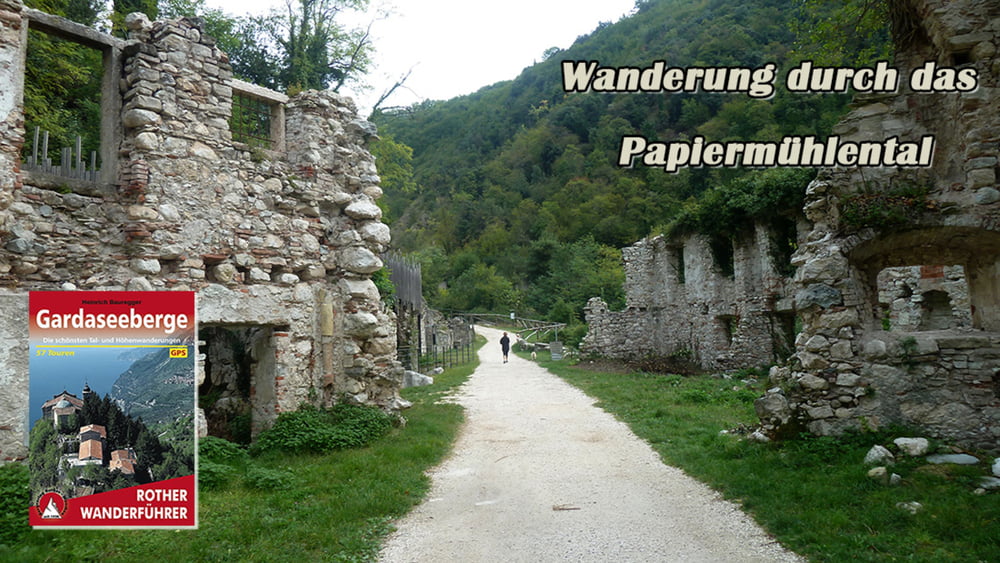

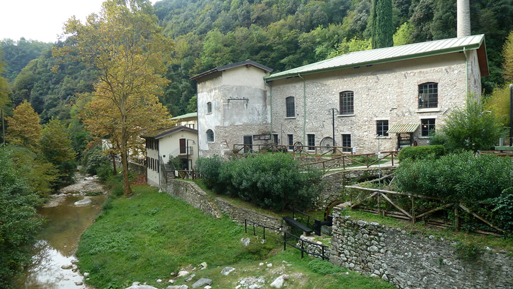
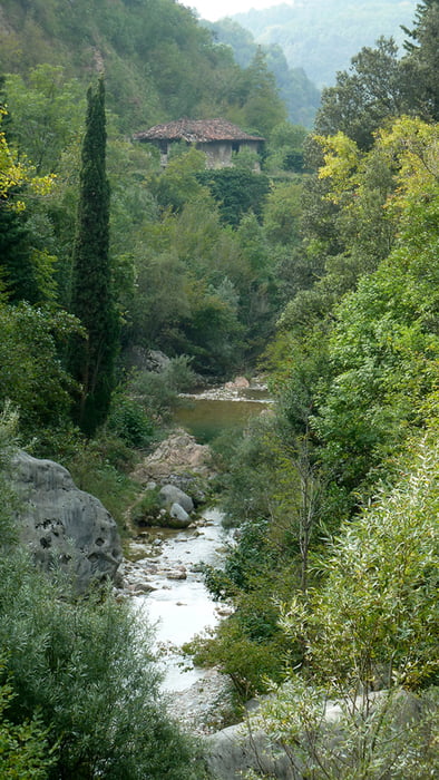
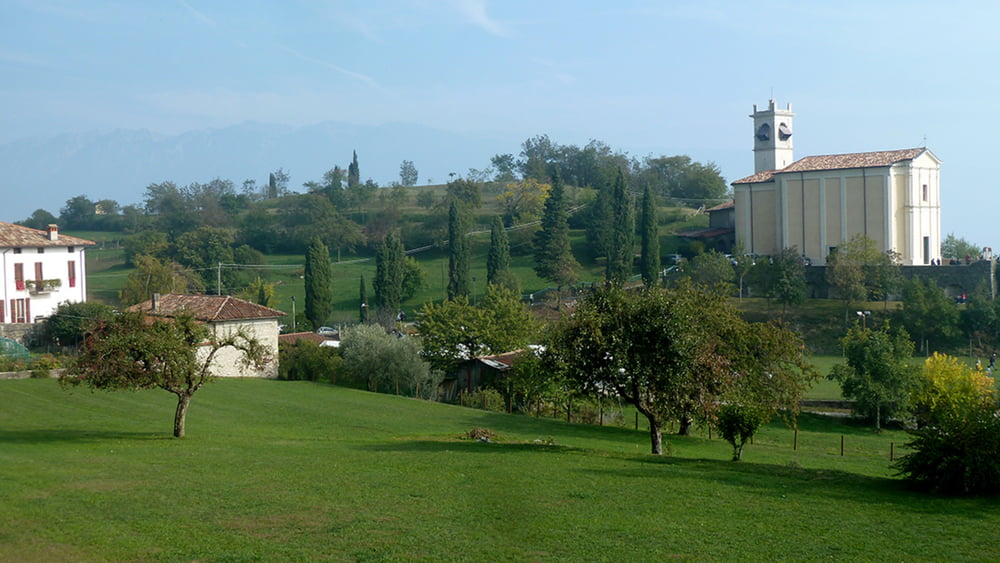
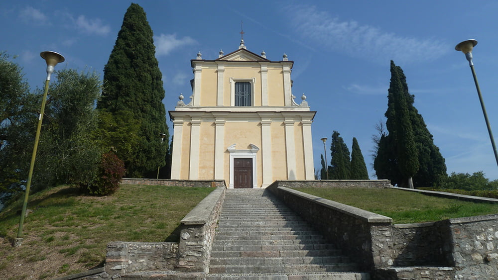
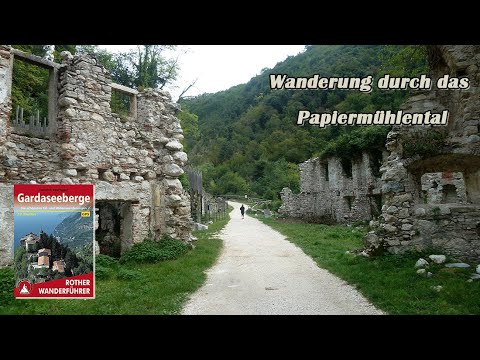
Unsere erste Wanderung am Gardasee machen wir im tief eingeschnittenen Tal des Toscolano-Baches, der den großen Schwemmkegel schuf, auf dem heute der Ort Toscolano - Maderno liegt. Das Auto parken wir auf dem Wanderparkplatz Maina di sotto. Laut GPS Daten, laufen wir an Verfallenen Papiermühlen vorbei in das Parpiermühlental bis es steil zum Ort Gaino ansteigt, dass auf einer großen Hochebene liegt. Wir legen im Ort einen Abstecher zur Pfarrkirche ein und verlassen ihn wieder ins Papiermühlental. Im Tal wurde vom 15. bis Mitte des 20. Jahrhunderts Papier hergestellt. Das Papiermühlental, wie es landläufig genannt wurde, liegt im Naturpark »Alto Garda Bresciano« und stellt heute eines der wichtigsten Symbole des industriellen Erbes von Italien dar.
Tour gallery
Tour map and elevation profile
Minimum height 110 m
Maximum height 303 m
More about the tour author
|
|
schleidy |
Comments

GPS tracks
Trackpoints-
GPX / Garmin Map Source (gpx) download
-
TCX / Garmin Training Center® (tcx) download
-
CRS / Garmin Training Center® (crs) download
-
Google Earth (kml) download
-
G7ToWin (g7t) download
-
TTQV (trk) download
-
Overlay (ovl) download
-
Fugawi (txt) download
-
Kompass (DAV) Track (tk) download
-
Track data sheet (pdf) download
-
Original file of the author (gpx) download
More about the tour author
|
|
schleidy |
Add to my favorites
Remove from my favorites
Edit tags
Open track
My score
Rate