Login

Forgotten password?

Cookies have to be accepted!
Your browser's cookie functionality is disabled. Please enable this functionality.

Not a member yet?

Register now
Login

Available for registred users only

Log in to use this feature.

Forgotten password?

Cookies have to be accepted!
Your browser's cookie functionality is disabled. Please enable this functionality.

Not a member yet?

Register now
Filter
Categories
Advanced filters
  • Distance (km)
  • Height
Save filters Reset filter

TrackRank

QRCode

Technical data

Distance10,9 km Height245 m Way down370 m Duration03:54 h:m Date21.11.2019
Scores Author Landscape Fun factor Fitness Technique

Statistics

822 Views Scores 25 Downloads Average
Rate
  • Track data sheet
  • Directions
  • Downloads
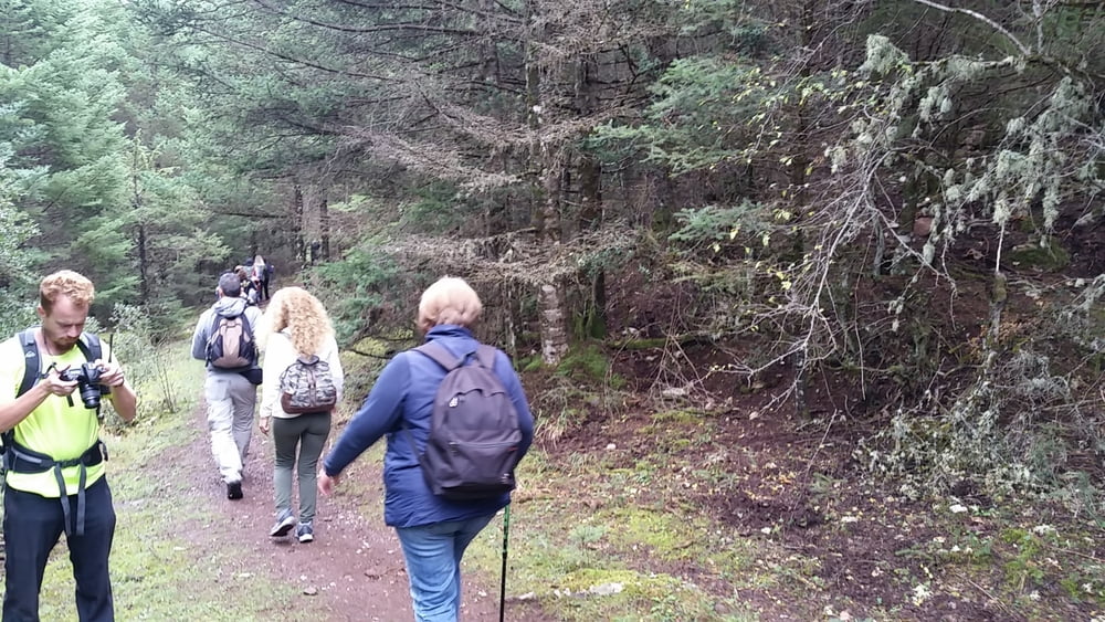
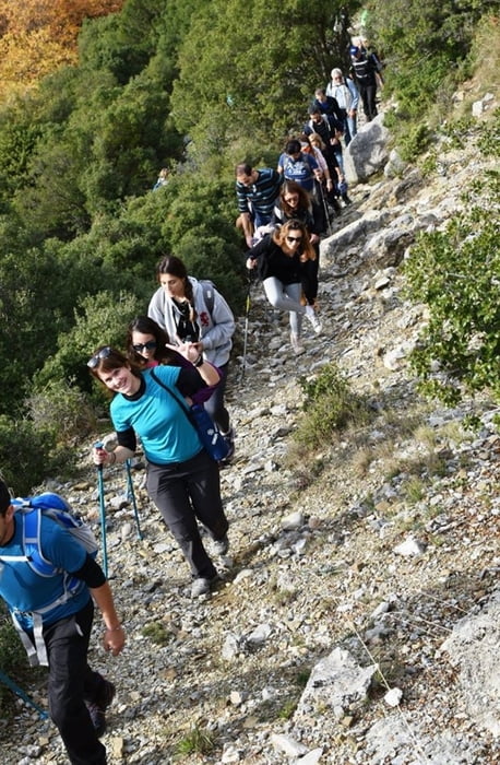
Teilstück des 75 km langen Menalon Trails. Wunderschöne Wanderung durch einen Tannenwald, die teilweise am Milaon Bachbett entlag führt. Der Anstieg nach Vytina ist der einzige größere Anstieg. 

Further information at

https://menalontrail.eu/

Tour gallery

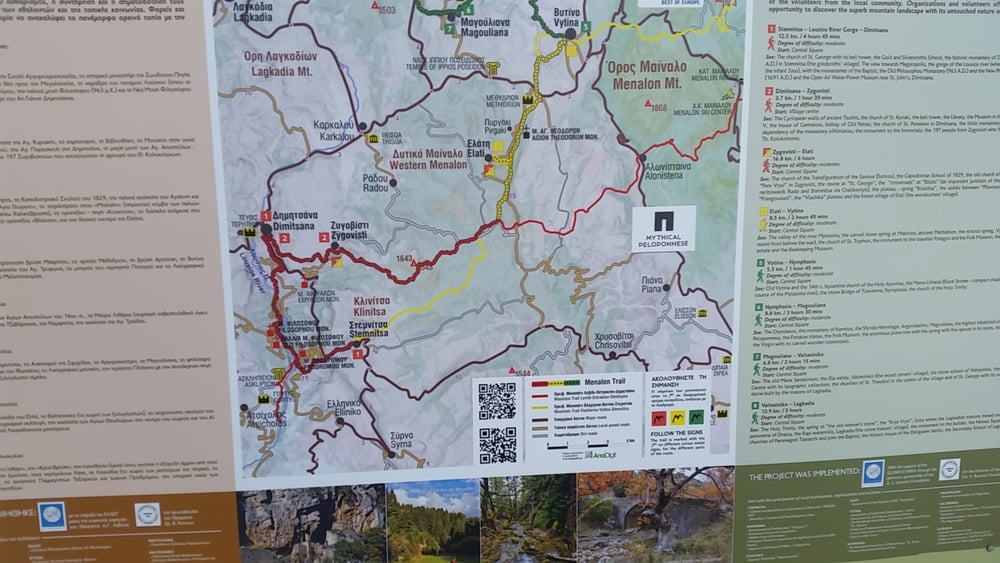
Tour map and elevation profile

  • Open Street Map
  • Google
Minimum height 913 m Maximum height 1181 m Detailed view

More about the tour author

inselmanie
Member since 2019

Send private message

Comments

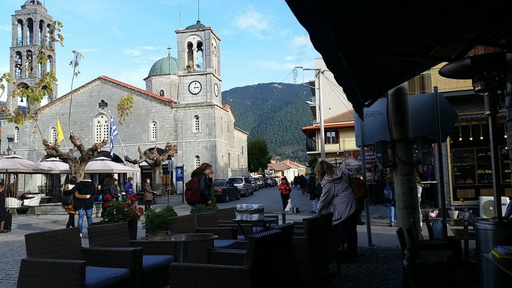
Wir fuhren mit dem Reisbus von Athen nach Elati, zum Startpunkt der Wanderung. In Vytina erwartete uns der Reisebus wieder, der uns nach Athen zurück brachte.

GPS tracks

Trackpoints
  • GPX / Garmin Map Source (gpx) download
  • TCX / Garmin Training Center® (tcx) download
  • CRS / Garmin Training Center® (crs) download
  • Google Earth (kml) download
  • G7ToWin (g7t) download
  • TTQV (trk) download
  • Overlay (ovl) download
  • Fugawi (txt) download
  • Kompass (DAV) Track (tk) download
  • Track data sheet (pdf) download
  • Original file of the author (gpx) download

More about the tour author

inselmanie
Member since 2019

Send private message
Share track
Add to my favorites
Remove from my favorites
Edit tags
My score
Rate
Track: Menalon Trail, Sektion 4, von Elati nach Vytina
Type: Hiking
Distance: 10,9 km
Evaluated on:
Duration:
Day(s)
Hour(s)
Minute(s)
Score: Landscape Fun factor Fitness Technique