


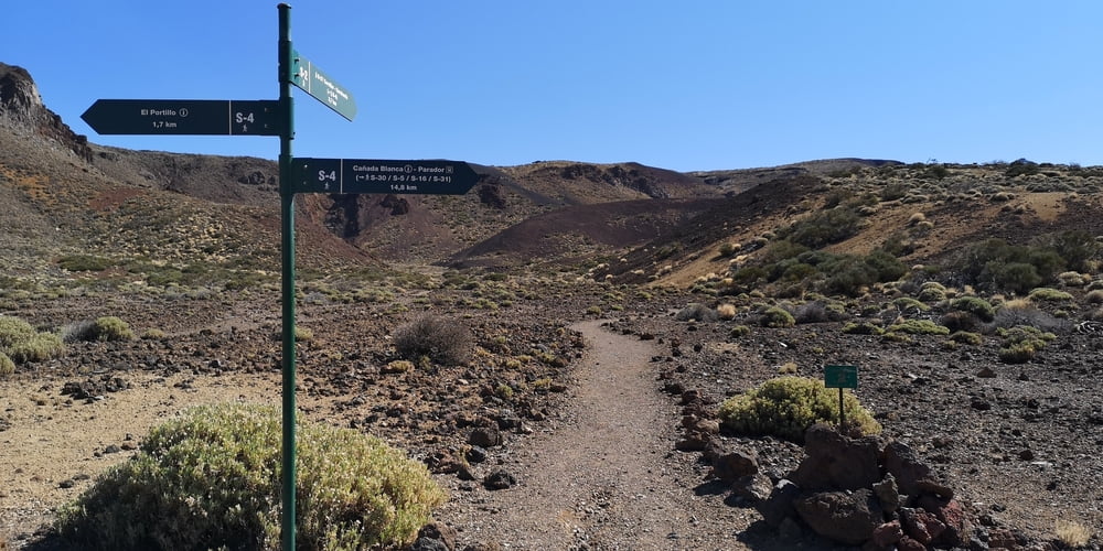
Die Wanderung ist nicht sehr anstrengend und gut zu laufen. Es ist eine offizielle und gut ausgeschilderte Wanderung (Sendero 2 – Arenas Negras). Die Wegfindung ist deshalb problemlos.
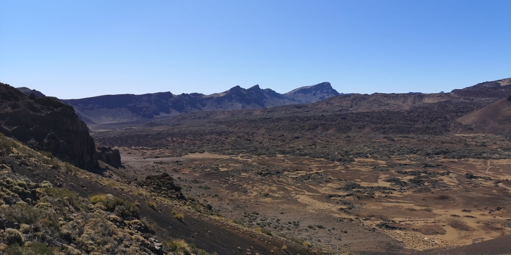
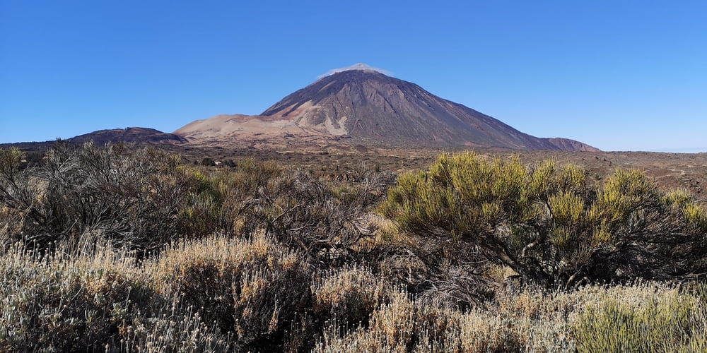
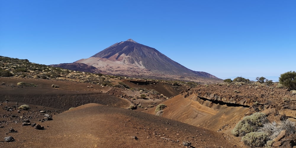
Start ist beim Besucherzentrum (Centro de Visitantes de El Portillo 2034 m). Man befindet sich über den Passatwolken und hat oft einen Blick auf den Teide. Je nachdem wie man die Rundwanderung geht muss man sich dafür mal umdrehen. Es ist eine Wanderung ohne Schatten!
Weitere Infos: http://www.teide-nationalpark.de/wandern-teide-nationalpark/wanderwege-teide-nationalpark/sendero-2-arenas-negras
Tour gallery
Tour map and elevation profile
Minimum height 2064 m
Maximum height 2325 m
More about the tour author
|
|
JoachimDief |
Comments

Parkplatz am der Straßenkreuzung El Portillo an der TF-21/TF-24. Hier gibt es ein Restaurant und ein Besucherzentrum Centro de Visitantes de El Portillo.
Wo: Carretera TF-21, Kilometerpunkt 32,1
Öffnungszeiten: ganzjährig (ausgenommen 25. Dezember und 1. Januar) von 9:00 bis 16:00 Uhr.
Tel.: 922 92 23 71
Preis: kostenfrei
GPS tracks
Trackpoints-
GPX / Garmin Map Source (gpx) download
-
TCX / Garmin Training Center® (tcx) download
-
CRS / Garmin Training Center® (crs) download
-
Google Earth (kml) download
-
G7ToWin (g7t) download
-
TTQV (trk) download
-
Overlay (ovl) download
-
Fugawi (txt) download
-
Kompass (DAV) Track (tk) download
-
Track data sheet (pdf) download
-
Original file of the author (gpx) download
More about the tour author
|
|
JoachimDief |
Add to my favorites
Remove from my favorites
Edit tags
Open track
My score
Rate