


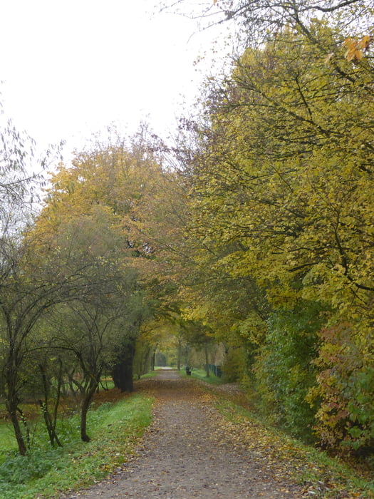
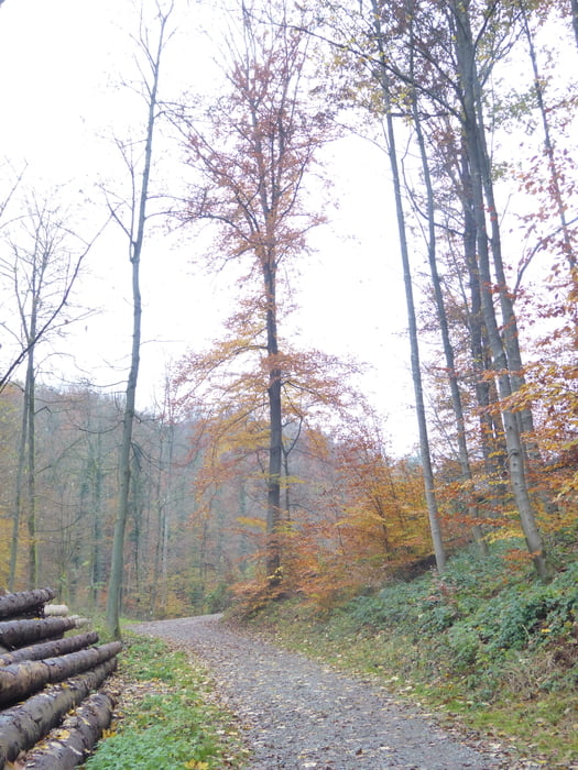
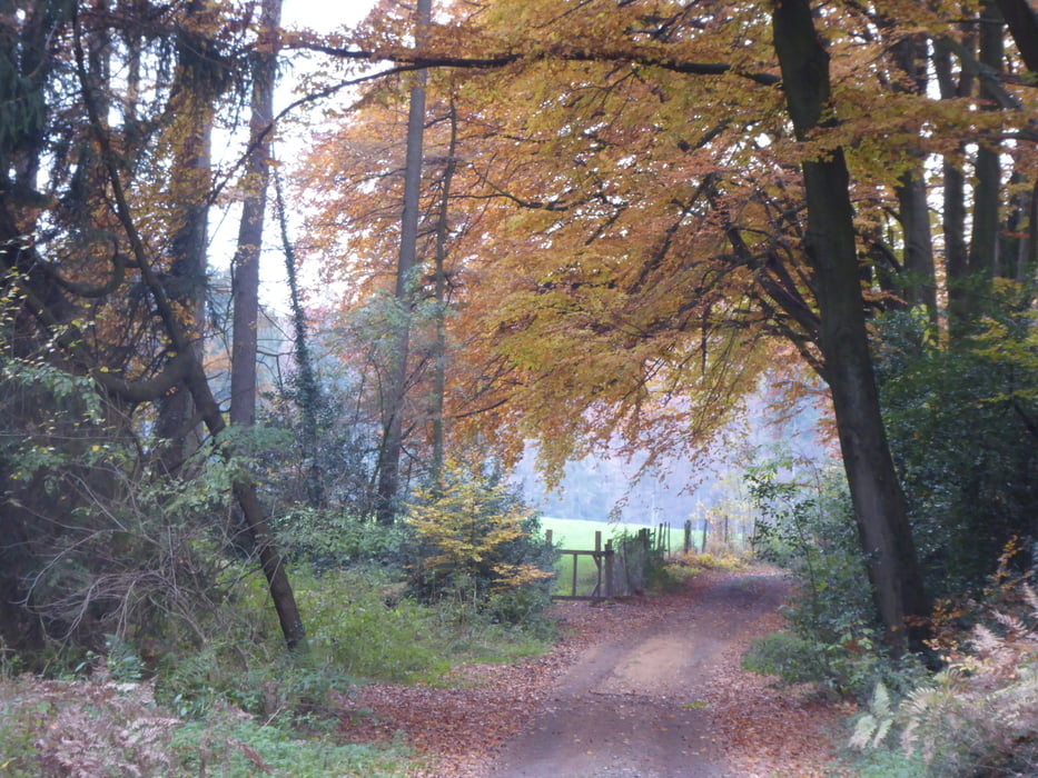
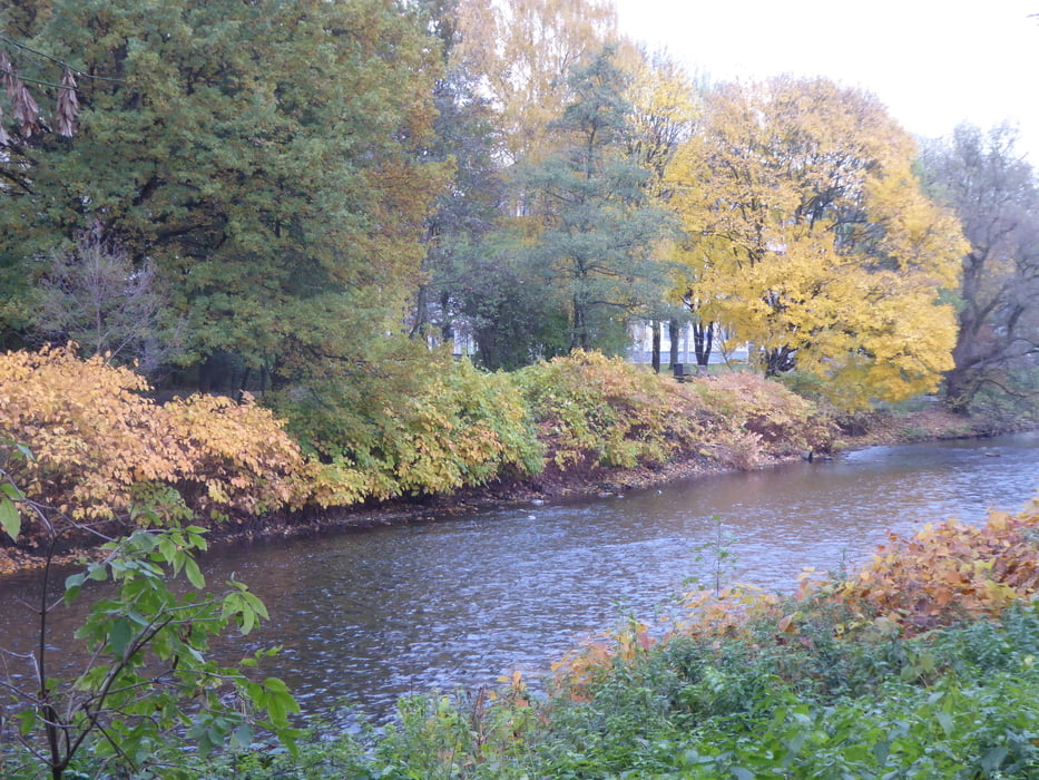
Leichlinger Herbstwanderung
Abwechslungsreiche Strecke von der Leichlinger Innenstadt aus. Es geht zunächst an der Wupper entlang Richtung Balker Aue, dann auf einem Feld- und Waldweg hoch Richtung Sonne, die Hauptstraße wird überquert und dann geht es auf einem kleinen Pfad hinab zu einem Wanderparkplatz, der am Beginn des Weltersbachtales liegt. Doch nicht dieses wird hinaufgewandert, sondern man geht das Schmerbachtal hoch bis Roderbirken. Auf den Höhen sind dann einige Wirtschaftswege asphaltiert. Bald schon geht es bergab durch den Wald hinunter ins Weltersbachtal. Durchs Tal wandert man bis zum Altenzentrum Hasensprungmühle vorbei am Hasensprungweiher. Die Cafeteria des Altenzentrums ist auch für Gäste jeden Tag von 14.30 Uhr bis 16.30 geöffnet. Wer will, kann hier eine Pause einlegen, bevor es zum Ausgangspunkt zurück geht.
Tour gallery
Tour map and elevation profile
Minimum height 57 m
Maximum height 241 m
More about the tour author

|
Kaiserwil |
Comments

GPS tracks
Trackpoints-
GPX / Garmin Map Source (gpx) download
-
TCX / Garmin Training Center® (tcx) download
-
CRS / Garmin Training Center® (crs) download
-
Google Earth (kml) download
-
G7ToWin (g7t) download
-
TTQV (trk) download
-
Overlay (ovl) download
-
Fugawi (txt) download
-
Kompass (DAV) Track (tk) download
-
Track data sheet (pdf) download
-
Original file of the author (gpx) download
More about the tour author
|
|
Kaiserwil |
Add to my favorites
Remove from my favorites
Edit tags
Open track
My score
Rate