


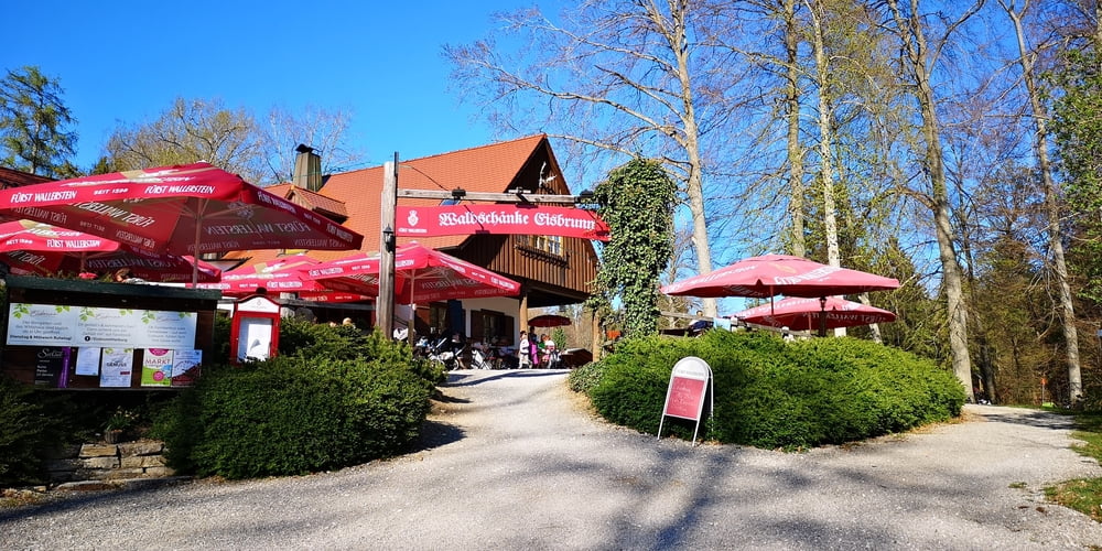
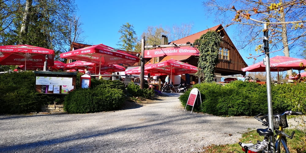
Die Wanderung verbindet zwei Ausflugsziele miteinander. Start ist die schöne Harburg. Es ist eine bestens erhaltene mittelalterliche Festungsanlage die besichtigt werden kann (gegen Eintritt). Von hier geht es zunächst in offener Rieslandschaft und dann durch schattigen Wald nach Eisbrunn. Eisbrunn ist ein Ausflugslokal inmitten von Wald bei dem man gut essen kann – im Sommer mit Biergarten. Der Weg ist Beschildert mit Eisbrunn und Harburg (je nachdem in welche Richtung man geht.
Harburg: https://burg-harburg.de/
Eisbrunn: https://eisbrunn-harburg.de
Tour gallery
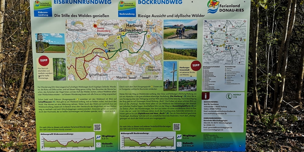

Tour map and elevation profile
Minimum height 284 m
Maximum height 584 m
More about the tour author
|
|
JoachimDief |
Comments

Auf der B2 nach Harburg fahren und dann zur Burg hinauffahren bis zum oberen Parkplatz.
GPS tracks
Trackpoints-
GPX / Garmin Map Source (gpx) download
-
TCX / Garmin Training Center® (tcx) download
-
CRS / Garmin Training Center® (crs) download
-
Google Earth (kml) download
-
G7ToWin (g7t) download
-
TTQV (trk) download
-
Overlay (ovl) download
-
Fugawi (txt) download
-
Kompass (DAV) Track (tk) download
-
Track data sheet (pdf) download
-
Original file of the author (gpx) download
More about the tour author
|
|
JoachimDief |
Add to my favorites
Remove from my favorites
Edit tags
Open track
My score
Rate