


Von Lazise über Cavaion Veronese an Affi vorbei nach Caprino fahren wir hinauf in das kleine Dorf Lumini. Hier kann am Cafe an der Strasse aufgetankt werden.
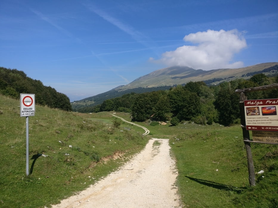
Weiter geht es Richtung Prada. Hier geht es nun steil bergauf auf einem geteerten Forstweg bis zum Wanderparkplatz des Refugio Monte Baldo.
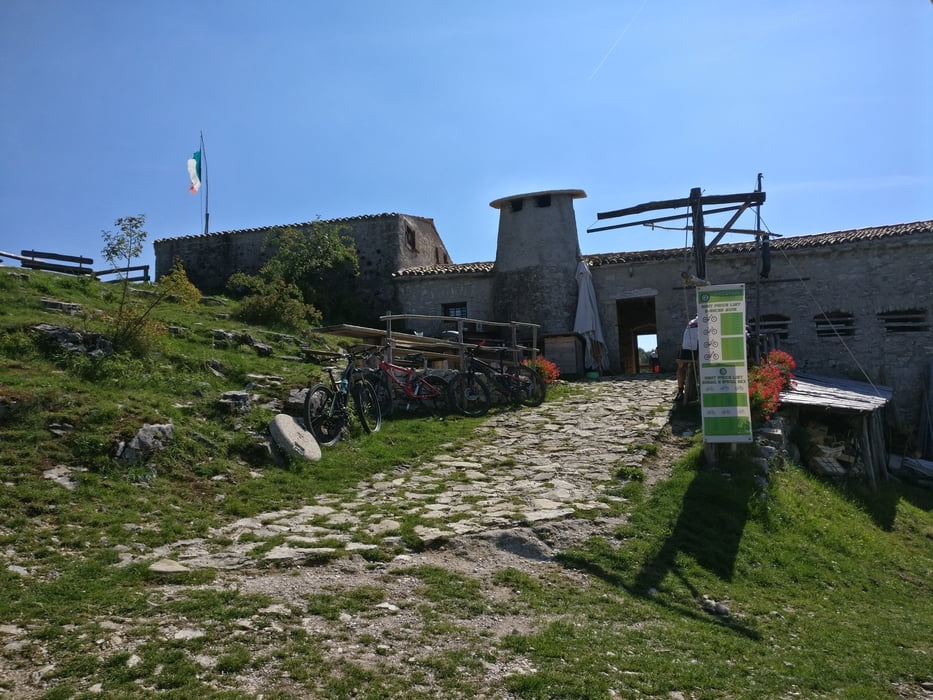
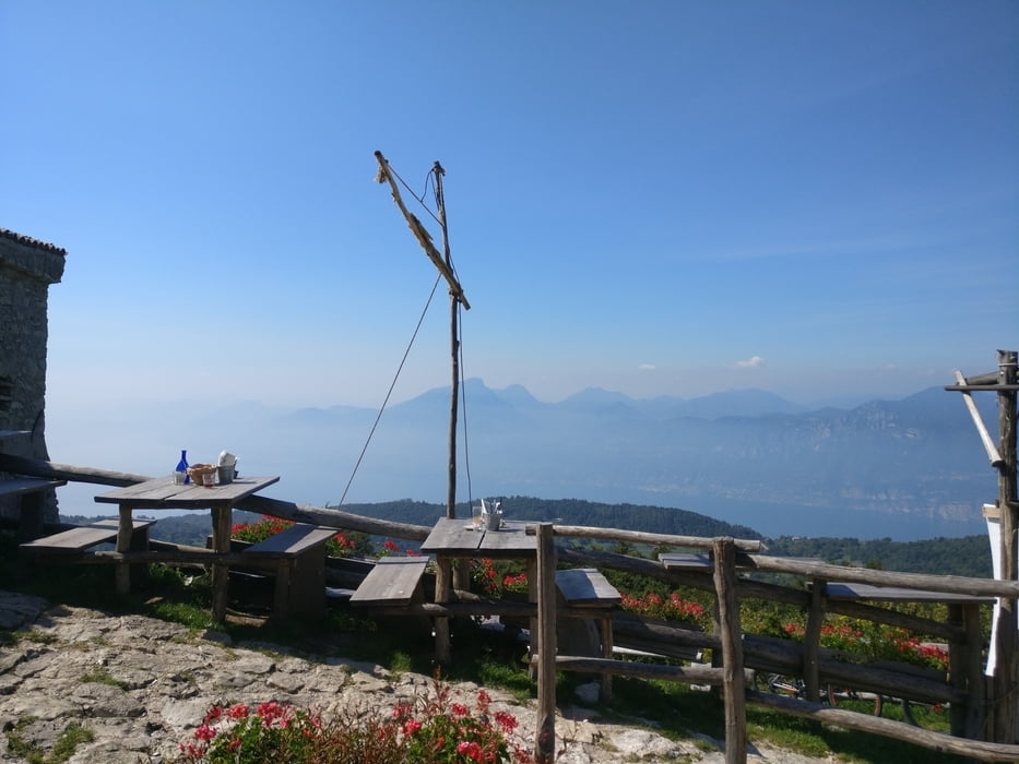
Hier oben angekommen besuchen wir zur Stärkung die Malga Pralongo welche absolut zu empfehlen ist. Sehr netter Almwirt sehr gutes Essen bei einer herrlichen Aussicht.
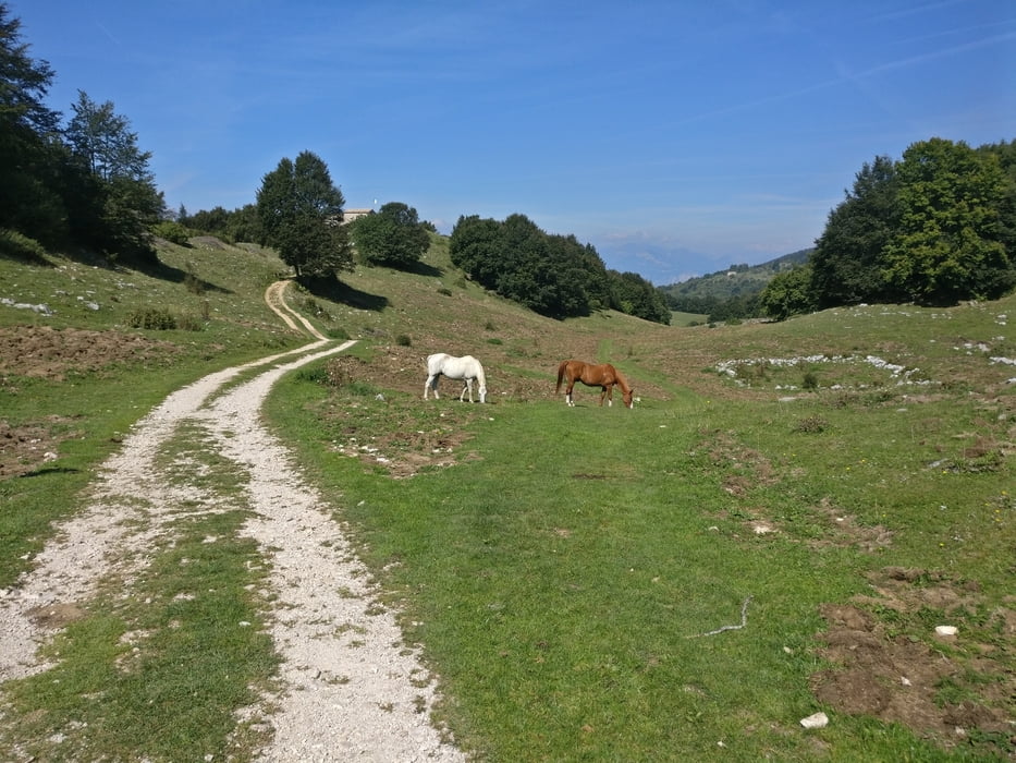
Über einen Wiesentrail fahren wir nun wieder hinunter nach Prada und versuchen hierbei den Hinterlassenschaften der Kühe auszuweichen, was uns nicht immer gelang :-)
Zurück geht’s nun über Garda , Bardolino am Gardasee entlang zum Ausganspunkt.
Tour gallery
Tour map and elevation profile
Minimum height -62 m
Maximum height 1269 m
More about the tour author
|
|
volker67 |
Comments

GPS tracks
Trackpoints-
GPX / Garmin Map Source (gpx) download
-
TCX / Garmin Training Center® (tcx) download
-
CRS / Garmin Training Center® (crs) download
-
Google Earth (kml) download
-
G7ToWin (g7t) download
-
TTQV (trk) download
-
Overlay (ovl) download
-
Fugawi (txt) download
-
Kompass (DAV) Track (tk) download
-
Track data sheet (pdf) download
-
Original file of the author (gpx) download
More about the tour author
|
|
volker67 |
Add to my favorites
Remove from my favorites
Edit tags
Open track
My score
Rate