
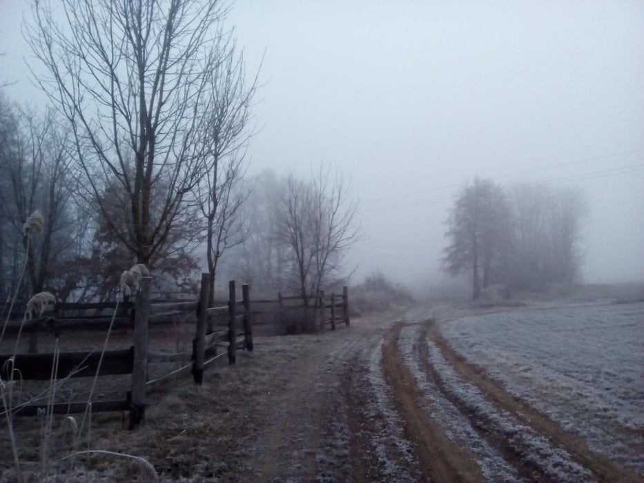

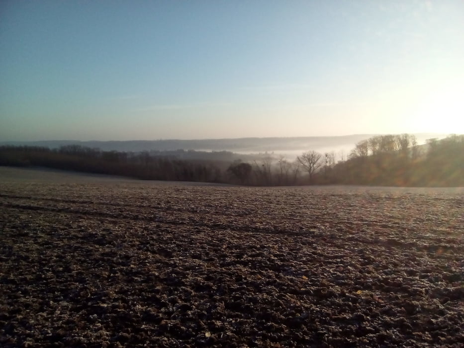
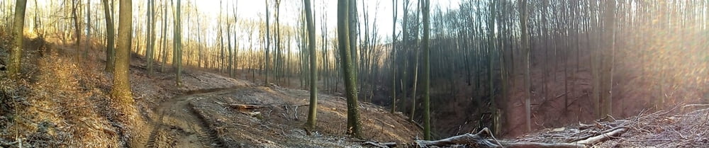
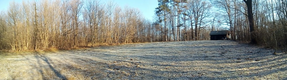
A túra útvonala viszonylag jól jelzett, egy-két eltévedési lehetőség van csak a figyelmetlenebb alakoknak(pl. nekem). Zalához mérten csapadékos időben vendégmarasztaló sár lehet. Néhány helyen érdemes kitérőt tenni, ha az embernek van ideje, nekem most nem volt, sajnos. Ilyen pl. a Kőszikla-szurdok.
Tour gallery
Tour map and elevation profile
Minimum height 120 m
Maximum height 327 m
More about the tour author
|
|
frontera74 |
Comments

Palinban nem áll meg a vonat, Nagykanizsáról vagy Gelséről busszal lehet odajutni. Zalakomárba vonattal vagy busszal is el lehet jutni.
GPS tracks
Trackpoints-
GPX / Garmin Map Source (gpx) download
-
TCX / Garmin Training Center® (tcx) download
-
CRS / Garmin Training Center® (crs) download
-
Google Earth (kml) download
-
G7ToWin (g7t) download
-
TTQV (trk) download
-
Overlay (ovl) download
-
Fugawi (txt) download
-
Kompass (DAV) Track (tk) download
-
Track data sheet (pdf) download
-
Original file of the author (gpx) download
More about the tour author
|
|
frontera74 |
Add to my favorites
Remove from my favorites
Edit tags
Open track
My score
Rate