


- Rundkurs im Uhrzeigersinn
- Start/Ziel: Finalpia
- 2 KM Flach auf Asfalt
- Anschliessend auf Asfalt mittelsteil bis KM 2,9 - MH 117
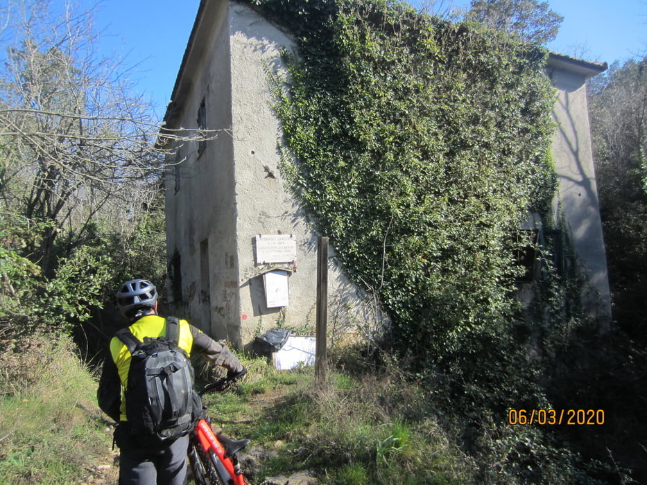
- Ab Beginn des Rundkurses KM 4,8 - MH 164 bis KM 6,7 - MH 321 Karrenweg, Geröll (viel schieben ist angesagt)
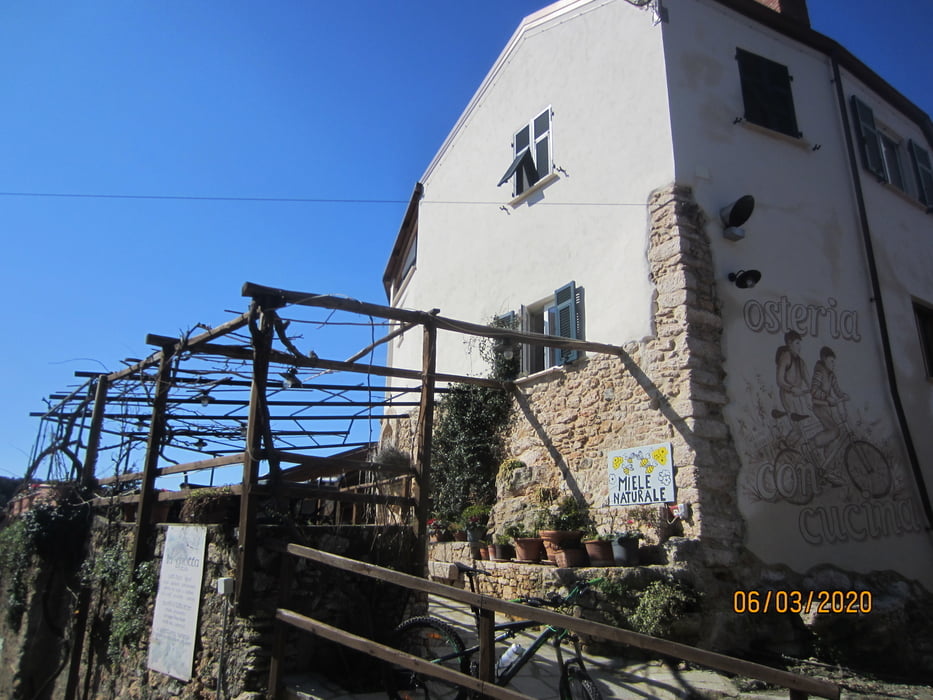
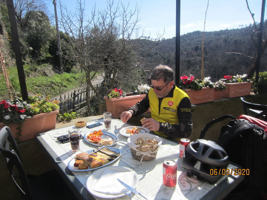
- KM 13 - MH 260 Osteria "La Grotta".
- Anschliessend flowige Abfahrt auf Schotter/Erde.
PS. Im Führer des Tourismusbüros ist die Fahrtrichtung gegen den Uhrzeigersinn angegeben. Mir als S2 Fahrer würde diese Abfahrt wenig Spass machen. Zu schwierig.
- Kein Ausblick auf das Meer.
Tour gallery

Tour map and elevation profile
Minimum height -11 m
Maximum height 404 m
More about the tour author
|
|
MargesinFriedrich |
Comments

GPS tracks
Trackpoints-
GPX / Garmin Map Source (gpx) download
-
TCX / Garmin Training Center® (tcx) download
-
CRS / Garmin Training Center® (crs) download
-
Google Earth (kml) download
-
G7ToWin (g7t) download
-
TTQV (trk) download
-
Overlay (ovl) download
-
Fugawi (txt) download
-
Kompass (DAV) Track (tk) download
-
Track data sheet (pdf) download
-
Original file of the author (gpx) download
More about the tour author
|
|
MargesinFriedrich |
Add to my favorites
Remove from my favorites
Edit tags
Open track
My score
Rate