


Start am Billaparkplatz Werndlstr. am Ortsanfang von Garsten.
Garsten Zentrum raus durch die Hölle rüber ins Steyrtal. Auf Nebenstr. rauf zum Polstererkogel. Vorbei am Gasthaus Sandner Linde. Noch ein paar Höhenmeter und dann runter nach Ternberg. Am Ennstalweg bis nach Losenstein, an der anderen Seite retour bis zur Anzweigung nach Laussa. Nach einen km links rauf Richtung Mühltal. Durch das Mühltal runter und über Sand wieder retour nach Garsten.
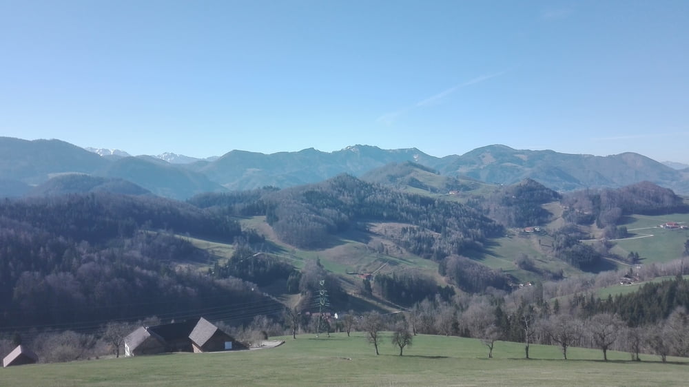
Tour gallery
Tour map and elevation profile
Minimum height 252 m
Maximum height 603 m
More about the tour author
|
|
Ritchy3 |
Comments

Parkplatz Billa, an der Ortsgrenze von Steyr und Garsten.
GPS tracks
Trackpoints-
GPX / Garmin Map Source (gpx) download
-
TCX / Garmin Training Center® (tcx) download
-
CRS / Garmin Training Center® (crs) download
-
Google Earth (kml) download
-
G7ToWin (g7t) download
-
TTQV (trk) download
-
Overlay (ovl) download
-
Fugawi (txt) download
-
Kompass (DAV) Track (tk) download
-
Track data sheet (pdf) download
-
Original file of the author (gpx) download
More about the tour author
|
|
Ritchy3 |
Add to my favorites
Remove from my favorites
Edit tags
Open track
My score
Rate