
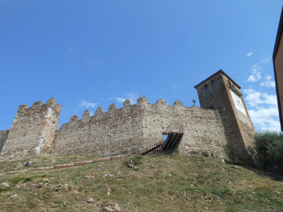

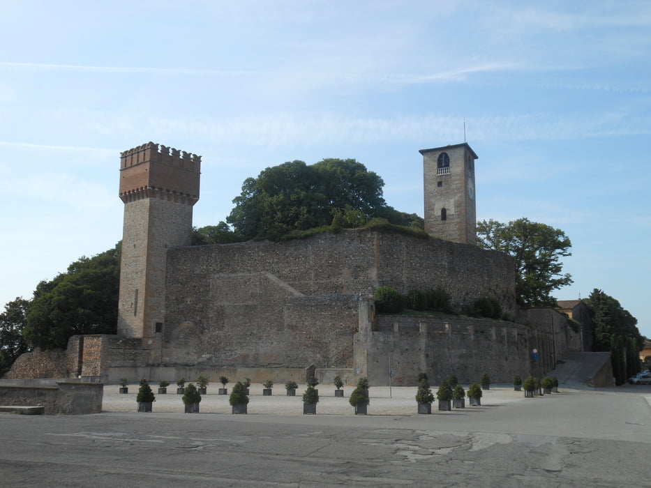
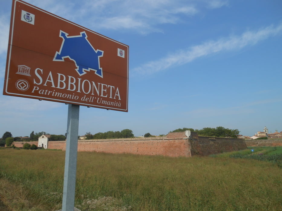
Lasciato il lago si va sulle colline moreniche dell'alto Mantovano , passando per i borghi medievali di Ponti sul Mincio, Monzambano,Volta Mantovana,Goito , Rivalta egiungere al meraviglioso santuario delle Grazie .Dal Santiuario alla meravigliosa Mantova saranno 8 km , 3 dei quali vicini al lago superiore .Passata la città dei Gonzaga lungo le campagne mantovane proseguiremo sugli argini del Po e del fiume Oglio per poi deviare verso il patrimonio UNESCO di Sabbioneta .
Further information at
https://drive.google.com/open?id=1i0EnxPx4LqVzKWy64sDgyDz34MbNalmbTour gallery
Tour map and elevation profile
Minimum height 14 m
Maximum height 115 m
More about the tour author

|
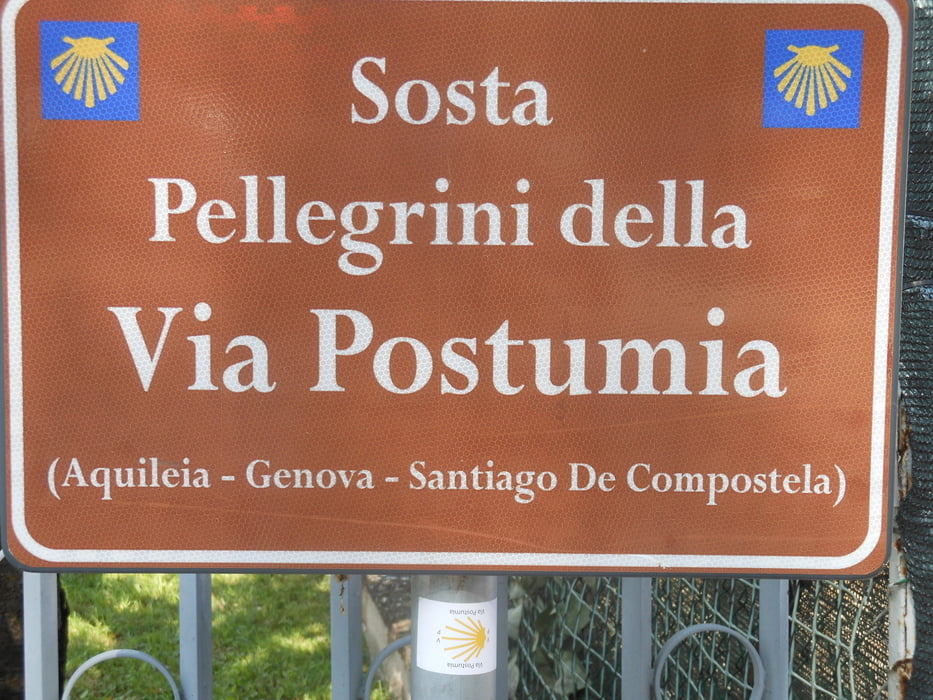
viapostumia |
Comments

GPS tracks
Trackpoints-
GPX / Garmin Map Source (gpx) download
-
TCX / Garmin Training Center® (tcx) download
-
CRS / Garmin Training Center® (crs) download
-
Google Earth (kml) download
-
G7ToWin (g7t) download
-
TTQV (trk) download
-
Overlay (ovl) download
-
Fugawi (txt) download
-
Kompass (DAV) Track (tk) download
-
Track data sheet (pdf) download
-
Original file of the author (gpx) download
More about the tour author
|
|
viapostumia |
Add to my favorites
Remove from my favorites
Edit tags
Open track
My score
Rate