
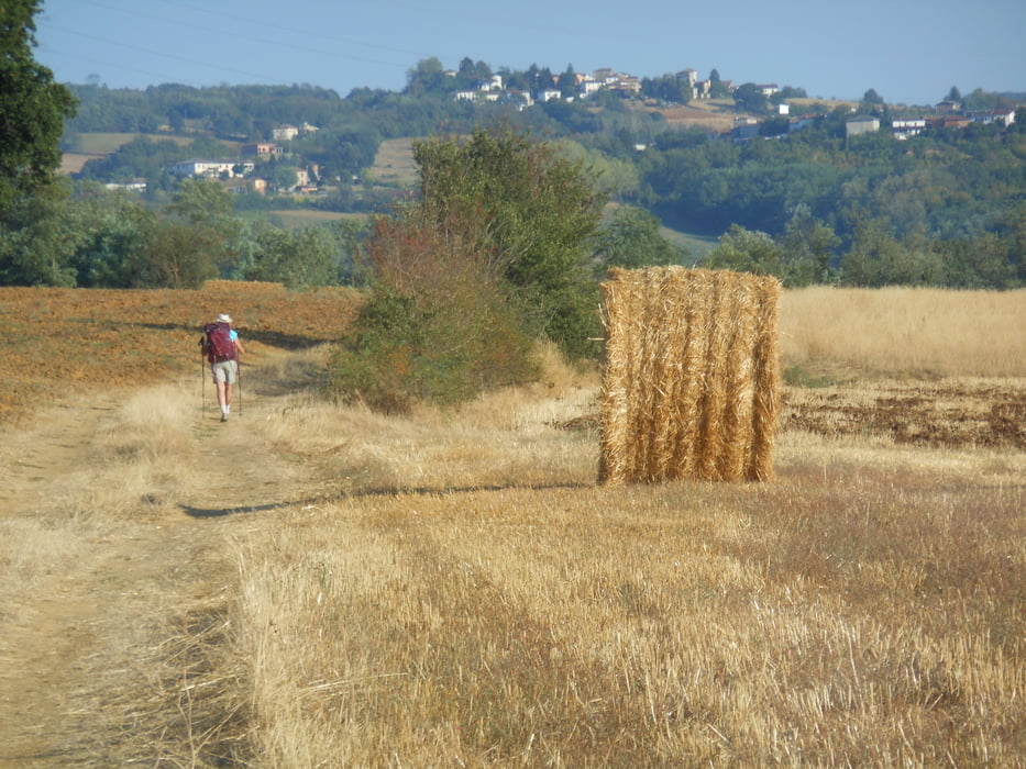

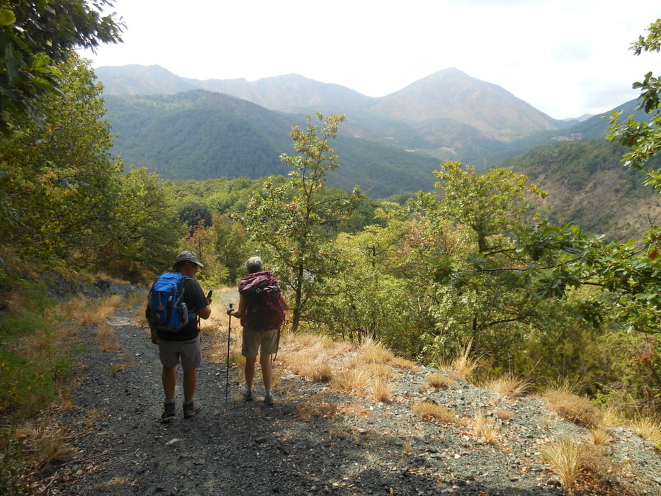
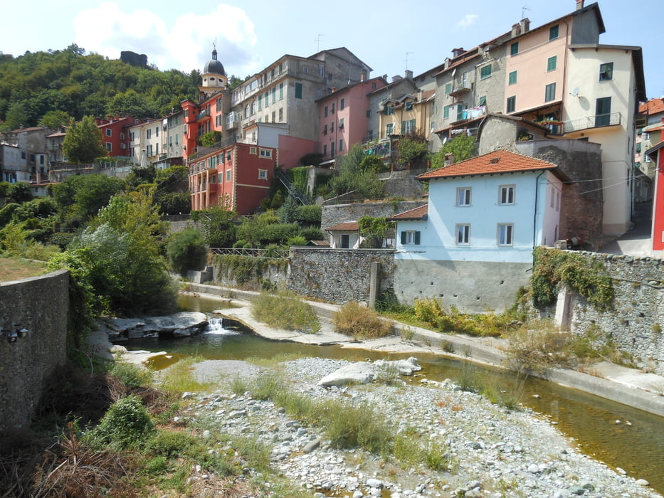
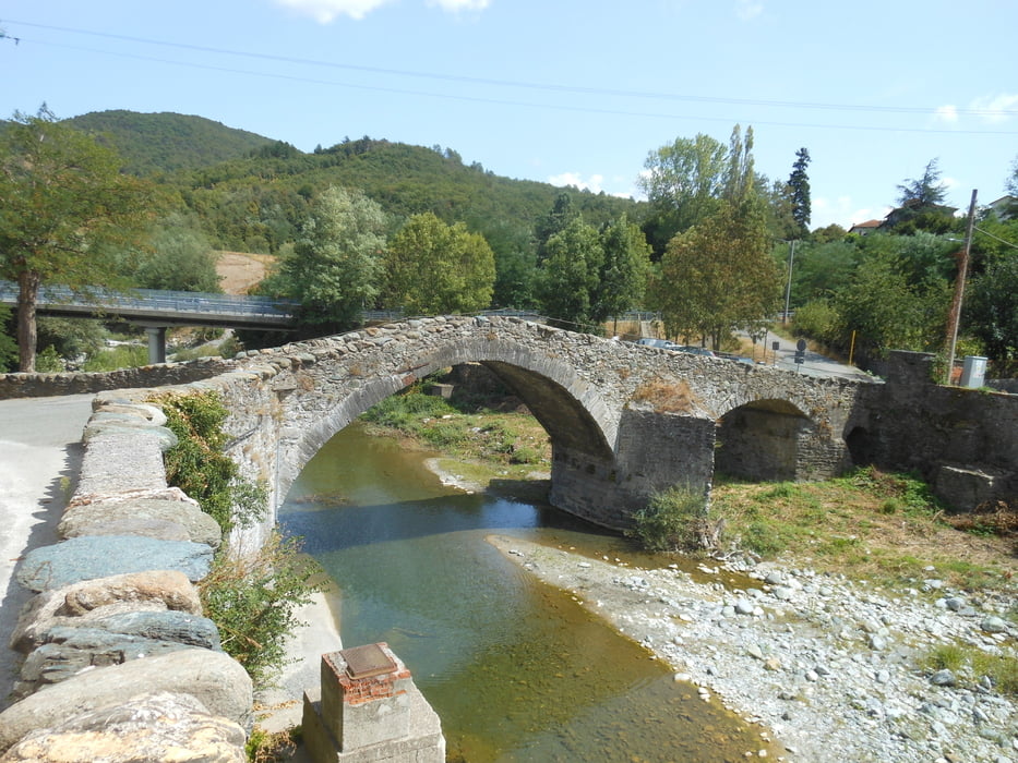
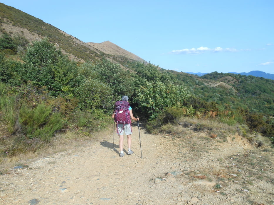
da Tortona si procede in pianura per diversi km , fino a Carbonara Scrivia, da qui iniziano i colli tortonesi che ci porteranno a Spineto Scrivia prima e Stazzano poi. Superiamo il fiume Scrivia e passato Serravalle Scrivia si torna a salire, stavolta tra i bodchi verso Gavi , poi ancora tanti vigneti fino a Bosio. Da qui si inizia a salire fino ai 650 metri , si scende alla bella Voltaggio , si risale agli 830 metri della Bocchetta, si scende fino a Pontedecimo, ancora una salita verso il sentiero dei forti di Genova , e la Superba ai nostri piedi , arrivo meraviglioso .
Further information at
https://drive.google.com/open?id=1i0EnxPx4LqVzKWy64sDgyDz34MbNalmbTour gallery
Tour map and elevation profile
Minimum height 10 m
Maximum height 835 m
More about the tour author

|
viapostumia |
Comments

GPS tracks
Trackpoints-
GPX / Garmin Map Source (gpx) download
-
TCX / Garmin Training Center® (tcx) download
-
CRS / Garmin Training Center® (crs) download
-
Google Earth (kml) download
-
G7ToWin (g7t) download
-
TTQV (trk) download
-
Overlay (ovl) download
-
Fugawi (txt) download
-
Kompass (DAV) Track (tk) download
-
Track data sheet (pdf) download
-
Original file of the author (gpx) download
More about the tour author
|
|
viapostumia |
Add to my favorites
Remove from my favorites
Edit tags
Open track
My score
Rate