Login

Forgot your login?

Cookies have to be accepted!
Your browser's cookie functionality is disabled. Please enable this functionality.

Not a member yet?

Register now
Login

Available for registred users only

Log in to use this feature.

Forgot your login?

Cookies have to be accepted!
Your browser's cookie functionality is disabled. Please enable this functionality.

Not a member yet?

Register now
Filter
Categories
Advanced filters
  • Distance (km)
  • Height
Save filters Reset filter

TrackRank

QRCode

Technical data

Distance13,9 km Height618 m Way down570 m Duration03:47 h:m Date02.04.2020
Scores Author Landscape Fun factor Fitness Technique

Statistics

118 Views Scores 15 Downloads Average
Rate
  • Track data sheet
  • Directions
  • Downloads
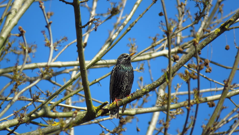
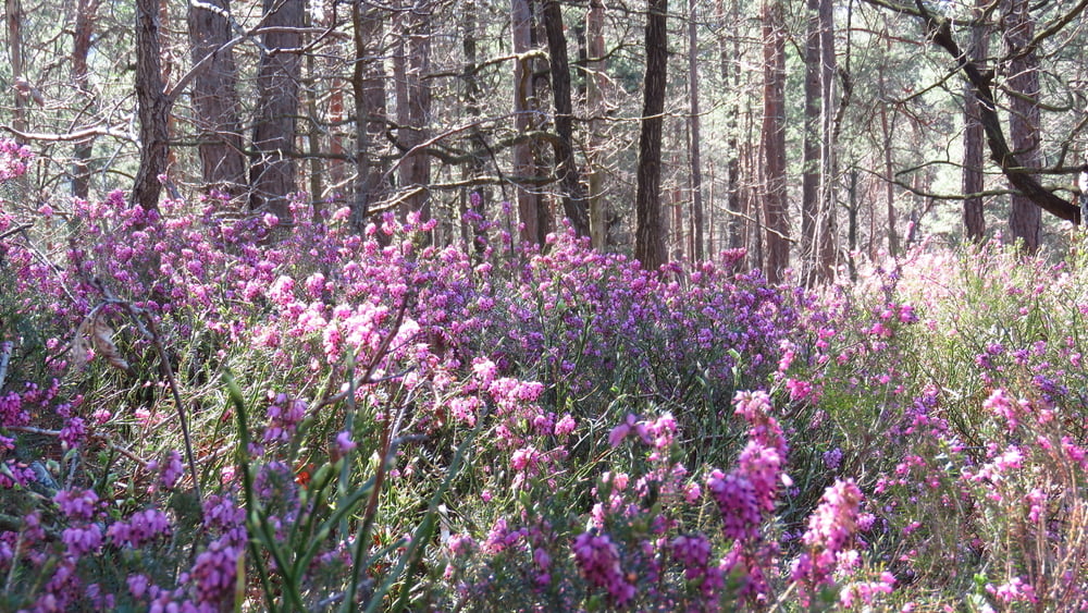
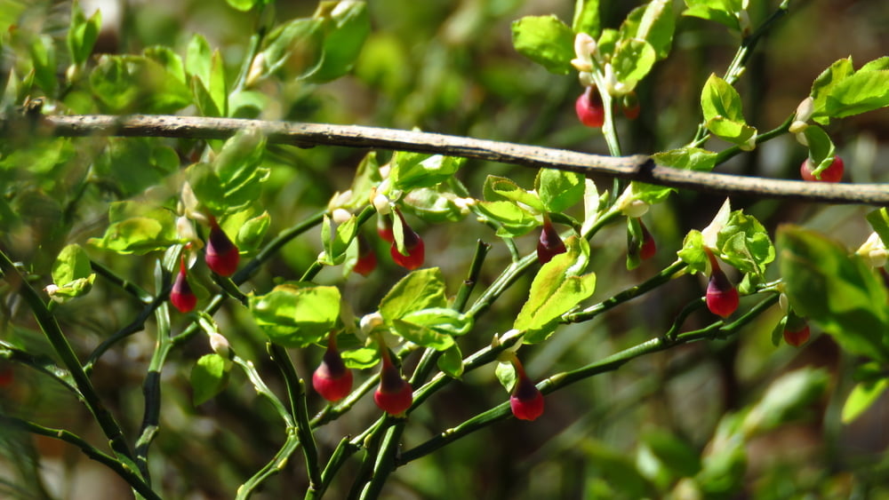
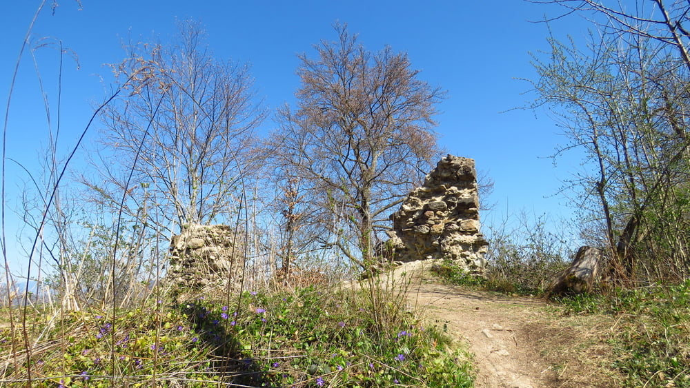
V občinskih mejah.  Parkiral pri Peclju. Do Lazarja sem šel mal po svoje, v dolino Besnice tudi. Zanimiv konec, ki sem ga bolj slabo poznal. Lepi razgledi, ogromno resja in še več borovničevja. Ljudi sem srečeval samo med Pečarjem in Podgradom, gužve pa ni bilo

Tour gallery

Tour map and elevation profile

  • Open Street Map
  • Google
Minimum height 272 m Maximum height 587 m Detailed view

More about the tour author

sandibor
Member since 2017

Send private message

Comments

GPS tracks

Trackpoints
  • GPX / Garmin Map Source (gpx) download
  • TCX / Garmin Training Center® (tcx) download
  • CRS / Garmin Training Center® (crs) download
  • Google Earth (kml) download
  • G7ToWin (g7t) download
  • TTQV (trk) download
  • Overlay (ovl) download
  • Fugawi (txt) download
  • Kompass (DAV) Track (tk) download
  • Track data sheet (pdf) download
  • Original file of the author (gpx) download

More about the tour author

sandibor
Member since 2017

Send private message
Share track
Add to my favorites
Remove from my favorites
Edit tags
My score
Rate
Track: Podgrad-Lazarjev vrh-Grmadnik-Besnica-Pečar-Debn vrh-Podgrad
Type: Hiking
Distance: 13,9 km
Evaluated on:
Duration:
Day(s)
Hour(s)
Minute(s)
Score: Landscape Fun factor Fitness Technique