

Heimatregion
###########
Bärenstein große Runde
20 km - 5h
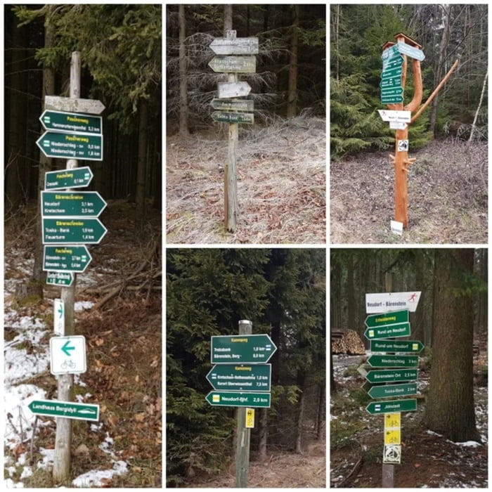
Von Bärenstein geht es zum Niederschlager Bahnhof und weiter nach Kretscham.
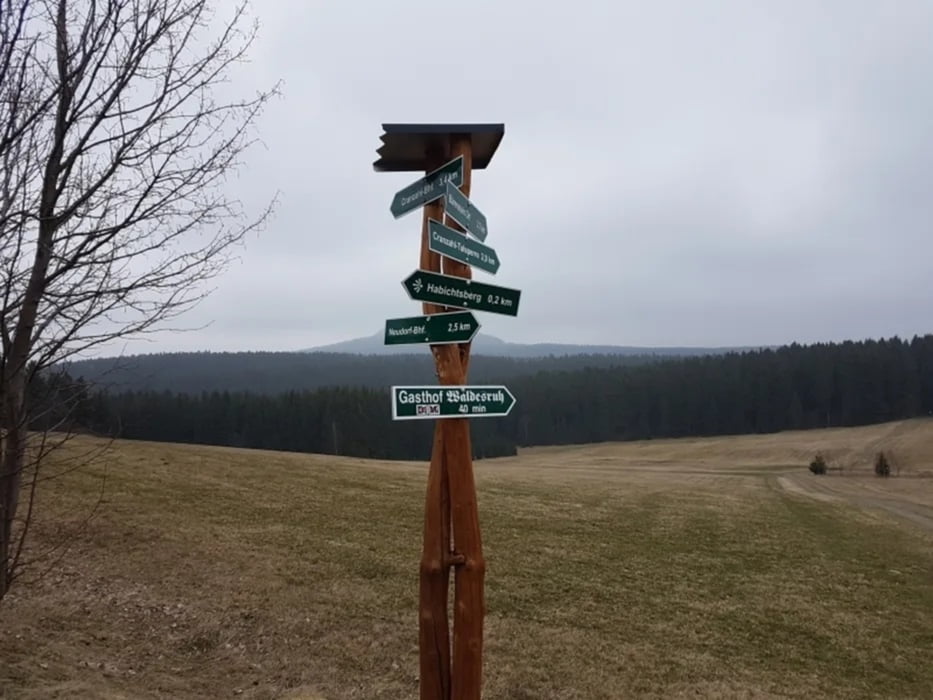
Über die Neudorfer Höhe geht es zur Bärensteiner Bank weiter zum Habichtberg.
Es geht talwärts nach Cranzahl. Vorbei am Cranzahler Bahnhof geht es wieder hoch in Richtung Talsperre Cranzahl. Vor dem Dammweg biegen wir links in dem KAMMWEG.
Durch den Ort geht es wieder nach Hause.
FAZIT:
- tolle Heimat das Erzgebirge
Tour gallery
Tour map and elevation profile
Minimum height 641 m
Maximum height 882 m
More about the tour author
|
|
Stummi |
Comments

GPS tracks
Trackpoints-
GPX / Garmin Map Source (gpx) download
-
TCX / Garmin Training Center® (tcx) download
-
CRS / Garmin Training Center® (crs) download
-
Google Earth (kml) download
-
G7ToWin (g7t) download
-
TTQV (trk) download
-
Overlay (ovl) download
-
Fugawi (txt) download
-
Kompass (DAV) Track (tk) download
-
Track data sheet (pdf) download
-
Original file of the author (gpx) download
More about the tour author
|
|
Stummi |
Add to my favorites
Remove from my favorites
Edit tags
Open track
My score
Rate