
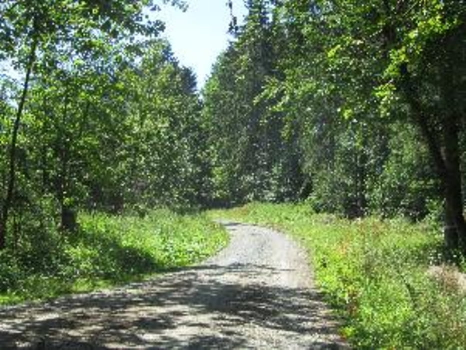

Vom Marienplatz in Hollfeld durch das romantische Kainachtal, Schwalbachtal über die Höhen nach Sanspareil. Burg Zwernitz und der Felsenpark der Markgräfin Wilhelmine laden zum Besuch. Pause in der einzigen Gaststätte am Morgenländischen Bau (geschlossen Ende Oktober bis Anfang April). Abstieg durch das Wacholdertal. Über Wonsees und Krögelstein, durch das Kaiserbachtal und über den Höhenzug nach Neidenstein, seit dem Bauernkrieg mit Burgruine. Dem Wiesenttal folgend bis Hollfeld. 20 Km. Einkehrmöglichkeiten außer Sanspareil noch in Wonsees.
Tour map and elevation profile
Minimum height 374 m
Maximum height 498 m
More about the tour author

|
hanspeter50 |
Comments

GPS tracks
Trackpoints-
GPX / Garmin Map Source (gpx) download
-
TCX / Garmin Training Center® (tcx) download
-
CRS / Garmin Training Center® (crs) download
-
Google Earth (kml) download
-
G7ToWin (g7t) download
-
TTQV (trk) download
-
Overlay (ovl) download
-
Fugawi (txt) download
-
Kompass (DAV) Track (tk) download
-
Track data sheet (pdf) download
-
Original file of the author (gpx) download
More about the tour author
|
|
hanspeter50 |
Add to my favorites
Remove from my favorites
Edit tags
Open track
My score
Rate