

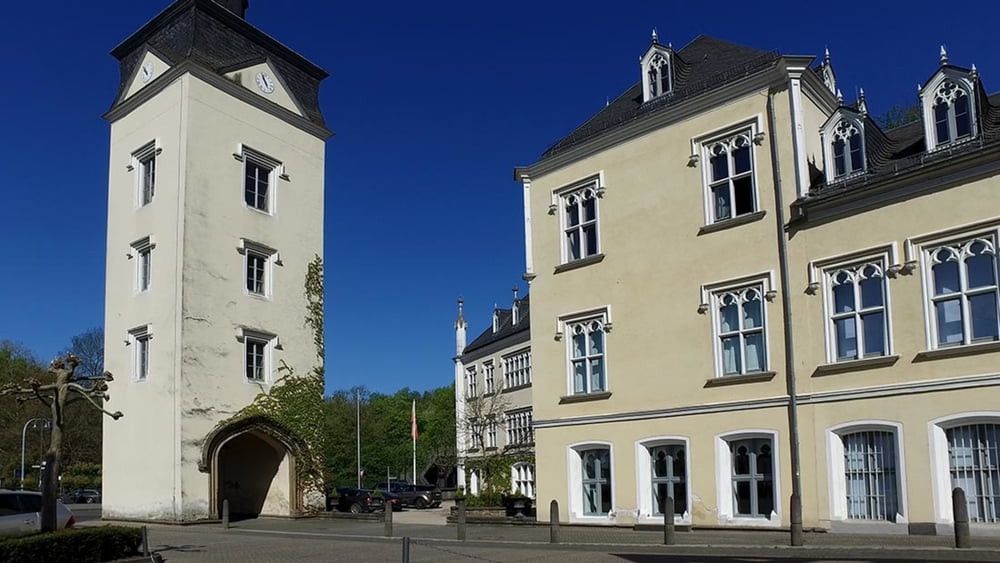
Die 8. Etappe starten wir in gewohnter Weise am Zielpunkt. Es ist dieses Mal die Bushaltestelle vor dem Bahnhof in Vallendar. Die Linie 8 bringt uns zum Schloss Sayn in dem gleichnamigen Ort.
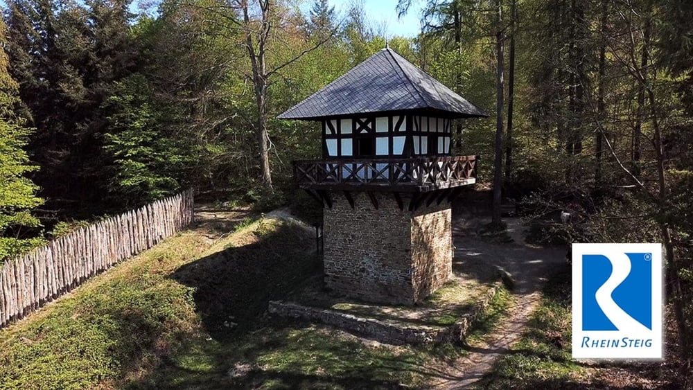
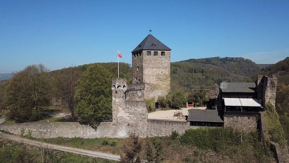
Eine nicht sonderlich anstrengende Etappe, die neben kulturellen Highlights auf der Strecke einen häufigen Wechsel zwischen Wald und offener Landschaft bietet. Obwohl man hier am Rande des belebten Neuwieder Beckens wandert, bietet die Etappe, besonders in den drei Seitentälern Brexbachtal, Wenigerbachtal und Meerbachtal, überraschende Ruhe. Mehrere Einkehrmöglichkeiten am Wegesrand laden normalerweise zum Verweilen ein, aber in Corona Zeiten ist alles anders.
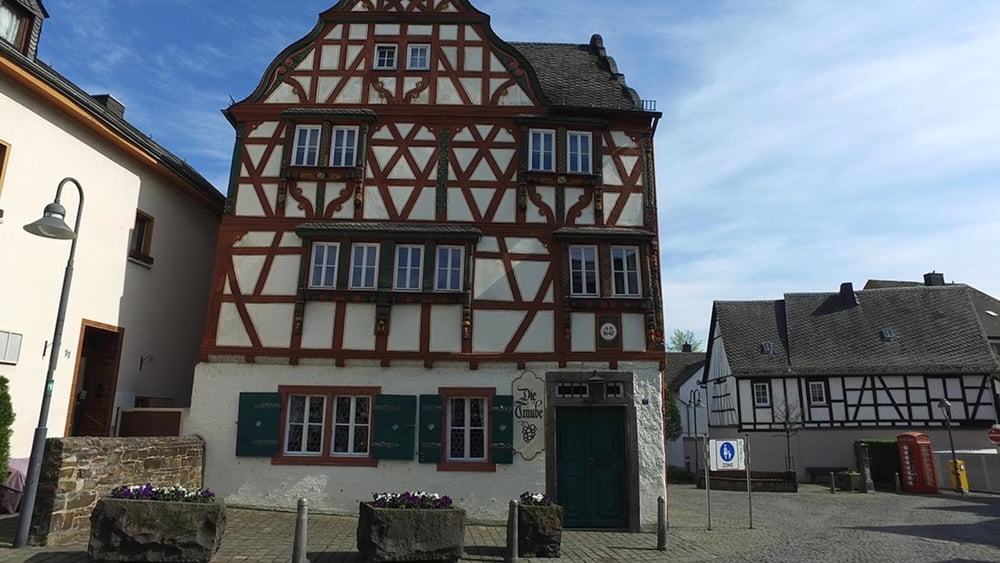
Tour gallery
Tour map and elevation profile
Minimum height 76 m
Maximum height 257 m
More about the tour author
|
|
schleidy |
Comments

GPS tracks
Trackpoints-
GPX / Garmin Map Source (gpx) download
-
TCX / Garmin Training Center® (tcx) download
-
CRS / Garmin Training Center® (crs) download
-
Google Earth (kml) download
-
G7ToWin (g7t) download
-
TTQV (trk) download
-
Overlay (ovl) download
-
Fugawi (txt) download
-
Kompass (DAV) Track (tk) download
-
Track data sheet (pdf) download
-
Original file of the author (gpx) download
More about the tour author
|
|
schleidy |
Add to my favorites
Remove from my favorites
Edit tags
Open track
My score
Rate