
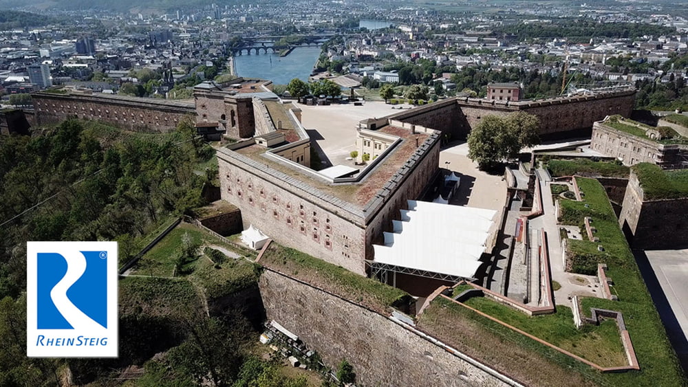

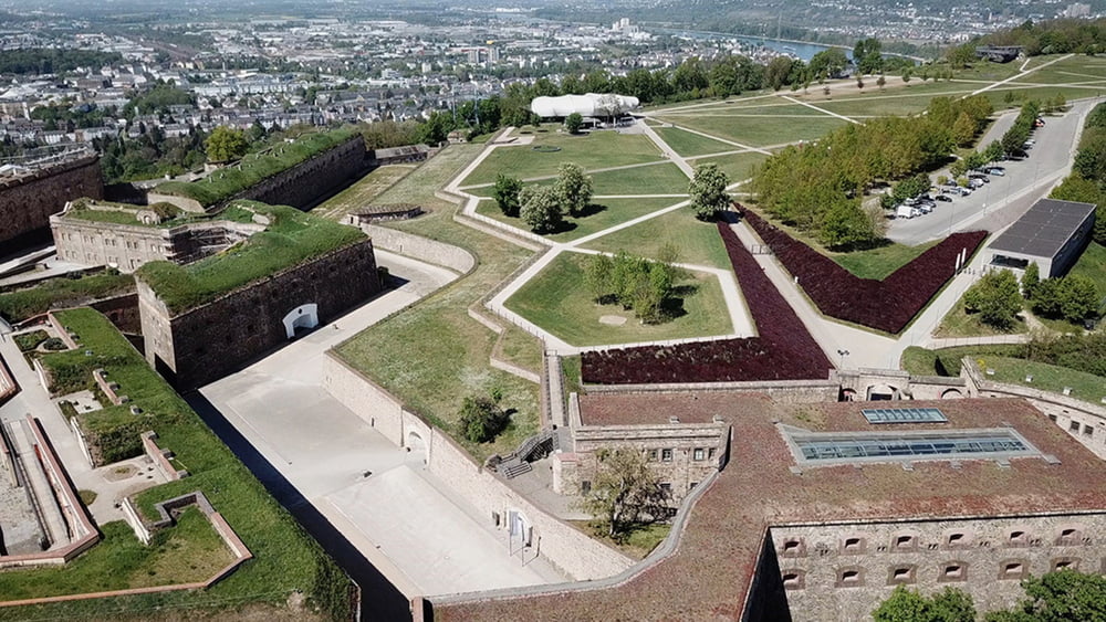
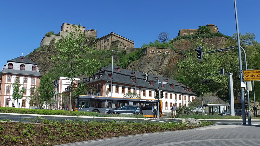
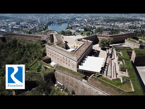
Diese Tour führt uns wieder ganz nah an den Rhein und tief in die deutsche Geschichte. Die Lage an Rhein und Mosel machten die Stadt Koblenz schon früh für Militärstrategen interessant. Deshalb war und ist Koblenz Garnisonsstadt. Das Deutsche Eck, die historische Altstadt und die rechtsrheinische Festung Ehrenbreitstein sollte man sich unbedingt ansehen. Der Ort Ehrenbreitstein genoss den Schutz der Festung, erlitt aber auch ihre Belagerungen. Es geht ganz nah am Rhein vorbei bis in die Höhen des Hochheimer Wald.
Tour gallery
Tour map and elevation profile
Minimum height 99999 m
Maximum height -99999 m
More about the tour author
|
|
schleidy |
Comments

GPS tracks
Trackpoints-
GPX / Garmin Map Source (gpx) download
-
TCX / Garmin Training Center® (tcx) download
-
CRS / Garmin Training Center® (crs) download
-
Google Earth (kml) download
-
G7ToWin (g7t) download
-
TTQV (trk) download
-
Overlay (ovl) download
-
Fugawi (txt) download
-
Kompass (DAV) Track (tk) download
-
Track data sheet (pdf) download
-
Original file of the author (gpx) download
More about the tour author
|
|
schleidy |
Add to my favorites
Remove from my favorites
Edit tags
Open track
My score
Rate