Login

Forgotten password?

Cookies have to be accepted!
Your browser's cookie functionality is disabled. Please enable this functionality.

Not a member yet?

Register now
Login

Available for registred users only

Log in to use this feature.

Forgotten password?

Cookies have to be accepted!
Your browser's cookie functionality is disabled. Please enable this functionality.

Not a member yet?

Register now
Filter
Categories
Advanced filters
  • Distance (km)
  • Height
Save filters Reset filter

TrackRank

QRCode

Technical data

Distance13,0 km Height261 m Way down266 m Duration00:00 h:m Date02.05.2020
Scores Author Landscape Fun factor Fitness Technique

Statistics

154 Views Scores 6 Downloads Average
Rate
  • Track data sheet
  • Directions
  • Downloads
lediglich im Abgang ist der Weg sehr schwer zu finden bzw hat dort der Bauer einen Acker errichtet ... empfehle den letzten KM auf Asphalt zu nehmen und nicht links ins Feld abzuzweigen
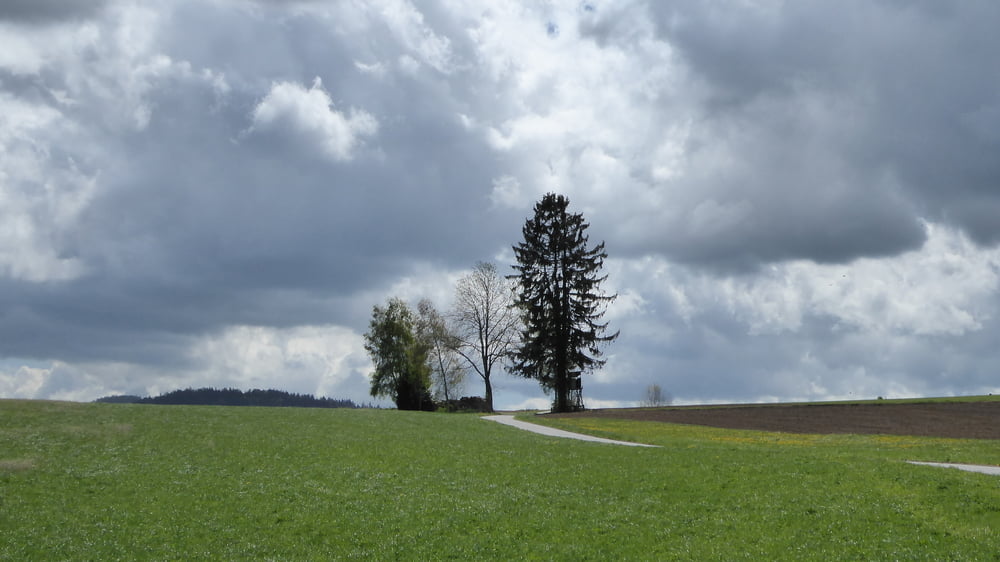
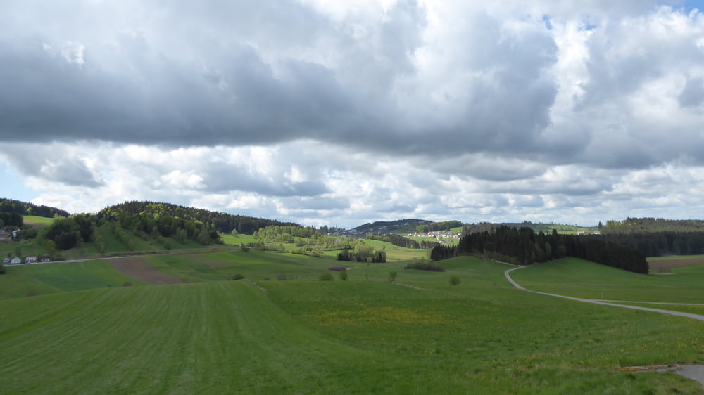
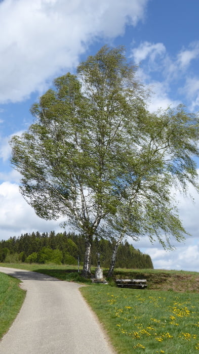
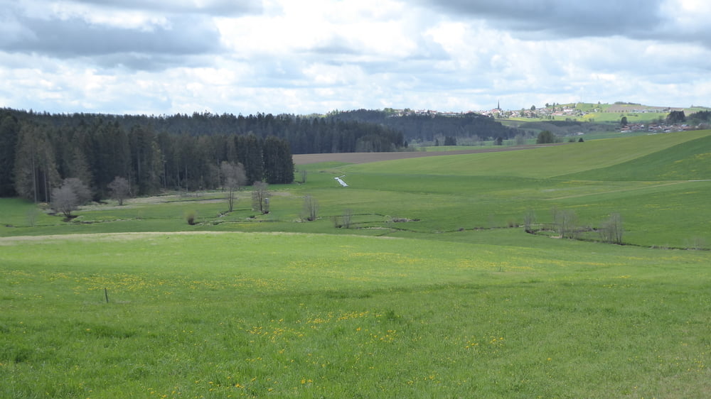
Tour gallery

Tour map and elevation profile

  • Open Street Map
  • Google
Minimum height 638 m Maximum height 749 m Detailed view

More about the tour author

Hoar
Member since 2009

Send private message

Comments

GPS tracks

Trackpoints
  • GPX / Garmin Map Source (gpx) download
  • TCX / Garmin Training Center® (tcx) download
  • CRS / Garmin Training Center® (crs) download
  • Google Earth (kml) download
  • G7ToWin (g7t) download
  • TTQV (trk) download
  • Overlay (ovl) download
  • Fugawi (txt) download
  • Kompass (DAV) Track (tk) download
  • Track data sheet (pdf) download
  • Original file of the author (gpx) download

More about the tour author

Hoar
Member since 2009

Send private message
Share track
Add to my favorites
Remove from my favorites
Edit tags
My score
Rate
Track: Nebelberger Rundweg
Type: Hiking
Distance: 13,0 km
Evaluated on:
Duration:
Day(s)
Hour(s)
Minute(s)
Score: Landscape Fun factor Fitness Technique