Login

Forgot your login?

Cookies have to be accepted!
Your browser's cookie functionality is disabled. Please enable this functionality.

Not a member yet?

Register now
Login

Available for registred users only

Log in to use this feature.

Forgot your login?

Cookies have to be accepted!
Your browser's cookie functionality is disabled. Please enable this functionality.

Not a member yet?

Register now
Filter
Categories
Advanced filters
  • Distance (km)
  • Height
Save filters Reset filter

TrackRank

QRCode

Technical data

Distance32,2 km Height896 m Way down891 m Duration03:00 h:m Date10.05.2020
Scores Author Landscape Fun factor Fitness Technique

Statistics

146 Views Scores 8 Downloads Average
Rate
  • Track data sheet
  • Directions
  • Downloads

Start der Tour ist in Purkersdorf in der Süßfeldstraße.

Die Tour verläuft hauptsächlich auf MTB-Strecken und Wanderwege.

Vom Startpunkt geht es nach Baunzen, wo die umrundung des Roppersberg beginnt.

Über den Dreihufeisenberg, vorbei am Labber Tor, durch Heimbautal nach Neu Purkersdorf wo der Anstieg auf den Troppberg beginnt.

Vom Troppberg geht es durch Gablitz zurück nach Purkersdorf.
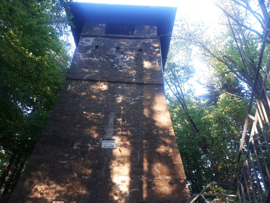


Tour gallery

Tour map and elevation profile

  • Open Street Map
  • Google
Minimum height 251 m Maximum height 553 m Detailed view

More about the tour author

kersti
Member since 2012

Send private message

Comments

Parkmöglichkeiten in der Süßfeldstraße

GPS tracks

Trackpoints
  • GPX / Garmin Map Source (gpx) download
  • TCX / Garmin Training Center® (tcx) download
  • CRS / Garmin Training Center® (crs) download
  • Google Earth (kml) download
  • G7ToWin (g7t) download
  • TTQV (trk) download
  • Overlay (ovl) download
  • Fugawi (txt) download
  • Kompass (DAV) Track (tk) download
  • Track data sheet (pdf) download
  • Original file of the author (gpx) download

More about the tour author

kersti
Member since 2012

Send private message
Share track
Add to my favorites
Remove from my favorites
Edit tags
My score
Rate
Track: Purkersdorf - Roppersberg - Troppberg
Type: Mountain bike
Distance: 32,2 km
Evaluated on:
Duration:
Day(s)
Hour(s)
Minute(s)
Score: Landscape Fun factor Fitness Technique