
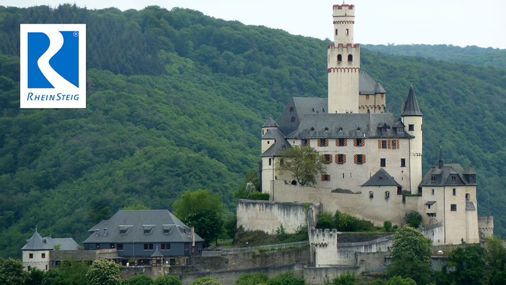

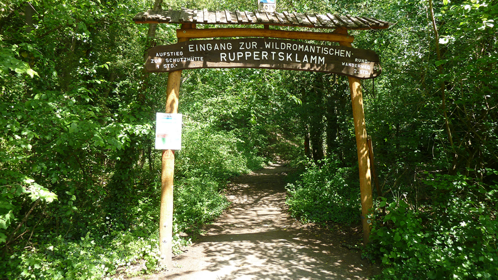
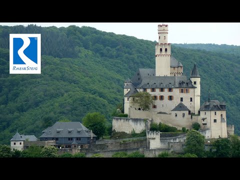
Die weitere Tour führt zu schönen Aussichtspunkten auf den Höhen, und schließlich wildromantisch mit einer Klettertour durch die Ruppertsklamm. Dieser spannende Abschnitt zählt zu den Highlights auf dem Rheinsteig. Anschließend geht es bergauf nach "Lahnstein auf der Höhe" mit dem Kurpark. Durch das Schliebachtal kommt man zum Fladenberg mit einer spannenden Kraxelpassage. Von der Kerkertser Platte sieht man schon das Etappenziel Braubach mit der hoch darüber thronenden Marksburg.
Tour gallery
Tour map and elevation profile
Minimum height 99999 m
Maximum height -99999 m
More about the tour author
|
|
schleidy |
Comments

GPS tracks
Trackpoints-
GPX / Garmin Map Source (gpx) download
-
TCX / Garmin Training Center® (tcx) download
-
CRS / Garmin Training Center® (crs) download
-
Google Earth (kml) download
-
G7ToWin (g7t) download
-
TTQV (trk) download
-
Overlay (ovl) download
-
Fugawi (txt) download
-
Kompass (DAV) Track (tk) download
-
Track data sheet (pdf) download
-
Original file of the author (gpx) download
More about the tour author
|
|
schleidy |
Add to my favorites
Remove from my favorites
Edit tags
Open track
My score
Rate