


Start- und Ziel ist die Touristinformation in Oberhof/Thüringen.
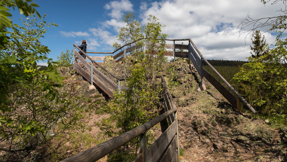
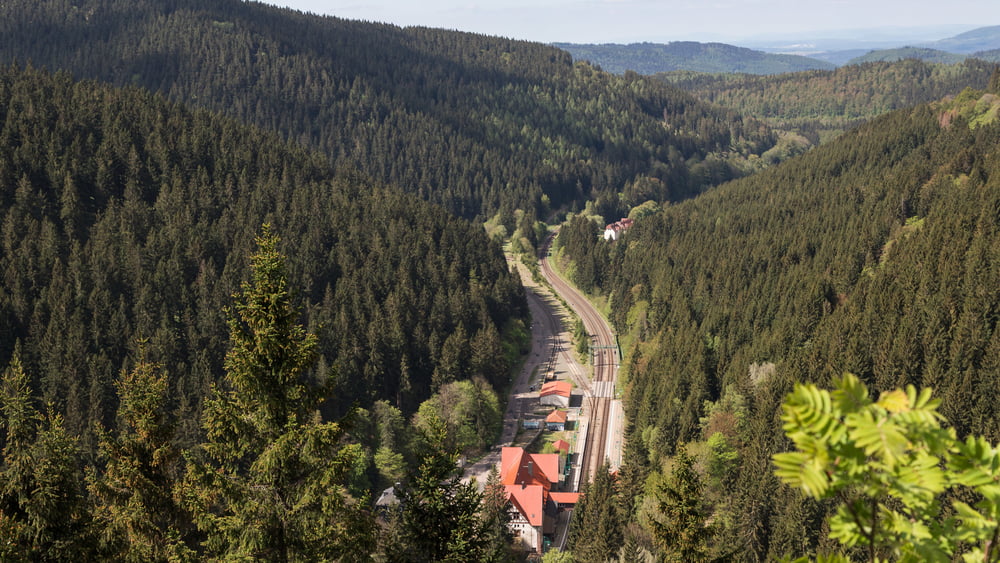
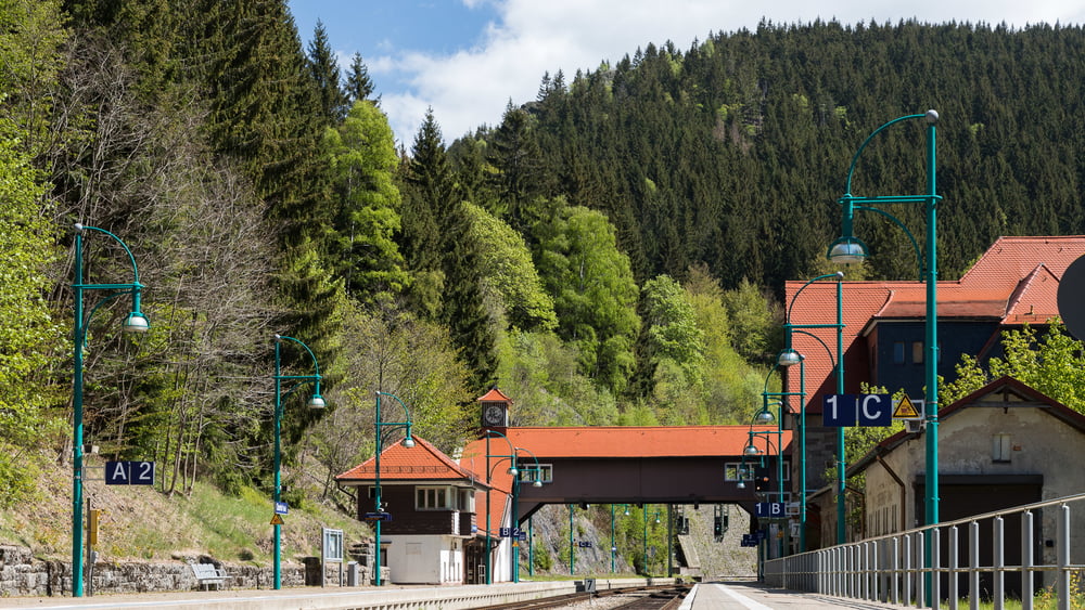
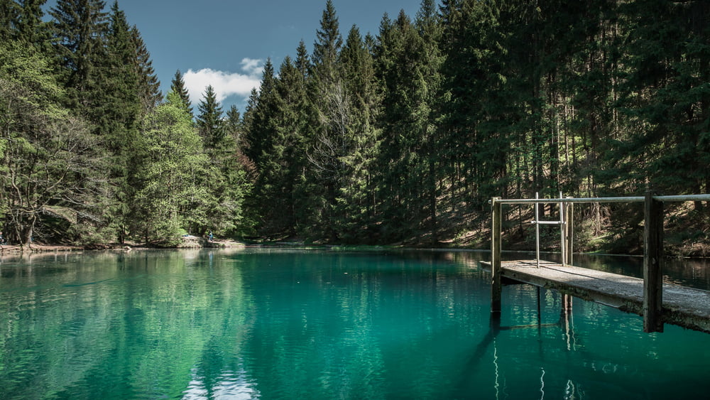
Die Wanderung führt über des Rondell, am Rennsteiggarten vorbei, zum Aussichtspunkt Bärenstein, vorbei am Bahnhof Oberhof über den Pfanntalsteich zurück nach Oberhof.
Landschaftlich wunderschön gelegen im Thüringer Wald.
Tour gallery
Tour map and elevation profile
Minimum height 643 m
Maximum height 829 m
More about the tour author

|
StefanEic |
Comments

Oberhof ist über die A71, A4 und B247 erreichbar.
Es gibt auch eine Bahnanbindung. Allerdings ist der Bahnhof ca. 4Km vom Ortszentrum entfernt.
GPS tracks
Trackpoints-
GPX / Garmin Map Source (gpx) download
-
TCX / Garmin Training Center® (tcx) download
-
CRS / Garmin Training Center® (crs) download
-
Google Earth (kml) download
-
G7ToWin (g7t) download
-
TTQV (trk) download
-
Overlay (ovl) download
-
Fugawi (txt) download
-
Kompass (DAV) Track (tk) download
-
Track data sheet (pdf) download
-
Original file of the author (gpx) download
More about the tour author
|
|
StefanEic |
Add to my favorites
Remove from my favorites
Edit tags
Open track
My score
Rate