

- Rundkurs im Uhrzeigersinn.
- Start/Ziel: Tscherms
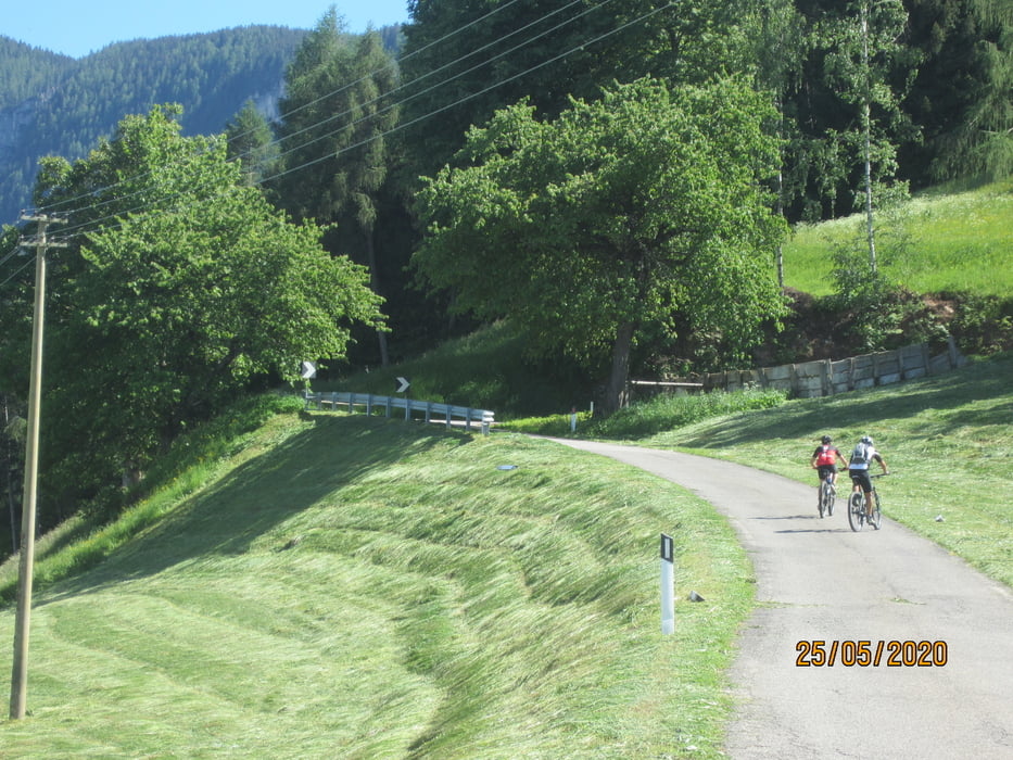
- Von Tscherms auf asfaltierten Nebenwegen nach Nals (KM 12,2-MH. 303).
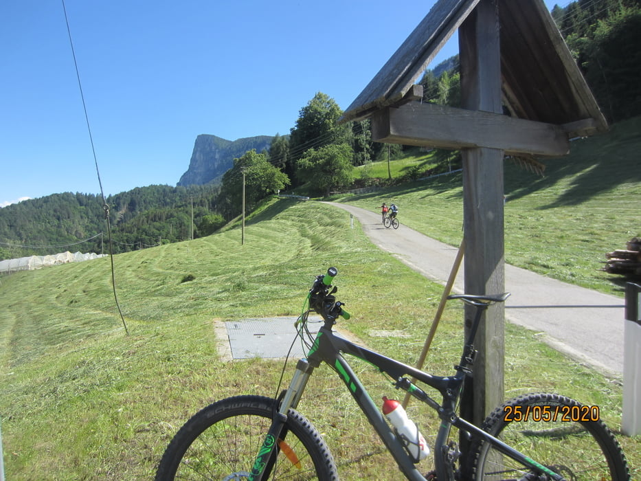
- Weiter auf kaum befahrener Strasse (mittelsteil/mittelsteil+) an Sirmian vorbei zum Apollonia-Kirchlein(2 Gasthöfe)(KM 17,99-MH 917).Weiter bis zum höchsten Punkt der Tour (KM 18,90 - MH 1.015).
- Kurze Abfahrt durch eine Wiese (Fussweg). Weiter auf einem Weg/breitem Steig nach Grissian(Gasthof Schmiedlhof)(KM 22,4 - MH 835).
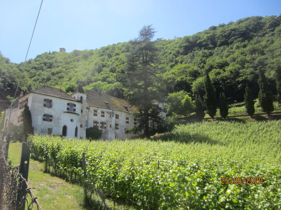
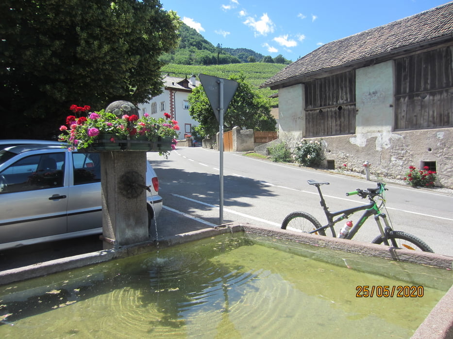
- Abfahrt auf Asfalt nach Prissian, Tisens. Nach Tisens über eine Brücke aus der Römerzeit vorbei am Gasthof " Untere Talmühle" nach Völlan.
- Oberhalb von Völlan auf dem "Kastanienweg", vorbei an Helmsdorf auf einer etwas steilen,aber kurzen Asfaltstrasse ins Tal nach Lana.
- Von dort auf einem leicht erhöhten Weg, nach Tscherms, zum Ausgangspunkt
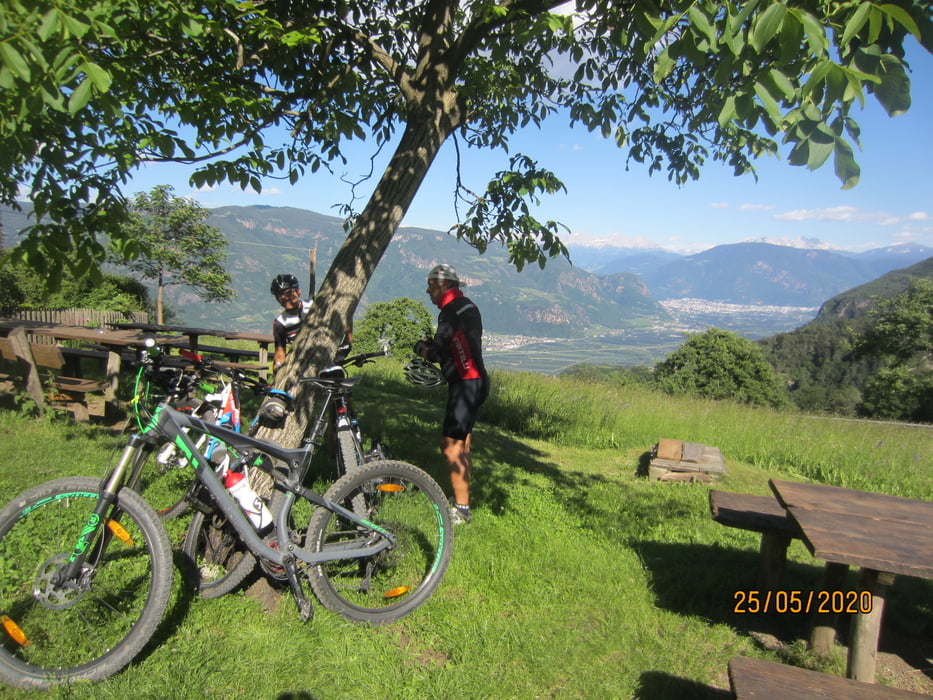
Tour gallery

Tour map and elevation profile
Minimum height 256 m
Maximum height 1036 m
More about the tour author
|
|
MargesinFriedrich |
Comments

GPS tracks
Trackpoints-
GPX / Garmin Map Source (gpx) download
-
TCX / Garmin Training Center® (tcx) download
-
CRS / Garmin Training Center® (crs) download
-
Google Earth (kml) download
-
G7ToWin (g7t) download
-
TTQV (trk) download
-
Overlay (ovl) download
-
Fugawi (txt) download
-
Kompass (DAV) Track (tk) download
-
Track data sheet (pdf) download
-
Original file of the author (gpx) download
More about the tour author
|
|
MargesinFriedrich |
Add to my favorites
Remove from my favorites
Edit tags
Open track
My score
Rate