


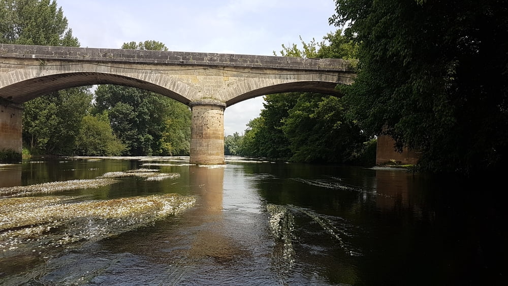
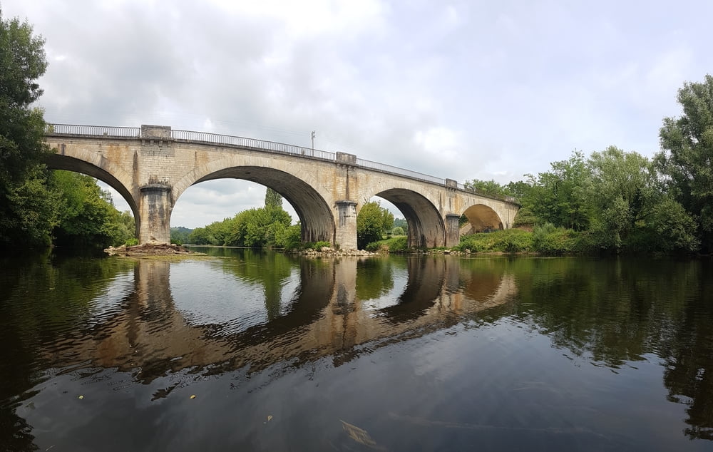
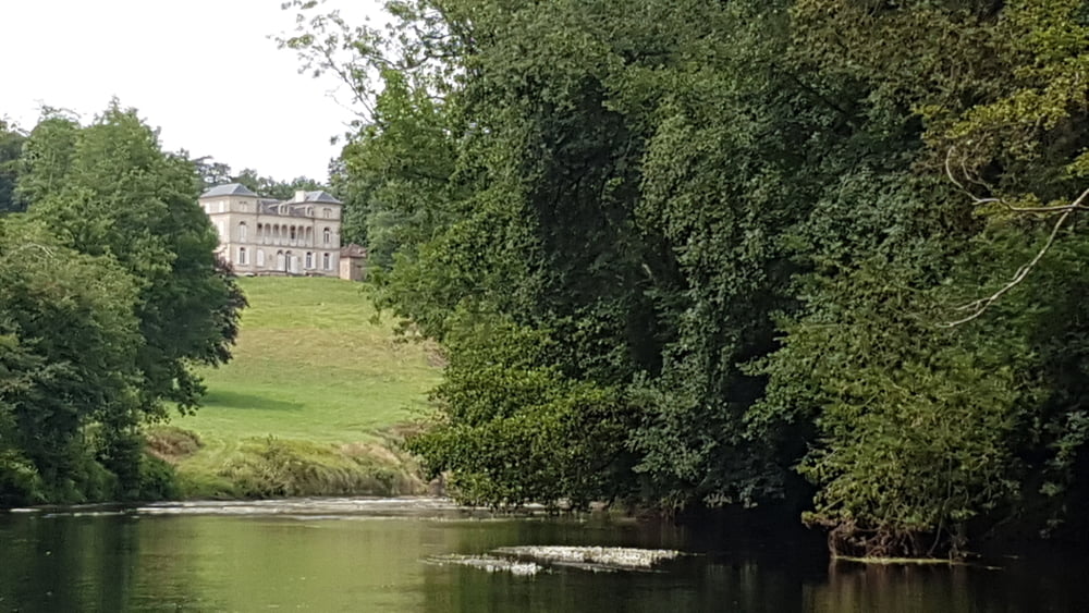
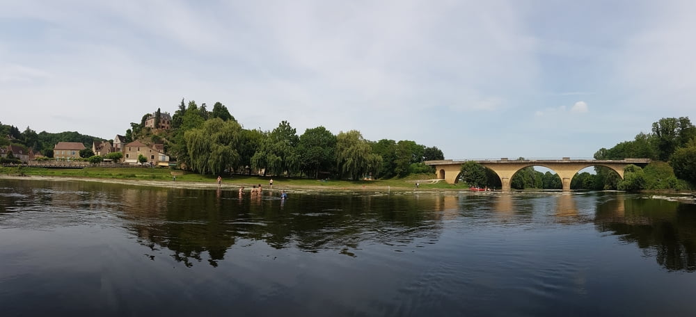
Die Vézère ist ein Fluss im Südwesten Frankreis, der in der Region Nouvelle-Aquitaine verläuft und bei Limeuil in die Dordogne mündet. Der Fluss hat keine größeren Schwierigskeitsgrade und meandert in großen Schleifen als Zahmwasser dahin. Oft ist die Strecke eingerahmt von hohen Baumbeständen, die die schöne Landschaft auf weiten Teilen nur erahnen lassen.
Further information at
https://de.wikipedia.org/wiki/V%C3%A9z%C3%A8reTour gallery
Tour map and elevation profile
Minimum height 42 m
Maximum height 77 m
More about the tour author
|
|
riemchens |
Comments

Von Limeuil aus nach Le Buque und vorn dort aus auf der D703 nach Champange zum Einsatzpunkt am Fluss.
GPS tracks
Trackpoints-
GPX / Garmin Map Source (gpx) download
-
TCX / Garmin Training Center® (tcx) download
-
CRS / Garmin Training Center® (crs) download
-
Google Earth (kml) download
-
G7ToWin (g7t) download
-
TTQV (trk) download
-
Overlay (ovl) download
-
Fugawi (txt) download
-
Kompass (DAV) Track (tk) download
-
Track data sheet (pdf) download
-
Original file of the author (gpx) download
More about the tour author
|
|
riemchens |
Add to my favorites
Remove from my favorites
Edit tags
Open track
My score
Rate