Login

Forgot your login?

Cookies have to be accepted!
Your browser's cookie functionality is disabled. Please enable this functionality.

Not a member yet?

Register now
Login

Available for registred users only

Log in to use this feature.

Forgot your login?

Cookies have to be accepted!
Your browser's cookie functionality is disabled. Please enable this functionality.

Not a member yet?

Register now
Filter
Categories
Advanced filters
  • Distance (km)
  • Height
Save filters Reset filter

TrackRank

QRCode

Technical data

Distance8,8 km Height248 m Way down255 m Duration03:00 h:m Date04.06.2020
Scores Author Landscape Fun factor Fitness Technique

Statistics

131 Views Scores 2 Downloads Average
Rate
  • Track data sheet
  • Directions
  • Downloads
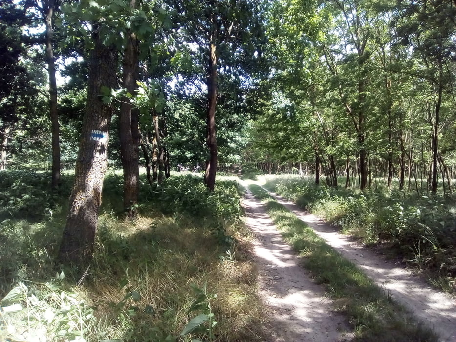
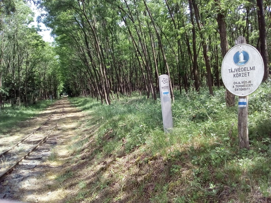
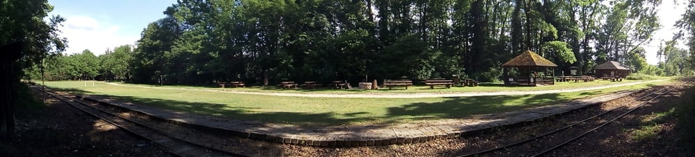
 Későn érkeztem Mesztegnyőre, így csak egy rövidebb szakaszra futotta. Nagyon szép helyeken halad a kisvasút, érdemes lenne csak ezért is idáig eljönni. Este Felsőkak pihenőjénél aludtam, sajnos a kútra ki van téve a "Nem ivóvíz" tábla.

Tour gallery

Tour map and elevation profile

  • Open Street Map
  • Google
Minimum height 96 m Maximum height 182 m Detailed view

More about the tour author

frontera74
Member since 2011

Send private message

Comments

Busszal Mesztegnyőig.

GPS tracks

Trackpoints
  • GPX / Garmin Map Source (gpx) download
  • TCX / Garmin Training Center® (tcx) download
  • CRS / Garmin Training Center® (crs) download
  • Google Earth (kml) download
  • G7ToWin (g7t) download
  • TTQV (trk) download
  • Overlay (ovl) download
  • Fugawi (txt) download
  • Kompass (DAV) Track (tk) download
  • Track data sheet (pdf) download
  • Original file of the author (gpx) download

More about the tour author

frontera74
Member since 2011

Send private message
Share track
Add to my favorites
Remove from my favorites
Edit tags
My score
Rate
Track: DDK Mesztegnyő - Felsőkak
Type: Hiking
Distance: 8,8 km
Evaluated on:
Duration:
Day(s)
Hour(s)
Minute(s)
Score: Landscape Fun factor Fitness Technique