


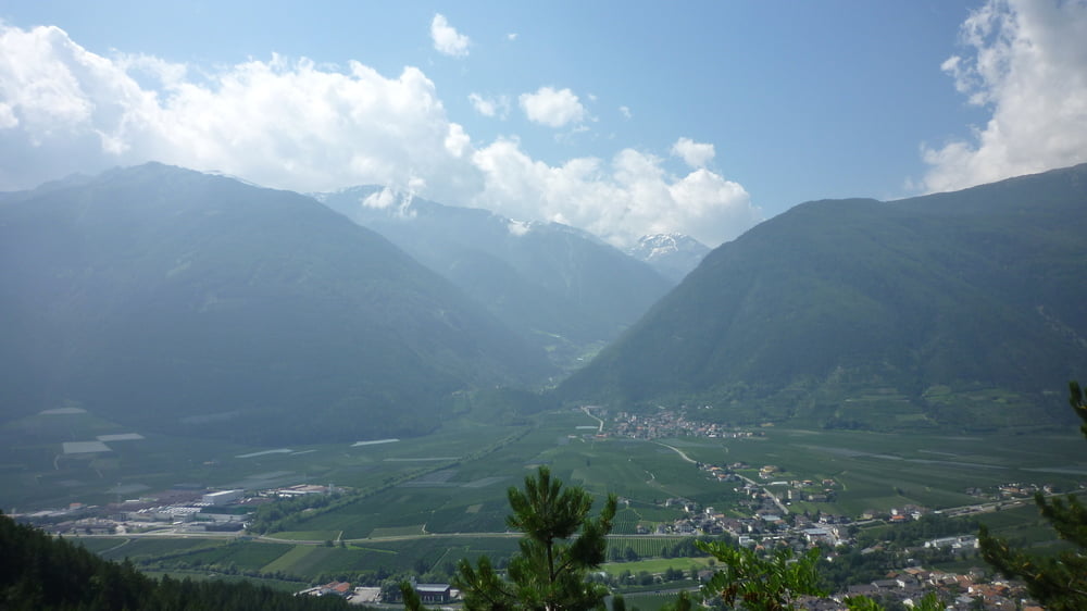
Der Start der Tour ist in Latsch. Der Weg führt dann über asphaltierte Wege nach Goldrain, wo die Auffahrt zum Schloß Annerberg beginnt. Anfänglich weiterhin über Asphalt, dann auf Forststrassen über Schotter bis zum Schloß. Nach dem Schloß geht es noch einige Zeit über Forstwege, teilweise extrem steil bis zum Traileinstieg und der Abfahrt zu den Annerberg Böden. Danach dem Trail bis ins Tal folgen. Vor der Hängebrücke über einen Bergeinschnitt gilt es eine kleine, recht steile Abfahrt über eines Felsplatte zu bewältigen. Danach geht der Trail recht flowig am Abgrund entlang. Im Tal in Goldrain angekommen, kann man in der Bar des Hotels Bamboo den Flüssigkeitshaushalt ausgleichen, bevor es dann zurück zum Ausgangspunkt der Tour geht.
Tour gallery
Tour map and elevation profile
Minimum height 652 m
Maximum height 1152 m
More about the tour author

|
Comments

GPS tracks
Trackpoints-
GPX / Garmin Map Source (gpx) download
-
TCX / Garmin Training Center® (tcx) download
-
CRS / Garmin Training Center® (crs) download
-
Google Earth (kml) download
-
G7ToWin (g7t) download
-
TTQV (trk) download
-
Overlay (ovl) download
-
Fugawi (txt) download
-
Kompass (DAV) Track (tk) download
-
Track data sheet (pdf) download
-
Original file of the author (tcx) download
More about the tour author
|
|
Add to my favorites
Remove from my favorites
Edit tags
Open track
My score
Rate