


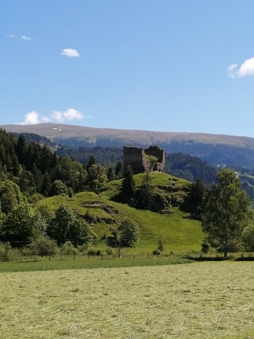
Von St. Marein ein Stück weit auf dem Radweg Richtung Friesach bis zur Abzweigung nach St. Veit in der Gegend. Über Velden, St.Veit, Pörtschach ins Hörfeldmoor, nach Mühlen, entlang des Görtschitzbaches am MU1 nach See, Greith, dort Rechts weiter am MU1 nach Perchau, weiter MU1 entlang der Bundesstrasse bis vor Neumarkt, MU1 Richtung Mariahof. Über den Furtnerteich und Neumarkt zurück nach St. Marein. Landschaftlich wunderschöne Tour!
Tour gallery


Tour map and elevation profile
Minimum height 846 m
Maximum height 1223 m
More about the tour author
|
|
walderich |
Comments

GPS tracks
Trackpoints-
GPX / Garmin Map Source (gpx) download
-
TCX / Garmin Training Center® (tcx) download
-
CRS / Garmin Training Center® (crs) download
-
Google Earth (kml) download
-
G7ToWin (g7t) download
-
TTQV (trk) download
-
Overlay (ovl) download
-
Fugawi (txt) download
-
Kompass (DAV) Track (tk) download
-
Track data sheet (pdf) download
-
Original file of the author (gpx) download
More about the tour author
|
|
walderich |
Add to my favorites
Remove from my favorites
Edit tags
Open track
My score
Rate