Login

Forgotten password?

Cookies have to be accepted!
Your browser's cookie functionality is disabled. Please enable this functionality.

Not a member yet?

Register now
Login

Available for registred users only

Log in to use this feature.

Forgotten password?

Cookies have to be accepted!
Your browser's cookie functionality is disabled. Please enable this functionality.

Not a member yet?

Register now
Filter
Categories
Advanced filters
  • Distance (km)
  • Height
Save filters Reset filter

TrackRank

QRCode

Technical data

Distance9,7 km Height426 m Way down427 m Duration03:10 h:m Date05.07.2019
Scores Author Landscape Fun factor Fitness Technique

Statistics

67 Views Scores 6 Downloads Average
Rate
  • Track data sheet
  • Directions
  • Downloads

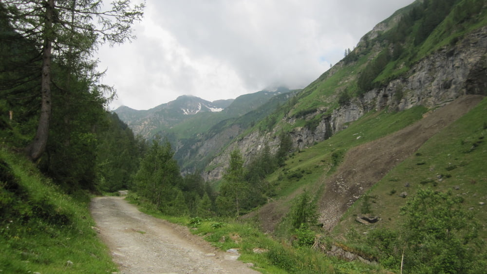
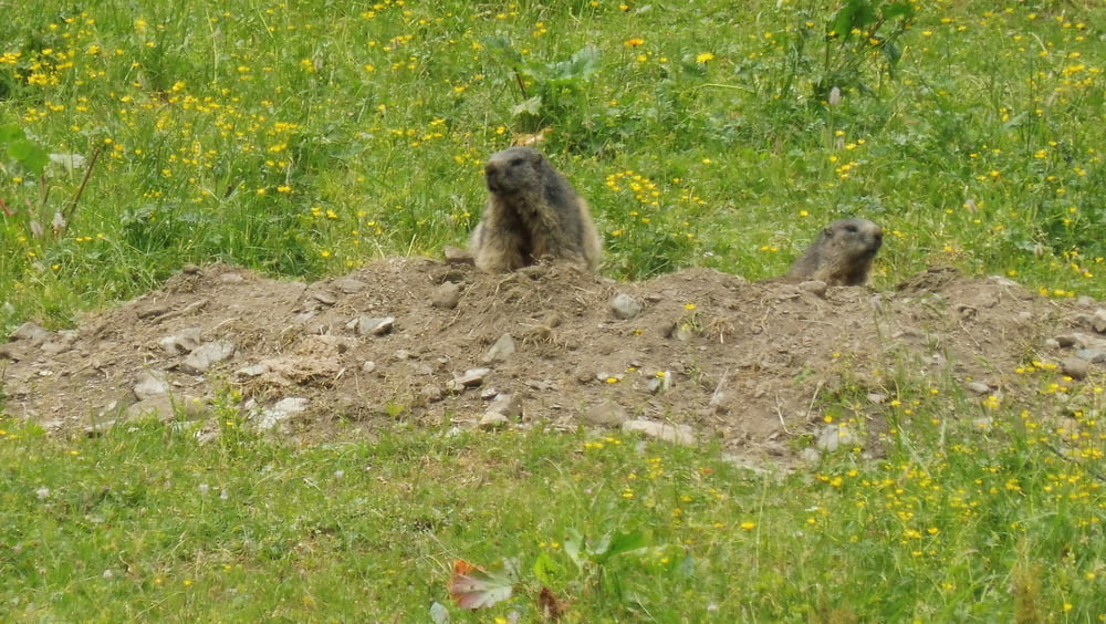
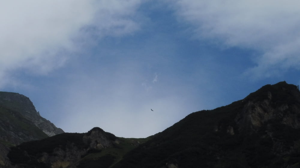
Immer wieder schweift der Blick nach oben um die Greifvögel zu sehen. Dabei sollte man auch die näheren Hanglagen im Auge behalten: Die putzigen Murmeltiere sind allerortens und die ursprüngliche Landschaft ist auch nicht ohne.


INFO: Tourerweiterung zu den Wasserfällen.

Tour gallery

Tour map and elevation profile

  • Open Street Map
  • Google
Minimum height 1177 m Maximum height 1604 m Detailed view

More about the tour author

ejee
Member since 2019

Send private message

Comments

GPS tracks

Trackpoints
  • GPX / Garmin Map Source (gpx) download
  • TCX / Garmin Training Center® (tcx) download
  • CRS / Garmin Training Center® (crs) download
  • Google Earth (kml) download
  • G7ToWin (g7t) download
  • TTQV (trk) download
  • Overlay (ovl) download
  • Fugawi (txt) download
  • Kompass (DAV) Track (tk) download
  • Track data sheet (pdf) download
  • Original file of the author (gpx) download

More about the tour author

ejee
Member since 2019

Send private message
Share track
Add to my favorites
Remove from my favorites
Edit tags
My score
Rate
Track: Im Krumltal - Unter Geiern
Type: Hiking
Distance: 9,7 km
Evaluated on:
Duration:
Day(s)
Hour(s)
Minute(s)
Score: Landscape Fun factor Fitness Technique