
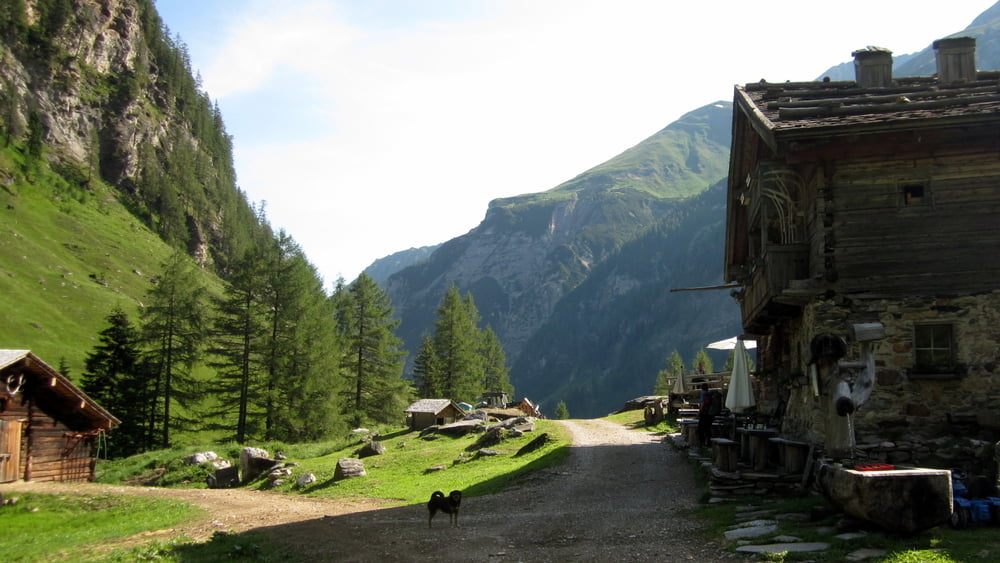

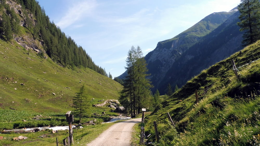
Von Almhütte zu Almhütte im Tal der Säumer und Pilger.
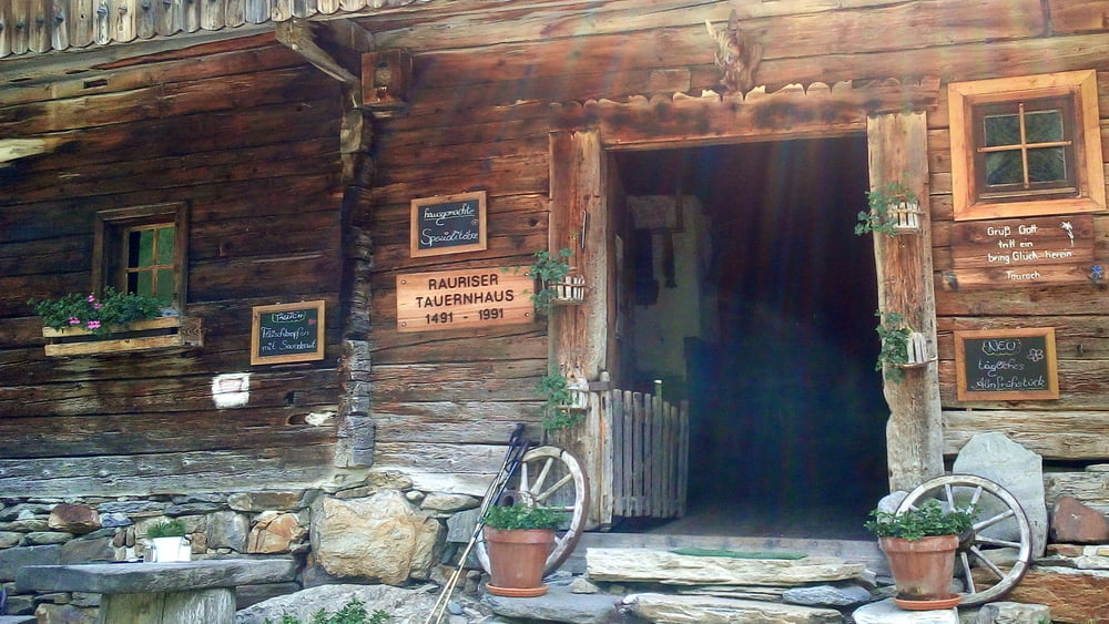
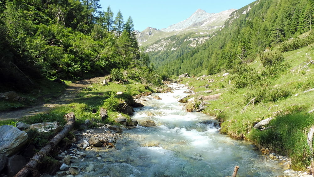
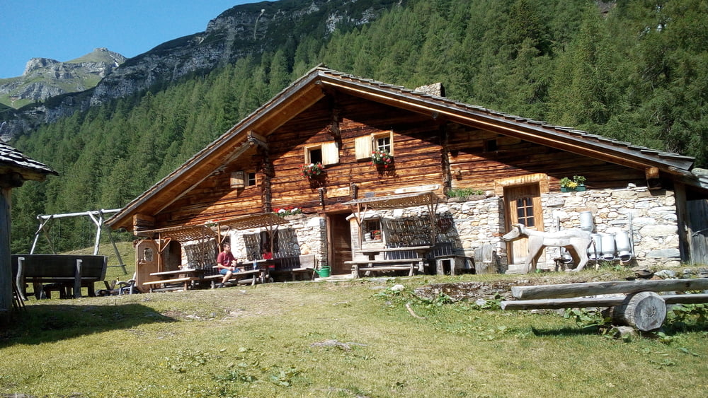
Ausgangspunkt der Tour ist der Parkplatz Fleckweide im Seidlwinkltal. Wir nehmen den Tälerbus bis zum Tauernhaus (Endstation!). Hier beginnt die Wanderung zur Liztlhofalm auf mäßig ansteigendem Weg. Auf der Litzlhofalm angekommen nehmen wir auf der Hausbank platz um die Natur und auch eine Brotzeit zu genießen. Rückweg dann wie Hinweg, jedoch weiter bis zum Ausgangspunkt der Tour, dem Parkplatz Fleckweide.
INFO: Weitere Einkehrmöglichkeiten sind das Tauernhaus, die Palfner- und/oder Gollehenalm. Hier auch jeweils Tälerbushalte um die Tour abzukürzen.
Tour gallery
Tour map and elevation profile
Minimum height 1111 m
Maximum height 1725 m
More about the tour author

|
ejee |
Comments

GPS tracks
Trackpoints-
GPX / Garmin Map Source (gpx) download
-
TCX / Garmin Training Center® (tcx) download
-
CRS / Garmin Training Center® (crs) download
-
Google Earth (kml) download
-
G7ToWin (g7t) download
-
TTQV (trk) download
-
Overlay (ovl) download
-
Fugawi (txt) download
-
Kompass (DAV) Track (tk) download
-
Track data sheet (pdf) download
-
Original file of the author (gpx) download
More about the tour author
|
|
ejee |
Add to my favorites
Remove from my favorites
Edit tags
Open track
My score
Rate