


Paddeltour im Unteren Spreewald
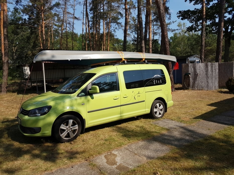
Startposition ist der Wasser-Parkplatz in Groß Wasserburg. Hier kann man günstig das Auto parken (Tagesticket 5€). Das Boot tragen wir über die Straße und setzen es ein.
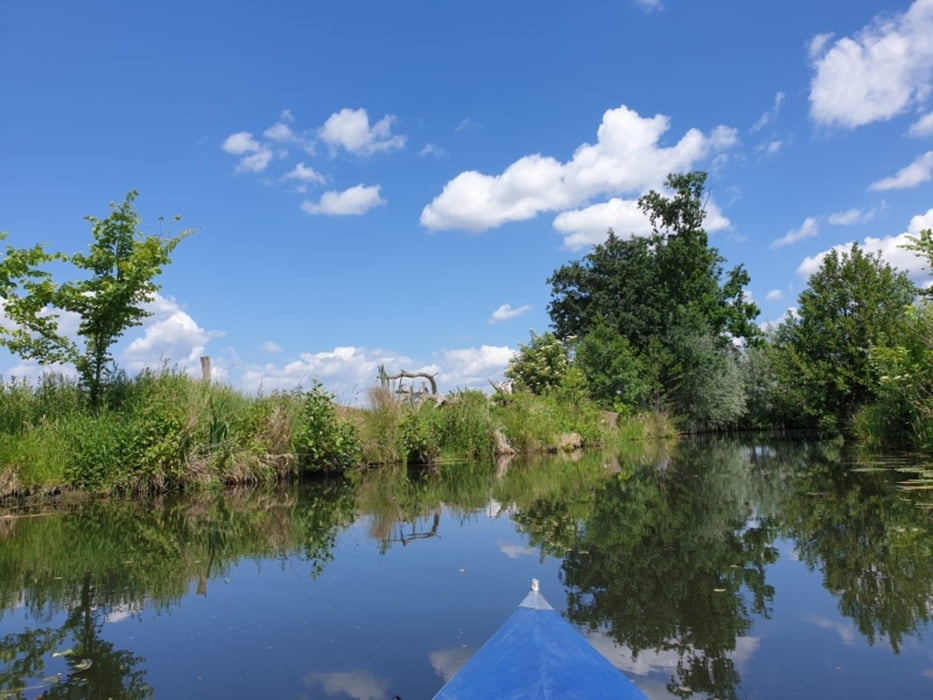
Auf der Wasserburger Spree geht es Richtung Leibsch. Über die Pfahlspree, Langes Horstfließ geht es auf den Puhlstrom. Kurz vor Leibsch biegen wir auf die Hauptspree und fahren Richtung Schlepzig. Wichtig, dass mann den Abzweig ins Zernaisfließ nicht verpasst.
Wir passieren den Aussichtsturm Wussegk und fahren in die Quaasspree rein. Auf dem Puhlstrom geht es zurück nach Wasserburg.
Fazit:
Herrliche Paddeltour im Unteren Spreewald, der mit Sicherheit nicht so touristisch überlaufen ist, wie der Spreewald bei Lübbenau.
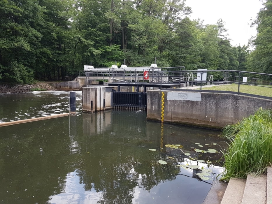
Das Schleusen stellte kein Problem dar.
## jederzeit wieder ##
Tour gallery
Tour map and elevation profile
Minimum height 42 m
Maximum height 60 m
More about the tour author
|
|
Stummi |
Comments

GPS tracks
Trackpoints-
GPX / Garmin Map Source (gpx) download
-
TCX / Garmin Training Center® (tcx) download
-
CRS / Garmin Training Center® (crs) download
-
Google Earth (kml) download
-
G7ToWin (g7t) download
-
TTQV (trk) download
-
Overlay (ovl) download
-
Fugawi (txt) download
-
Kompass (DAV) Track (tk) download
-
Track data sheet (pdf) download
-
Original file of the author (gpx) download
More about the tour author
|
|
Stummi |
Add to my favorites
Remove from my favorites
Edit tags
Open track
My score
Rate