Login

Forgot your login?

Cookies have to be accepted!
Your browser's cookie functionality is disabled. Please enable this functionality.

Not a member yet?

Register now
Login

Available for registred users only

Log in to use this feature.

Forgot your login?

Cookies have to be accepted!
Your browser's cookie functionality is disabled. Please enable this functionality.

Not a member yet?

Register now
Filter
Categories
Advanced filters
  • Distance (km)
  • Height
Save filters Reset filter

TrackRank

QRCode

Technical data

Distance43,8 km Height1569 m Way down1575 m Duration09:00 h:m Date21.06.2020
Scores Author Landscape Fun factor Fitness Technique

Statistics

117 Views Scores 2 Downloads Average
Rate
  • Track data sheet
  • Directions
  • Downloads
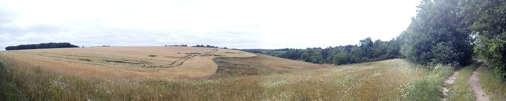
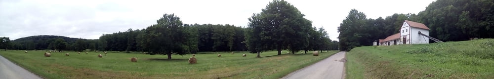
 Zselici DDK első napja. Vízzel és minden egyébbel jobb felkészülni, szinte már sehol sincs bolt, nyomókút, kocsma. Én is a Pölöskei forrásnál tudtam feltölteni a tartályomat, 31 km után.

Tour gallery

Tour map and elevation profile

  • Open Street Map
  • Google
Minimum height 94 m Maximum height 404 m Detailed view

More about the tour author

frontera74
Member since 2011

Send private message

Comments

Vonattal és busszal Kaposmérőre, Gálosfára busszal.

GPS tracks

Trackpoints
  • GPX / Garmin Map Source (gpx) download
  • TCX / Garmin Training Center® (tcx) download
  • CRS / Garmin Training Center® (crs) download
  • Google Earth (kml) download
  • G7ToWin (g7t) download
  • TTQV (trk) download
  • Overlay (ovl) download
  • Fugawi (txt) download
  • Kompass (DAV) Track (tk) download
  • Track data sheet (pdf) download
  • Original file of the author (gpx) download

More about the tour author

frontera74
Member since 2011

Send private message
Share track
Add to my favorites
Remove from my favorites
Edit tags
My score
Rate
Track: DDK Kaposmérő- Gálosfa
Type: Hiking
Distance: 43,8 km
Evaluated on:
Duration:
Day(s)
Hour(s)
Minute(s)
Score: Landscape Fun factor Fitness Technique