Login

Forgotten password?

Cookies have to be accepted!
Your browser's cookie functionality is disabled. Please enable this functionality.

Not a member yet?

Register now
Login

Available for registred users only

Log in to use this feature.

Forgotten password?

Cookies have to be accepted!
Your browser's cookie functionality is disabled. Please enable this functionality.

Not a member yet?

Register now
Filter
Categories
Advanced filters
  • Distance (km)
  • Height
Save filters Reset filter

TrackRank

QRCode

Technical data

Distance89,1 km Height1596 m Way down1598 m Duration00:00 h:m Date28.06.2020
Scores Author Landscape Fun factor Fitness Technique

Statistics

80 Views Scores 7 Downloads Average
Rate
  • Track data sheet
  • Directions
  • Downloads
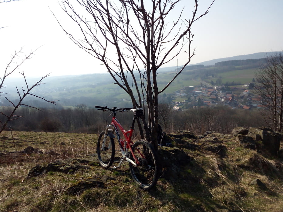
Technisch einfache Tour vom Kinzigtal in den Vogelsberg zum Ernstberg (Stichweg zum Aussichtspunkt unbedingt anfahren) und Herchenhainer Höhe. Zurück am Obermooser See vorbei durch den Rabensteiner Grund ins Kinzigtal Die Tour kann man problemlos auch mit dem Touren- oder Gravelrad machen.

Tour map and elevation profile

  • Open Street Map
  • Google
Minimum height 125 m Maximum height 743 m Detailed view

More about the tour author

cbrreinhard
Member since 2010

Send private message

Comments

GPS tracks

Trackpoints
  • GPX / Garmin Map Source (gpx) download
  • TCX / Garmin Training Center® (tcx) download
  • CRS / Garmin Training Center® (crs) download
  • Google Earth (kml) download
  • G7ToWin (g7t) download
  • TTQV (trk) download
  • Overlay (ovl) download
  • Fugawi (txt) download
  • Kompass (DAV) Track (tk) download
  • Track data sheet (pdf) download
  • Original file of the author (gpx) download

More about the tour author

cbrreinhard
Member since 2010

Send private message
Share track
Add to my favorites
Remove from my favorites
Edit tags
My score
Rate
Track: GN-Ernstberg--Herchenhainer Höhe-GN
Type: Mountain bike
Distance: 89,1 km
Evaluated on:
Duration:
Day(s)
Hour(s)
Minute(s)
Score: Landscape Fun factor Fitness Technique