


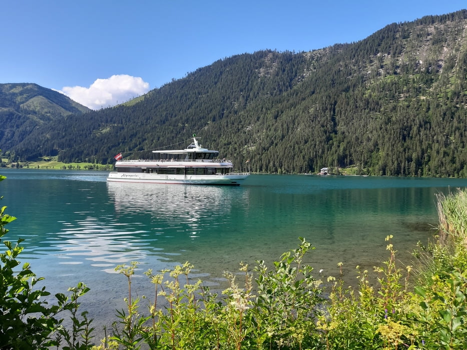
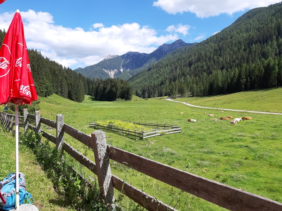
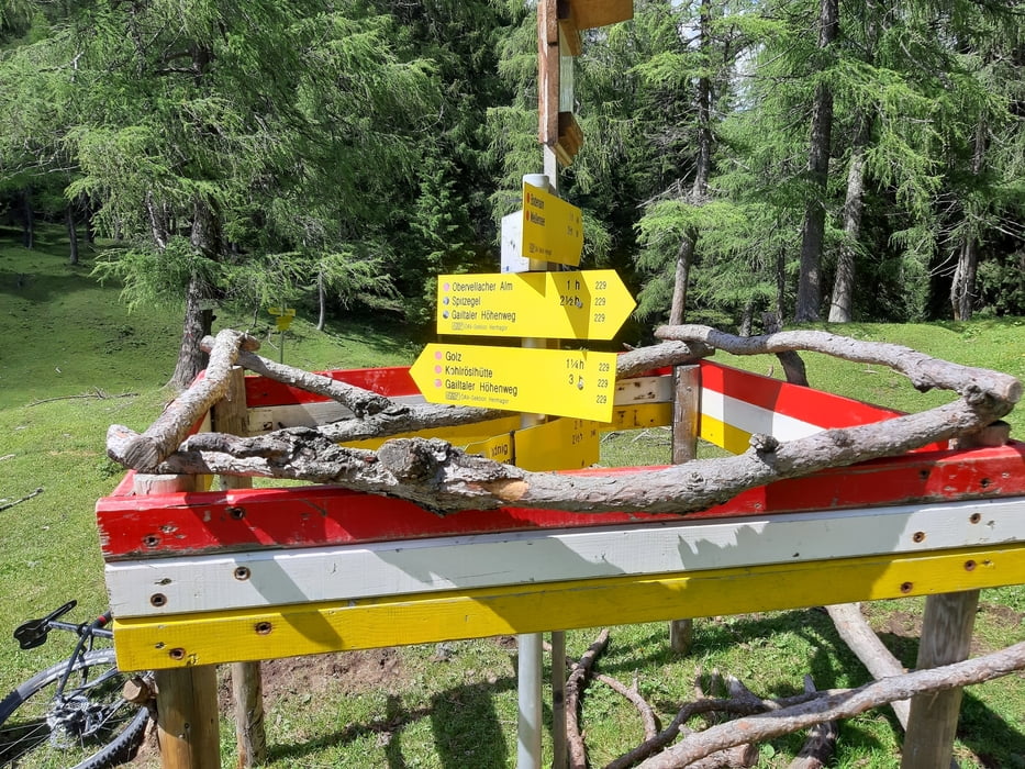
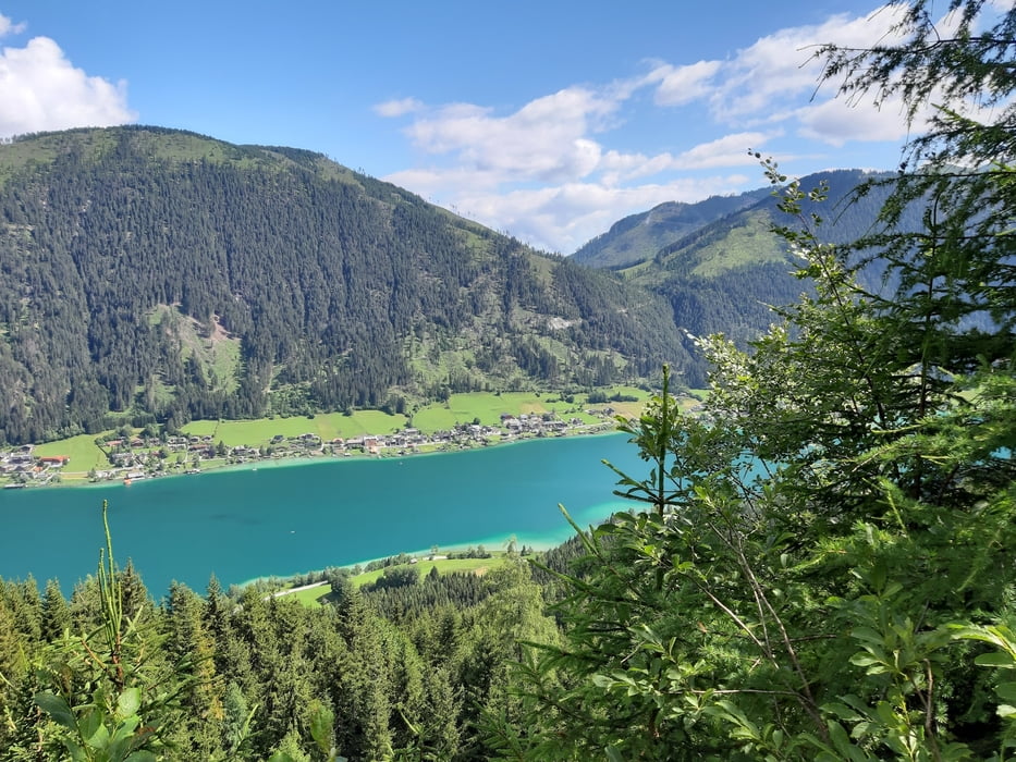
Start in Gatschach, auf die Naggler Alm, bei der Jadersdorfer Alm rechts hinunter. Da gibt es einen neu angelegten, schönen Schotterweg. Weiter unten kommt dann noch ein kurzer schwieriger trail bis man wieder auf einen Forstweg trifft. Beim wunderbaren Wasserfall wieder ein trail. Rauf zur Radniger Alm auf einem schönen Schotterweg, bei diesmal angenehm kühlen Temperaturen. Runter zur Bodenalm gibt es einen teils schwierigen trail, wo ich dann auch schiebe. Bei der Bodenalm bin ich eingekehrt. Runter zum See gehts flott dahin. Am Paterzipf gönne ich mir ein gepflegtes Bad. Dann noch gemütlich zum Ausgangspunkt am See entlang rollen.
Tour gallery
Tour map and elevation profile
Minimum height 753 m
Maximum height 1557 m
More about the tour author
|
|
mitter |
Comments

Start in Gatschach.
GPS tracks
Trackpoints-
GPX / Garmin Map Source (gpx) download
-
TCX / Garmin Training Center® (tcx) download
-
CRS / Garmin Training Center® (crs) download
-
Google Earth (kml) download
-
G7ToWin (g7t) download
-
TTQV (trk) download
-
Overlay (ovl) download
-
Fugawi (txt) download
-
Kompass (DAV) Track (tk) download
-
Track data sheet (pdf) download
-
Original file of the author (gpx) download
More about the tour author
|
|
mitter |
Add to my favorites
Remove from my favorites
Edit tags
Open track
My score
Rate