
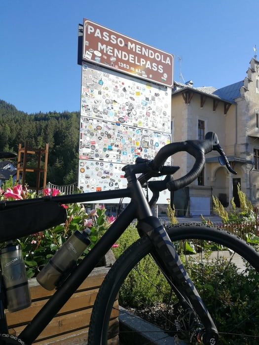

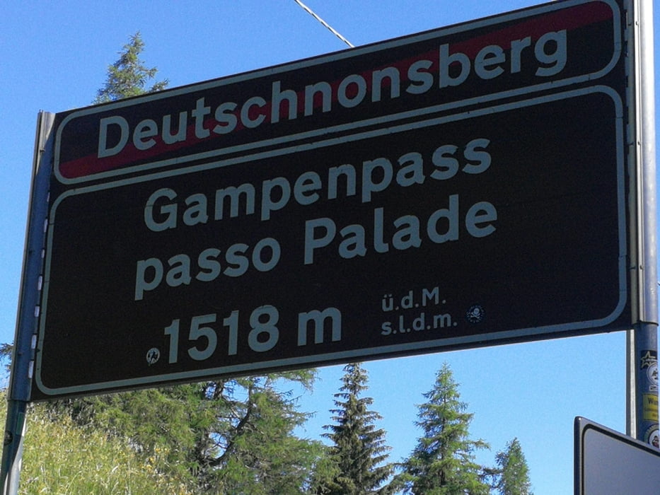
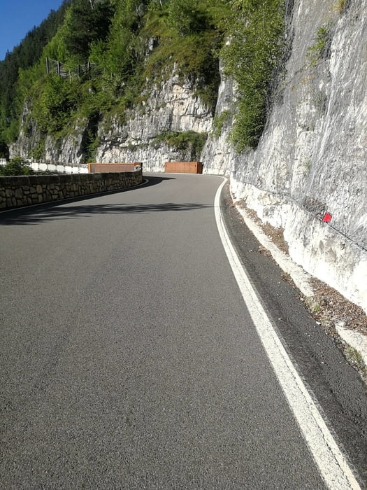
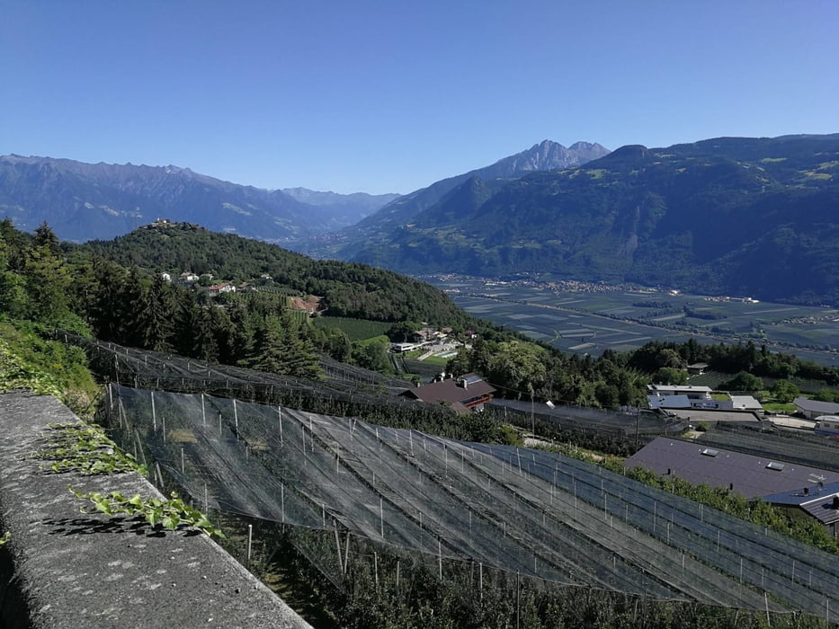
Gestartet in Lana geht es auf den Etschtalradweg Richtung Bozen. Bei Bozen rechts abbiegen und der Beschilderung Mendelpass folgen. ..Das Klettern kann beginnen... Landschaftlich ein Traum ..Auto und Motorradfahrer können nerven..Oben angekommen auf dem Mendelpass gibt es die Option noch einen Abstecher auf den Penegale zu machen ...Es geht Bergab .. nicht lang aber erholsam.. Der Gampenpass nimmt noch mal richtig die letzten Kräfte..bevor es in die Abfahrt ins Tal geht. Achtung.. Tunnel mit Kopfsteinpflaster .. Teilweise schwierige Strassenbeläge in der Abfahrt.. (Schlaglöcher..)
Tour gallery

Tour map and elevation profile
Minimum height 238 m
Maximum height 1534 m
More about the tour author

|
m1000freund |
Comments

GPS tracks
Trackpoints-
GPX / Garmin Map Source (gpx) download
-
TCX / Garmin Training Center® (tcx) download
-
CRS / Garmin Training Center® (crs) download
-
Google Earth (kml) download
-
G7ToWin (g7t) download
-
TTQV (trk) download
-
Overlay (ovl) download
-
Fugawi (txt) download
-
Kompass (DAV) Track (tk) download
-
Track data sheet (pdf) download
-
Original file of the author (gpx) download
More about the tour author
|
|
m1000freund |
Add to my favorites
Remove from my favorites
Edit tags
Open track
My score
Rate