


Feistritz a.d. Gail-Feistritzer Alm-Rif. Nordio-Gh Starhand-
Poludnig Alm-Dellacher Alm-Koutschitz Alm-Vorderberg-
Feistritz
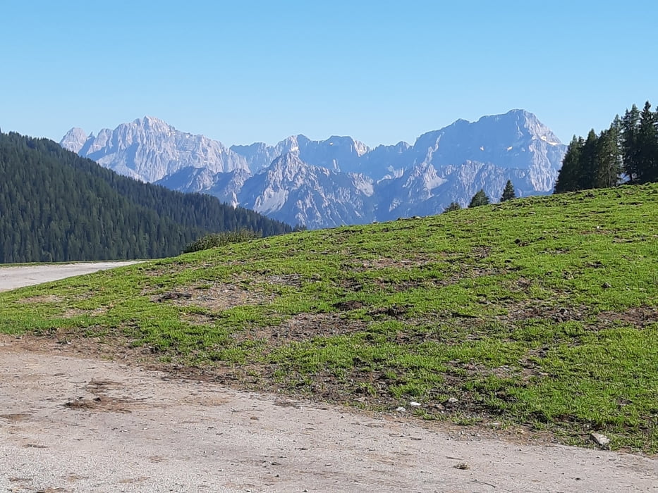
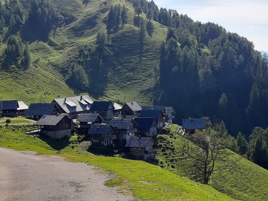
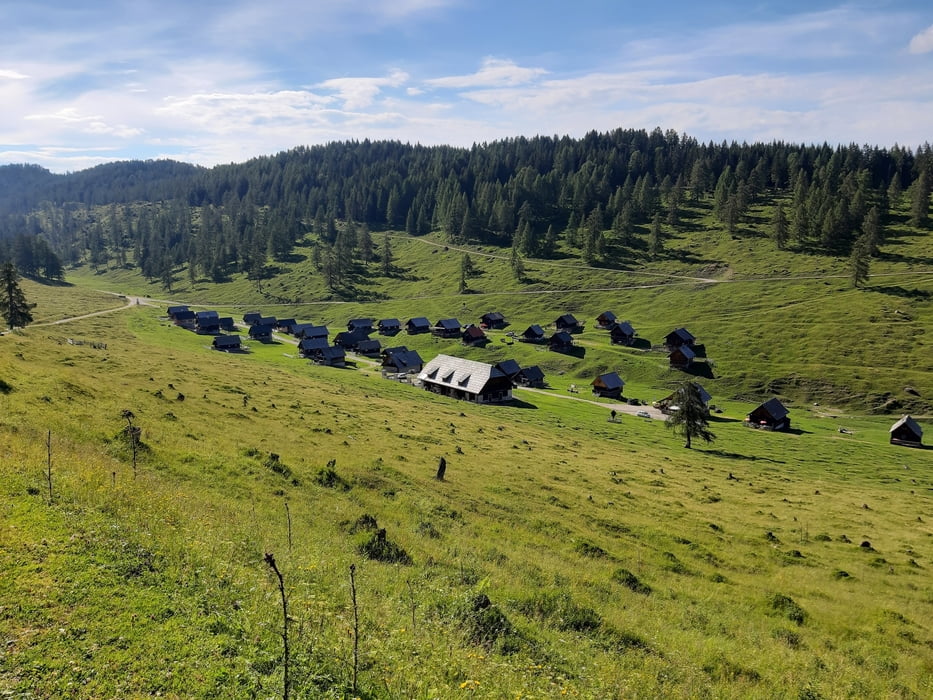
Zur Feistritzer Alm führt ein teils sehr steiler, aber gut zu fahrender Forstweg. Vor dem Rif Nordio hab ich ein kurzes Stück geschoben. Nachher geht’s zunächst auf einer geteerten Straße in mäßiger Steigung Richtung Dellacher Alm. Kurz vor der Alm bin ich links abgebogen, um etwas später auf den offiziellen MTB Weg zur Poludnig Alm zu gelangen. Auch hier wieder sehr leichte Steigung. Der Ausblick von der Alm lohnt sich! Zurück bin ich aus Zeitgründen über die Koutschitz Alm (Zimmermann) nach Vorderberg. Einige km auf einer geflickten Teerstraße - ziemlich rumpelig. Insgesamt eine lohnende Tour.
Zur Feistritzer Alm führt ein teils sehr steiler, aber gut zu fahrender Forstweg. Vor dem Rif Nordio hab ich ein kurzes Stück geschoben. Nachher geht’s zunächst auf einer geteerten Straße in mäßiger Steigung Richtung Dellacher Alm. Kurz vor der Alm bin ich links abgebogen, um etwas später auf den offiziellen MTB Weg zur Poludnig Alm zu gelangen. Auch hier wieder sehr leichte Steigung. Der Ausblick von der Alm lohnt sich! Zurück bin ich aus Zeitgründen über die Koutschitz Alm (Zimmermann) nach Vorderberg. Einige km auf einer geflickten Teerstraße - ziemlich rumpelig. Insgesamt eine lohnende Tour.
Tour gallery
Tour map and elevation profile
Minimum height 589 m
Maximum height 1707 m
More about the tour author
|
|
mitter |
Comments

Start in Feistritz beim Sägewerk, Gratisparkplatz.
GPS tracks
Trackpoints-
GPX / Garmin Map Source (gpx) download
-
TCX / Garmin Training Center® (tcx) download
-
CRS / Garmin Training Center® (crs) download
-
Google Earth (kml) download
-
G7ToWin (g7t) download
-
TTQV (trk) download
-
Overlay (ovl) download
-
Fugawi (txt) download
-
Kompass (DAV) Track (tk) download
-
Track data sheet (pdf) download
-
Original file of the author (gpx) download
More about the tour author
|
|
mitter |
Add to my favorites
Remove from my favorites
Edit tags
Open track
My score
Rate