


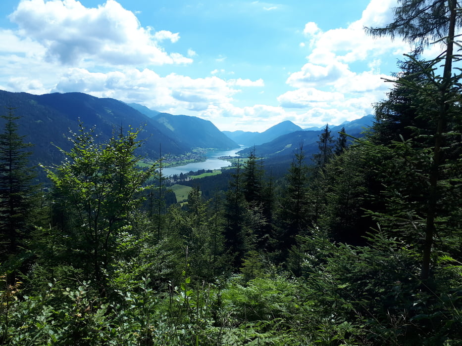
Start der Tour ist am Weißensee in Naggl.
Von Naggl geht es über die Seestraße nach Techendorf, über die Seepromenade (Nordseite) nach Praditz, und über die Straße zum Kreuzwirt.
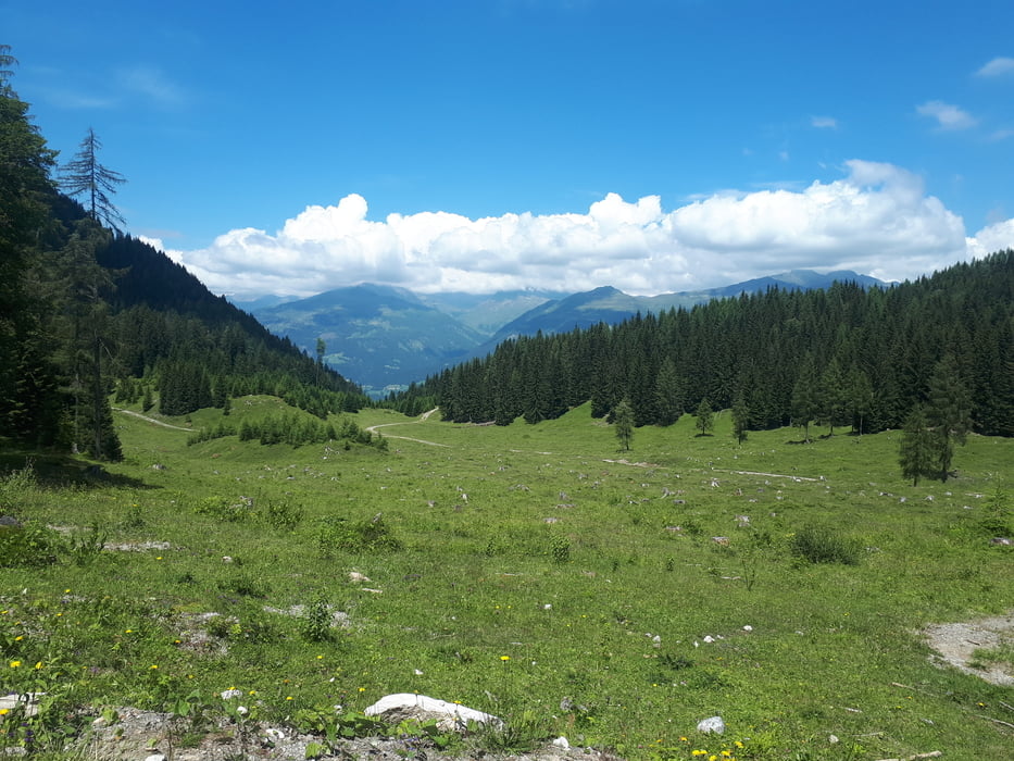
Hinter dem Kreuzwirt beginnt der Anstieg Richtung Waisacher Alm.
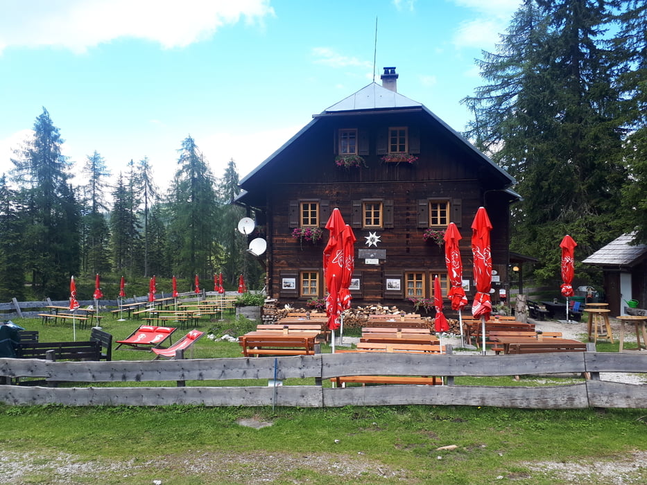
Vorbei an der Waisacher Alm geht es weiter auf die Comptonhütte.
Zurück zum Weißensee führt die Strecke über den Kreuzberg und die Seepromenade (Südseite).
Die Strecke auf die Comptonhütte ist KEINE offizelle MTB- Strecke, laut Hüttenwirt von der Comptonhütte wird das befahren mit dem Rad geduldet.
Further information at
https://www.alpenverein.at/etcomptonhuette/Tour gallery

Tour map and elevation profile
Minimum height 931 m
Maximum height 1601 m
More about the tour author
|
|
kersti |
Comments

Gebührenpflichtige Parkplätze in Naggl
GPS tracks
Trackpoints-
GPX / Garmin Map Source (gpx) download
-
TCX / Garmin Training Center® (tcx) download
-
CRS / Garmin Training Center® (crs) download
-
Google Earth (kml) download
-
G7ToWin (g7t) download
-
TTQV (trk) download
-
Overlay (ovl) download
-
Fugawi (txt) download
-
Kompass (DAV) Track (tk) download
-
Track data sheet (pdf) download
-
Original file of the author (gpx) download
More about the tour author
|
|
kersti |
Add to my favorites
Remove from my favorites
Edit tags
Open track
My score
Rate