


2. Mörbisch-Unterkohlstätten
Mörbisch-Klingenbach-Schattendorf-Rohrbach-Herrentisch-
Lackenbach-Stoob-Oberpullendorf-Lockenhaus-
Geschriebenstein-Unterkohlstätten
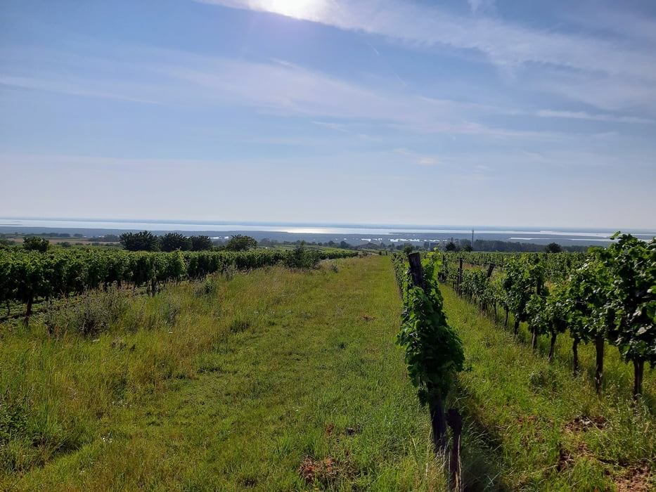
Zunächst schöne, asphaltierte Radwege. Zum Herrentisch rauf gut zu pedalieren, im Wald genießt man den Schatten.
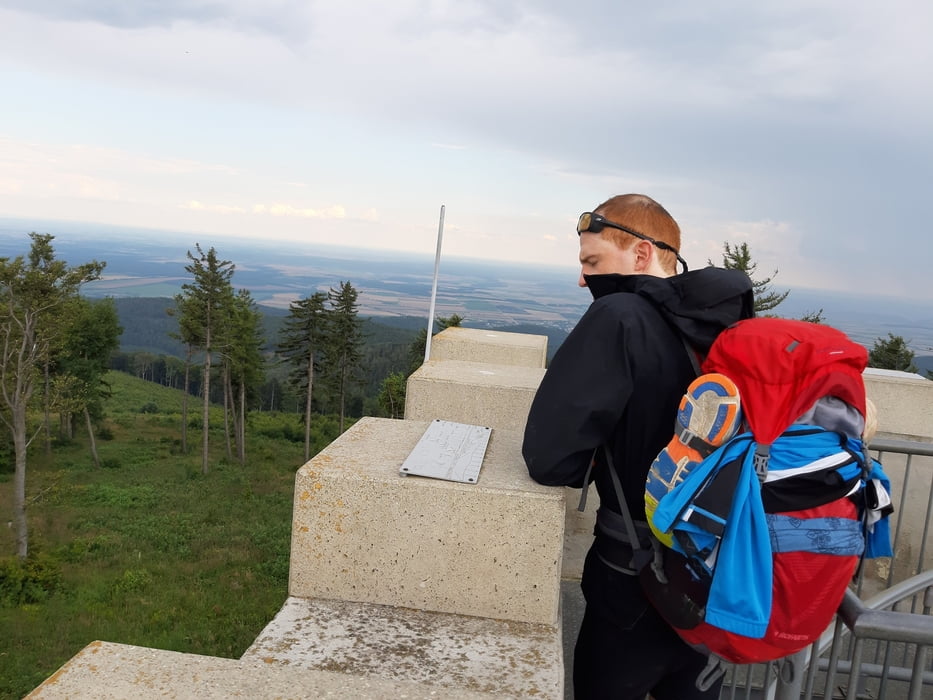
Hinauf zum Geschriebenstein (884 m, höchster Punkt im Burgenland!) offizielle MTB Strecke über schöne Forststraßen und einige interessante uphill trails.
Oben vom Aussichtsturm gute Sicht in die pannonische Tiefebene, zum Masenberg und in die bucklige Welt.
Quartier: Gh Holzschuster, gut.
Further information at
https://gasthof-holzschuster.at/Tour gallery
Tour map and elevation profile
Minimum height 150 m
Maximum height 855 m
More about the tour author
|
|
mitter |
Comments

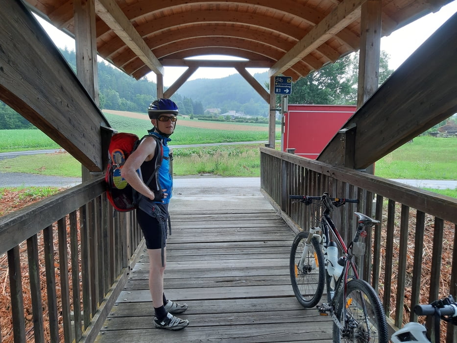
Start in Mörbisch.
GPS tracks
Trackpoints-
GPX / Garmin Map Source (gpx) download
-
TCX / Garmin Training Center® (tcx) download
-
CRS / Garmin Training Center® (crs) download
-
Google Earth (kml) download
-
G7ToWin (g7t) download
-
TTQV (trk) download
-
Overlay (ovl) download
-
Fugawi (txt) download
-
Kompass (DAV) Track (tk) download
-
Track data sheet (pdf) download
-
Original file of the author (gpx) download
More about the tour author
|
|
mitter |
Add to my favorites
Remove from my favorites
Edit tags
Open track
My score
Rate