


3. Unterkohlstätten-Anger
Unterkohlstätten-Stadt Schlaining-Oberwart-Hartberg-
Masenberg-Schloffereck-Wolfgrube-Gschaid-Rabenwald-
Anger
Die ersten 45 km mit ca 500 hm relativ flach und hauptsächlich auf Nebenstraßen und Radwegen.
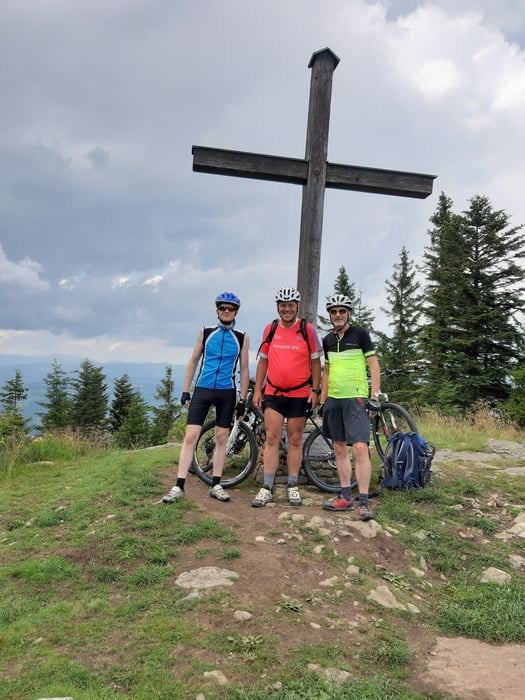
Ab Hartberg beginnt die ca. 1000 hm Steigung zum Masenberg, tw auf Wanderwegen (fallweise zu schieben), tw auf der Straße, leider sonnenexponiert.
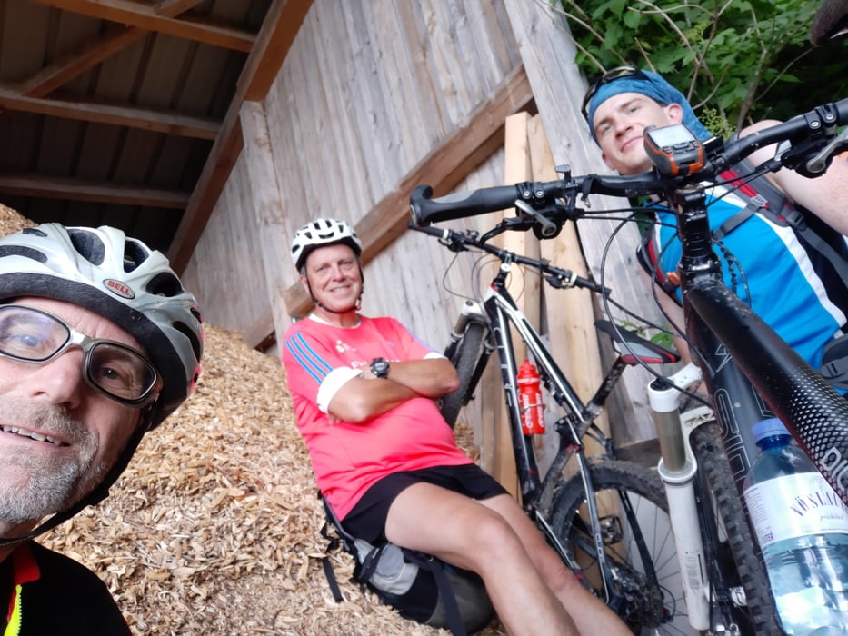
Oben in angenehmer Hütte eingekehrt. Abfahrt anfangs rassig über einen Wanderweg, dann sind wir auf eine Straße ausgewichen, auch weil ein Gewitter drohte.
Übers Schloffereck, Wolfsgrube zum Gschaid auf alten Saumpfaden. Vom Gschaid nehmen wir den Rabenwald Panoramaweg. Der Waldweg ist tw zu schieben, tw lässig zu fahren.
Oben hat uns dann ein heftiger Regen erwischt, sodass runter beinahe Aquaplaninggefahr herrschte. Alles in allem eine schöne Etappe.
Further information at
https://www.outdooractive.com/de/poi/oststeiermark/schutzhuette-masenberg/9071244/Tour gallery
Tour map and elevation profile
Minimum height 310 m
Maximum height 1276 m
More about the tour author
|
|
mitter |
Comments

Start in Unterkohlstätten beim Gh Holzschuster.
GPS tracks
Trackpoints-
GPX / Garmin Map Source (gpx) download
-
TCX / Garmin Training Center® (tcx) download
-
CRS / Garmin Training Center® (crs) download
-
Google Earth (kml) download
-
G7ToWin (g7t) download
-
TTQV (trk) download
-
Overlay (ovl) download
-
Fugawi (txt) download
-
Kompass (DAV) Track (tk) download
-
Track data sheet (pdf) download
-
Original file of the author (gpx) download
More about the tour author
|
|
mitter |
Add to my favorites
Remove from my favorites
Edit tags
Open track
My score
Rate