


13. Westendorf-Auffach Wildschönau
Westendorf-Glanterer Kogel-Kelchsau-Gh Moderstock-
Großdostalm-Siedeljoch-Gh Schönangeralm-
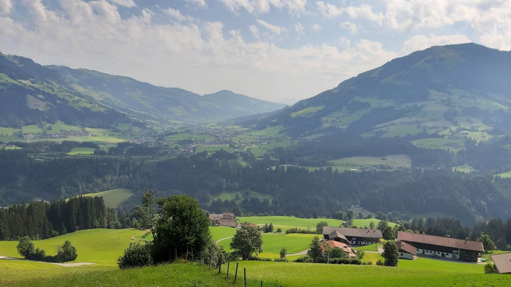
Auffach Wildschönau
Die Auffahrt zum Glanterer Kogel - komme knapp unterhalb vorbei - auf guten off. MTB Routen bis Kelchsau.
Von da geht’s dann in moderater Steigung den sog. "Langen Grund" hinein ins Tal, über weite Strecke Asphalt. Rechts weg wird’s dann gleich steiler, aber weiter guter Schotterweg.Zwar Radlverbot, es kommen aber einige Biker entgegen…
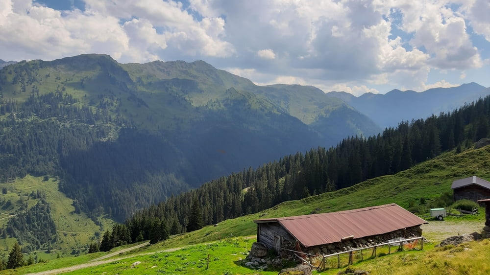
Von der Großdostalm - Wasser fassen! - beginnt eine ca 20' Schiebepassage rauf zum Siedeljoch. Kurz vorm Joch noch mal eine gefasste Quelle.
Auch runter hab ich ein wenig bis zur Forststraße geschoben. Auf der dann rasch runter nach Auffach.
Quartier: Haus am Wildbach, besonders.
Further information at
https://www.pension-wildbach.com/index.php?id=homeTour gallery
Tour map and elevation profile
Minimum height 689 m
Maximum height 1698 m
More about the tour author
|
|
mitter |
Comments

Start in Westendorf Haus Georg.
GPS tracks
Trackpoints-
GPX / Garmin Map Source (gpx) download
-
TCX / Garmin Training Center® (tcx) download
-
CRS / Garmin Training Center® (crs) download
-
Google Earth (kml) download
-
G7ToWin (g7t) download
-
TTQV (trk) download
-
Overlay (ovl) download
-
Fugawi (txt) download
-
Kompass (DAV) Track (tk) download
-
Track data sheet (pdf) download
-
Original file of the author (gpx) download
More about the tour author
|
|
mitter |
Add to my favorites
Remove from my favorites
Edit tags
Open track
My score
Rate