


17. Alpenhotel Ammerwald-Oberstdorf
Alpenhotel Ammerwald-Jägerhütte-Bleckenau-
beim Schloss Neuschwanstein-Füssen-Weißensee-Pfronten-
Oberjoch-Sonthofen-Oberstdorf
Bald nach dem Start beginnt über einen single track die ca 300 hm Schiebung (ca. 50'), da kommen uns einige Biker entgegen. Vor der Jägerhütte ist es wieder gut fahrbar.
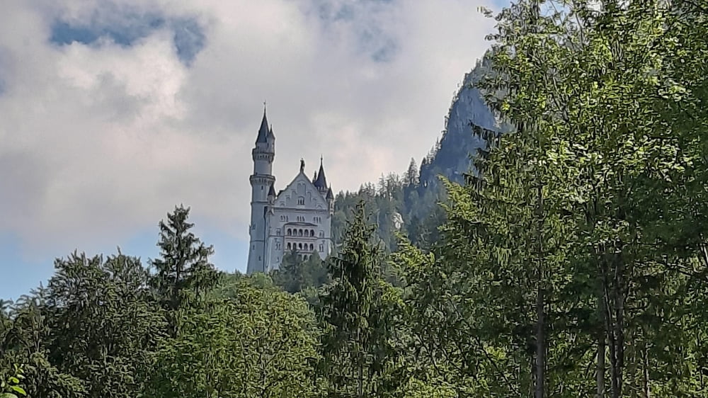
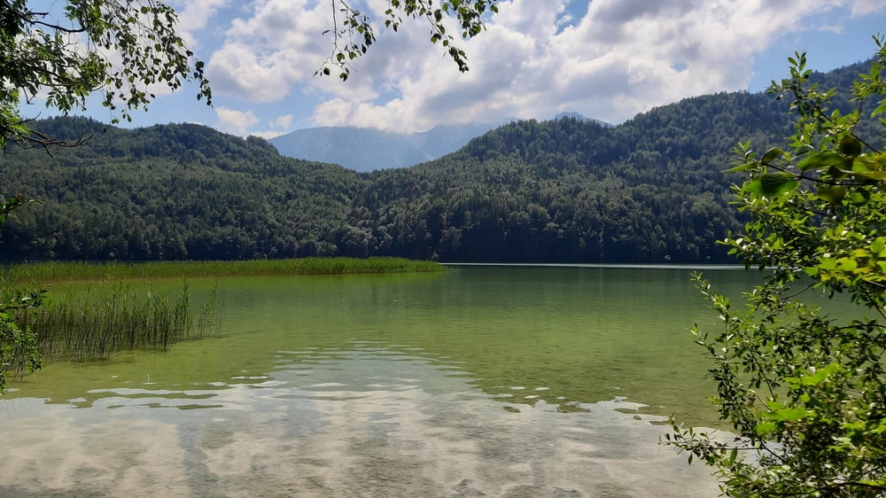
Bei Bleckenau nehmen wir die Schotterstraße links. Beim Schloss Neuschwanstein stehen die Touris im Wald Schlange. Nach Pfronten und am Weißensee entlang auf einem Radweg. Dann kommt bald die nächste Schiebung, ca . 200 hm bissl steil.
Die Steigung zum Oberjoch ist dann stetig, fahrbar - bis auf ca 30 hm.
Von dort der fortgeschrittenen Stunde wegen (die Quartiersuche in der Früh dauerte Stunden, daher erst nach 11 Uhr Abfahrt) die Straße runter, bald Radweg neben der Hauptstraße nach Sonthofen und von den Schotterradweg dem Fluss entlang ganz leicht steigend bis Oberstdorf.
Oberstdorf hat nicht ganz 10000 Einwohner und im Jahr über 2 Millionen Nächtigungen, dh. um ein Quartier muss man sich hier lange vorher bemühen.
Further information at
https://de.wikipedia.org/wiki/OberstdorfTour gallery
Tour map and elevation profile
Minimum height 756 m
Maximum height 1414 m
More about the tour author
|
|
mitter |
Comments

Start beim Alpenhotel Ammerwald.
GPS tracks
Trackpoints-
GPX / Garmin Map Source (gpx) download
-
TCX / Garmin Training Center® (tcx) download
-
CRS / Garmin Training Center® (crs) download
-
Google Earth (kml) download
-
G7ToWin (g7t) download
-
TTQV (trk) download
-
Overlay (ovl) download
-
Fugawi (txt) download
-
Kompass (DAV) Track (tk) download
-
Track data sheet (pdf) download
-
Original file of the author (gpx) download
More about the tour author
|
|
mitter |
Add to my favorites
Remove from my favorites
Edit tags
Open track
My score
Rate