

Die Tour in Oberau beginnen, dann entkommt man dem Trubel in Ettal etwas. Die Strecke nach Farchant ist einfach zu bewältigen, bevor der Lange Anstieg bis zu Enningalm ansteht. Bei der Abfahrt nach Graswang auf den ersten 300 Hm aufpassen wenn die Strecke feucht ist, dass man nicht von dem schmalen Weg abkommt! (Absturzgefahr)
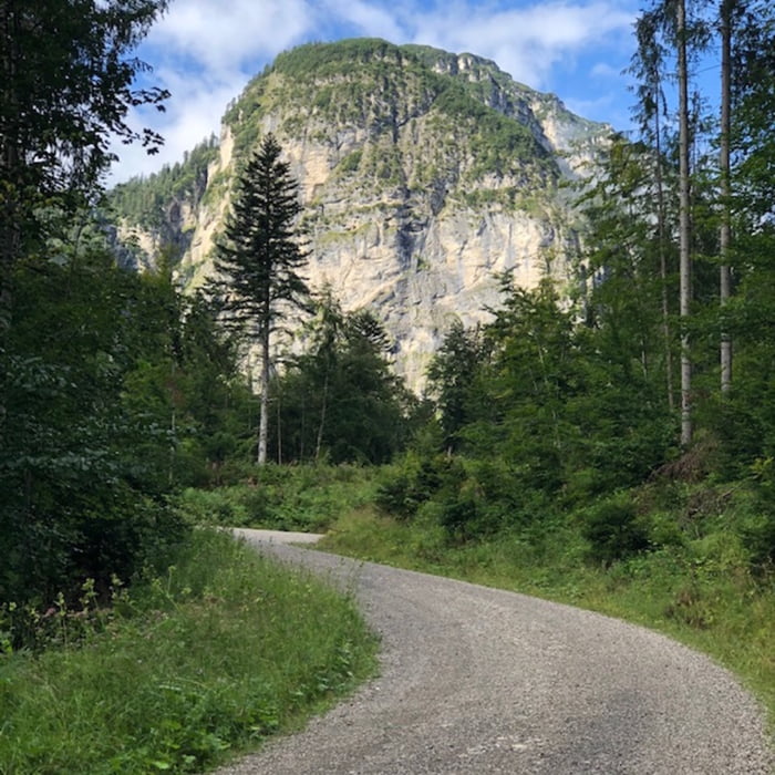
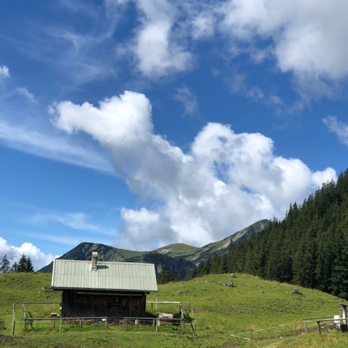
Tour gallery

Tour map and elevation profile
Minimum height 654 m
Maximum height 1557 m
More about the tour author

|
sepppes |
Comments

Am besten mit dem Zug nach Oberau oder mit dem eigenen Auto (Kreuzung B2 B23 gibt es noch kostenlose Parkplätze)
GPS tracks
Trackpoints-
GPX / Garmin Map Source (gpx) download
-
TCX / Garmin Training Center® (tcx) download
-
CRS / Garmin Training Center® (crs) download
-
Google Earth (kml) download
-
G7ToWin (g7t) download
-
TTQV (trk) download
-
Overlay (ovl) download
-
Fugawi (txt) download
-
Kompass (DAV) Track (tk) download
-
Track data sheet (pdf) download
-
Original file of the author (gpx) download
More about the tour author
|
|
sepppes |
Add to my favorites
Remove from my favorites
Edit tags
Open track
My score
Rate