


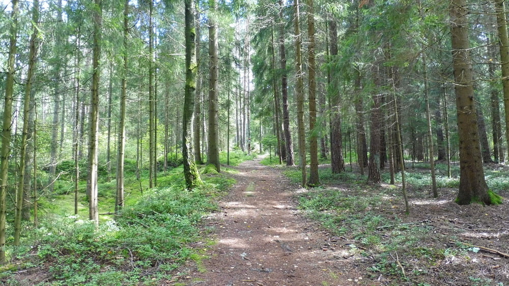
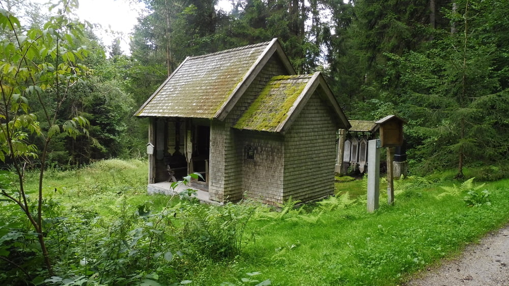
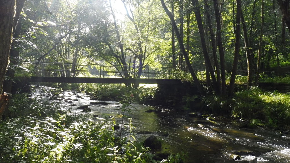
Vom Bahnhof Padersdorf folgen wir der Markierung Rot 20 entlang des Pfahls bis Fratersdorf. Wir überqueren die Bundesstraße und folgen der Beschilderung zur 14-Nothelfer-Kapelle. Der Rückweg führt über Vorder- und Hinterdietzberg. Wir erreichen das idyllische Teisnachtal. Über eine kleine Brücke geht es nun entlang dem Gleis der Waldbahn zurück zum Ausgangspunkt.
POI: Quarzsteinbrüche und Quarzfelsen, 14-Nothelfer-Kapelle
Tour gallery

Tour map and elevation profile
Minimum height 459 m
Maximum height 660 m
More about the tour author

|
ejee |
Comments

GPS tracks
Trackpoints-
GPX / Garmin Map Source (gpx) download
-
TCX / Garmin Training Center® (tcx) download
-
CRS / Garmin Training Center® (crs) download
-
Google Earth (kml) download
-
G7ToWin (g7t) download
-
TTQV (trk) download
-
Overlay (ovl) download
-
Fugawi (txt) download
-
Kompass (DAV) Track (tk) download
-
Track data sheet (pdf) download
-
Original file of the author (gpx) download
More about the tour author
|
|
ejee |
Add to my favorites
Remove from my favorites
Edit tags
Open track
My score
Rate