


Dies ist eine offizielle Wieneralpenstrecke im Semmeringgebiet.
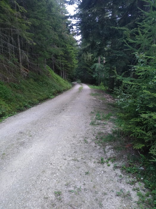
Die Route ist gut beschildert und führt meist auf richtig guten Forstwegen oder Asphaltwegen niemals aber steil, einen kleinen Rundkurs.
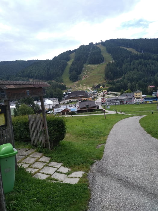
Ausgehend vom Parkplatz auf der Passhöhe, an renomierten Häusern vorbei in den Wald. Stetig steigend bis ca. Kilometer 8. Danach gehts zuerst auf Schotter dann wirklich genüsslich auf Asphalt bergab. Wie gesagt niemals steil. Gegen Ende der Tour folgt dann der auch sehr einfache Aufstieg zurück zum Ausgangspunkt.
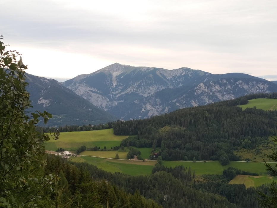
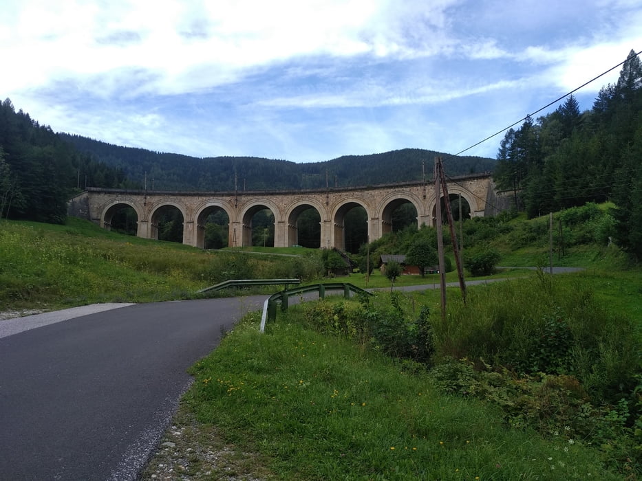
Mehrere gute Aussichtspanoramen sind an der Strecke. Auch die berühmten Semmeringbrücken liegen am Weg.
offizielle Website: https://www.wieneralpen.at/a-liechtenstein-mtb-strecke
Tour gallery
Tour map and elevation profile
Minimum height 770 m
Maximum height 1304 m
More about the tour author
|
|
Jonas6x62 |
Comments

GPS tracks
Trackpoints-
GPX / Garmin Map Source (gpx) download
-
TCX / Garmin Training Center® (tcx) download
-
CRS / Garmin Training Center® (crs) download
-
Google Earth (kml) download
-
G7ToWin (g7t) download
-
TTQV (trk) download
-
Overlay (ovl) download
-
Fugawi (txt) download
-
Kompass (DAV) Track (tk) download
-
Track data sheet (pdf) download
-
Original file of the author (gpx) download
More about the tour author
|
|
Jonas6x62 |
Add to my favorites
Remove from my favorites
Edit tags
Open track
My score
Rate