


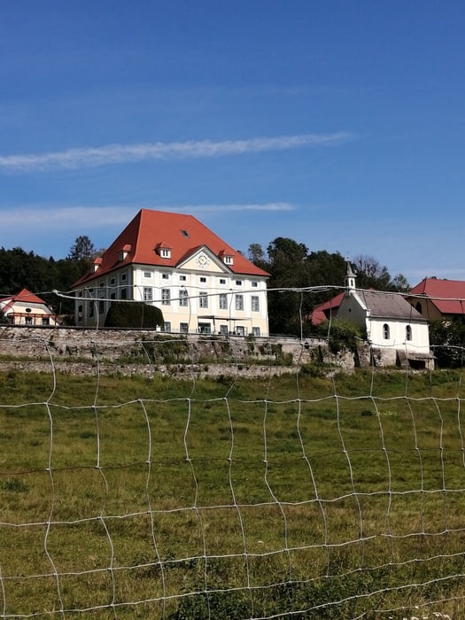
Von Klagenfurt den R7 entlang über Wrießnitz, St. Peter am Bichl nach Zweikirchen. Auf der Vierbergeroute nach St. Leonhard, links ab und ständig bergauf nach Gramilach und Mauer. Dort wieder links weg, und von nun an bergab über Deblach und Paindorf ins Glantal. Bei Friedlach überqueren wir die Bundestraße zum Bahnhof nach Glanegg. Weiter über Glantscha nach Maria Feicht auf der Hauptstraße bis Flatschach. Links weg nach Zmuln und auf der nächsten Hauptstraße Richtung Pitzelstätten mit Umweg über Schloß Tentschach und Ehrenbichl, Lendorf zurück zum Ausgangspunkt.
Tour gallery
Tour map and elevation profile
Minimum height 436 m
Maximum height 732 m
More about the tour author
|
|
walderich |
Comments

GPS tracks
Trackpoints-
GPX / Garmin Map Source (gpx) download
-
TCX / Garmin Training Center® (tcx) download
-
CRS / Garmin Training Center® (crs) download
-
Google Earth (kml) download
-
G7ToWin (g7t) download
-
TTQV (trk) download
-
Overlay (ovl) download
-
Fugawi (txt) download
-
Kompass (DAV) Track (tk) download
-
Track data sheet (pdf) download
-
Original file of the author (gpx) download
More about the tour author
|
|
walderich |
Add to my favorites
Remove from my favorites
Edit tags
Open track
My score
Rate