Login

Forgot your login?

Cookies have to be accepted!
Your browser's cookie functionality is disabled. Please enable this functionality.

Not a member yet?

Register now
Login

Available for registred users only

Log in to use this feature.

Forgot your login?

Cookies have to be accepted!
Your browser's cookie functionality is disabled. Please enable this functionality.

Not a member yet?

Register now
Filter
Categories
Advanced filters
  • Distance (km)
  • Height
Save filters Reset filter

TrackRank

QRCode

Technical data

Distance227,7 km Height1022 m Way down2317 m Duration00:00 h:m Date15.09.2020
Scores Author Landscape Fun factor Fitness Technique

Statistics

770 Views Scores 77 Downloads Average
Rate
  • Track data sheet
  • Directions
  • Downloads

Etschtalradweg 2020: Geasmt Strecke
gefahren in 4 Etappe 


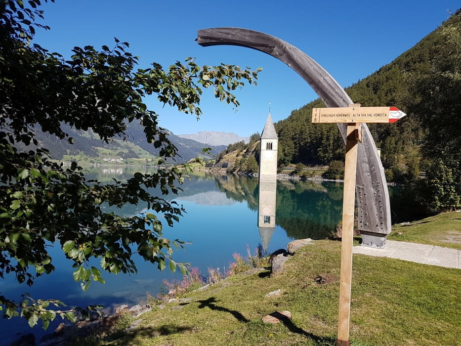
Etappe 1: Nauders nach Latsch
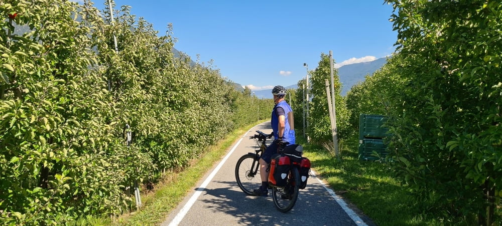
Etappe 2: Latsch nach Bozen
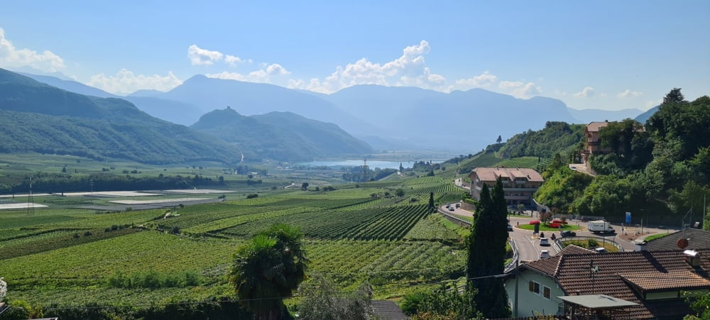
Etappe 3: Bozen nach Trient über Kalterer See
Etappe 4: Trient nach Riva (Gardasee)

Further information at

https://de.wikipedia.org/wiki/Etsch-Radweg

Tour gallery

Tour map and elevation profile

  • Open Street Map
  • Google
Minimum height 66 m Maximum height 1521 m Detailed view

More about the tour author

Stummi
Member since 2009

Send private message

Comments

GPS tracks

Trackpoints
  • GPX / Garmin Map Source (gpx) download
  • TCX / Garmin Training Center® (tcx) download
  • CRS / Garmin Training Center® (crs) download
  • Google Earth (kml) download
  • G7ToWin (g7t) download
  • TTQV (trk) download
  • Overlay (ovl) download
  • Fugawi (txt) download
  • Kompass (DAV) Track (tk) download
  • Track data sheet (pdf) download
  • Original file of the author (gpx) download

More about the tour author

Stummi
Member since 2009

Send private message
Share track
Add to my favorites
Remove from my favorites
Edit tags
My score
Rate
Track: Etschtalradweg von Nauders nach Riva (Gardasee)
Type: Bicycle tours
Distance: 227,7 km
Evaluated on:
Duration:
Day(s)
Hour(s)
Minute(s)
Score: Landscape Fun factor Fitness Technique