Login

Forgot your login?

Cookies have to be accepted!
Your browser's cookie functionality is disabled. Please enable this functionality.

Not a member yet?

Register now
Login

Available for registred users only

Log in to use this feature.

Forgot your login?

Cookies have to be accepted!
Your browser's cookie functionality is disabled. Please enable this functionality.

Not a member yet?

Register now
Filter
Categories
Advanced filters
  • Distance (km)
  • Height
Save filters Reset filter

TrackRank

QRCode

Technical data

Distance9,5 km Height505 m Way down502 m Duration04:52 h:m Date23.08.2020
Scores Author Landscape Fun factor Fitness Technique

Statistics

202 Views Scores 7 Downloads Average
Rate
  • Track data sheet
  • Directions
  • Downloads

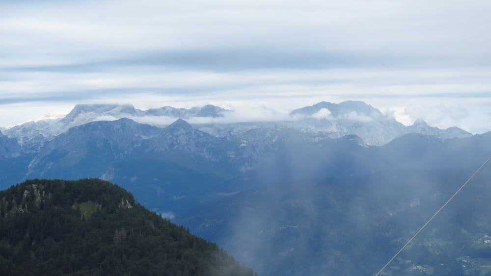
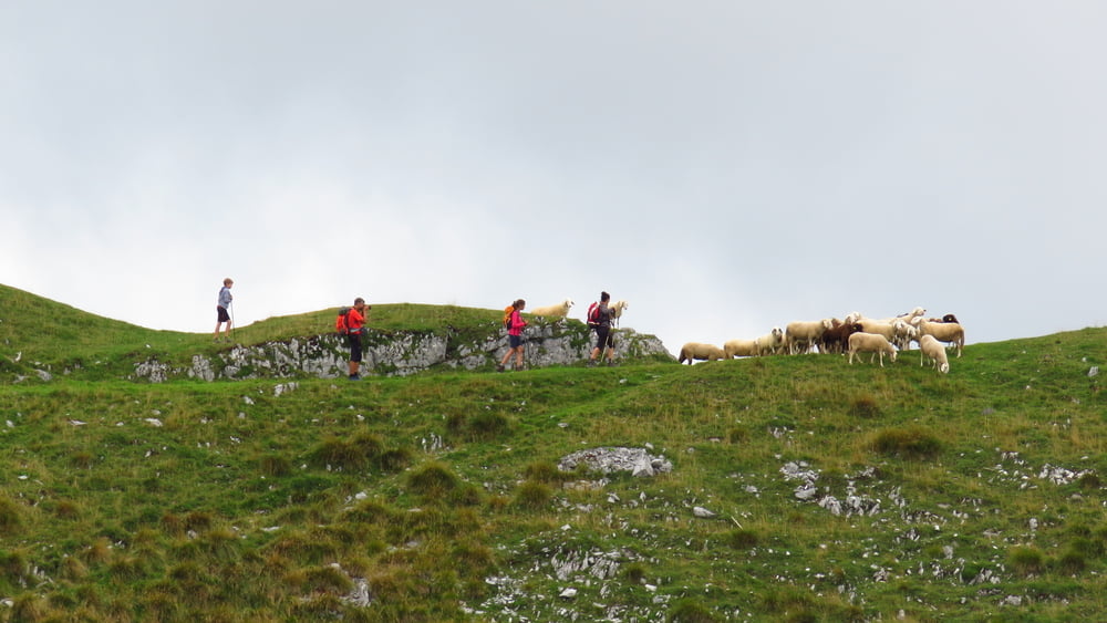
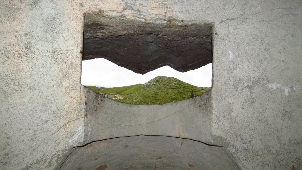
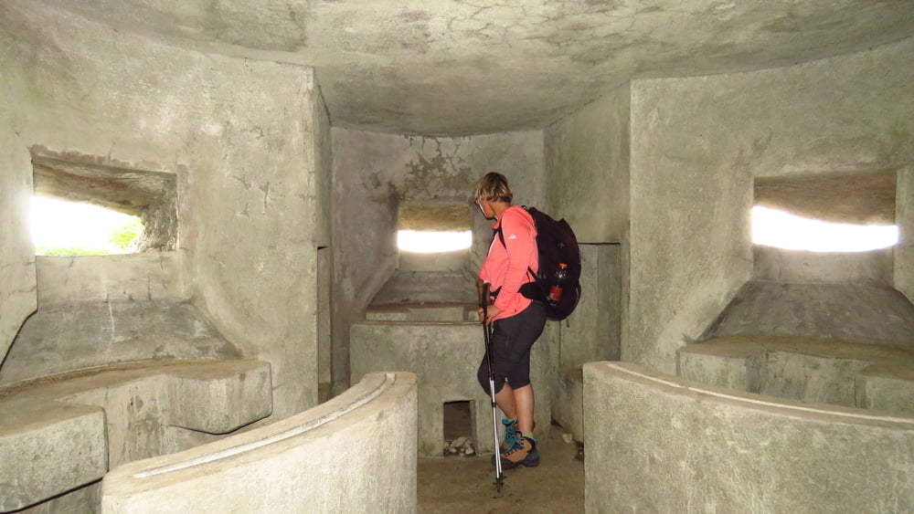
Obhodila sva vse vrhove nad Soriško planino razen Čevžla in si vmes ogledala notranjost nekaterih bunkerjev. Vreme je bilo zjutraj bolj megleno, kasneje pa oblačno.

Prav pretegnila se nisva.

Tour gallery

Tour map and elevation profile

  • Open Street Map
  • Google
Minimum height 1268 m Maximum height 1582 m Detailed view

More about the tour author

sandibor
Member since 2017

Send private message

Comments

GPS tracks

Trackpoints
  • GPX / Garmin Map Source (gpx) download
  • TCX / Garmin Training Center® (tcx) download
  • CRS / Garmin Training Center® (crs) download
  • Google Earth (kml) download
  • G7ToWin (g7t) download
  • TTQV (trk) download
  • Overlay (ovl) download
  • Fugawi (txt) download
  • Kompass (DAV) Track (tk) download
  • Track data sheet (pdf) download
  • Original file of the author (gpx) download

More about the tour author

sandibor
Member since 2017

Send private message
Share track
Add to my favorites
Remove from my favorites
Edit tags
My score
Rate
Track: Vrhovi in bunkerji nad Soriško planino
Type: Mountain hiking
Distance: 9,5 km
Evaluated on:
Duration:
Day(s)
Hour(s)
Minute(s)
Score: Landscape Fun factor Fitness Technique