

Wanderung vom Campingplatz Raggaschlucht über Schmelzhütten in die Raggaschlucht.
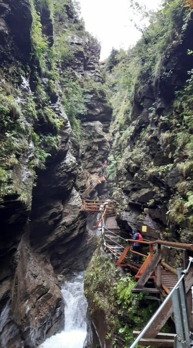
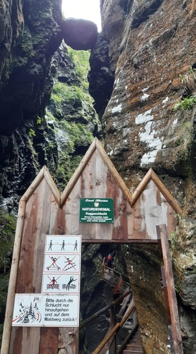
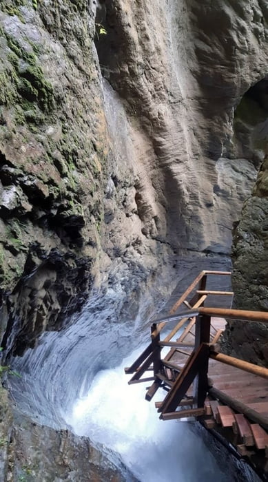
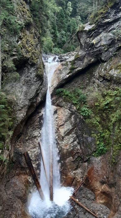
Spektakuläre Durchwanderung der Schlucht – viele Höhenmeter auf Holzstiegen und Holzbowlen.
Retour auf steiler Forststraße bergab nach Schmelzhütten.
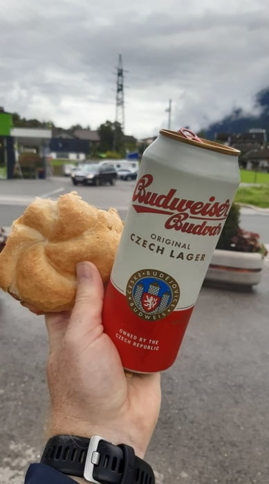
Auf dem Radweg und entlang der Möll sind wir dann noch zum ADEG unseres Vertrauens auf eine Leberkäsesemmel gewandert.
Retour durch Kleindorf zum Ausgangspunkt Campingplatz Raggaschlucht.
Tour gallery
Tour map and elevation profile
Minimum height 701 m
Maximum height 941 m
More about the tour author
|
|
Hoar |
Comments

Campingplatz Raggaschlucht
auch ein Parkplatz an der Möll ist dort vorhanden
GPS tracks
Trackpoints-
GPX / Garmin Map Source (gpx) download
-
TCX / Garmin Training Center® (tcx) download
-
CRS / Garmin Training Center® (crs) download
-
Google Earth (kml) download
-
G7ToWin (g7t) download
-
TTQV (trk) download
-
Overlay (ovl) download
-
Fugawi (txt) download
-
Kompass (DAV) Track (tk) download
-
Track data sheet (pdf) download
-
Original file of the author (gpx) download
More about the tour author
|
|
Hoar |
Add to my favorites
Remove from my favorites
Edit tags
Open track
My score
Rate