Login

Forgotten password?

Cookies have to be accepted!
Your browser's cookie functionality is disabled. Please enable this functionality.

Not a member yet?

Register now
Login

Available for registred users only

Log in to use this feature.

Forgotten password?

Cookies have to be accepted!
Your browser's cookie functionality is disabled. Please enable this functionality.

Not a member yet?

Register now
Filter
Categories
Advanced filters
  • Distance (km)
  • Height
Save filters Reset filter

TrackRank

QRCode

Technical data

Distance14,8 km Height495 m Way down495 m Duration00:00 h:m Date24.09.2020
Scores Author Landscape Fun factor Fitness Technique

Statistics

209 Views Scores 13 Downloads Average
Rate
  • Track data sheet
  • Directions
  • Downloads
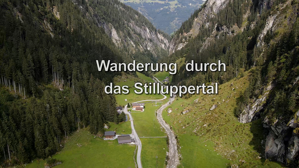
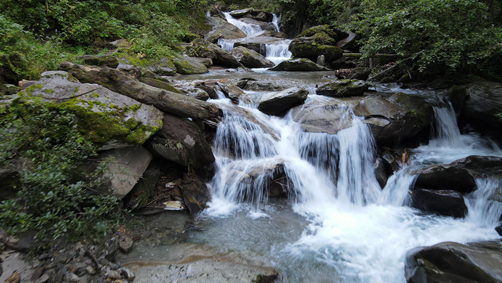
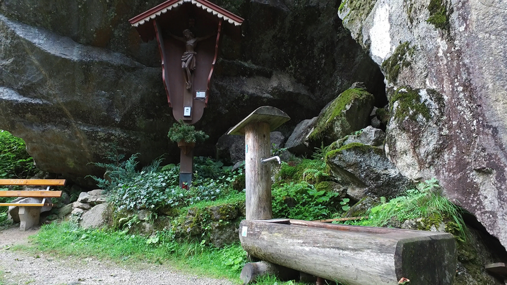
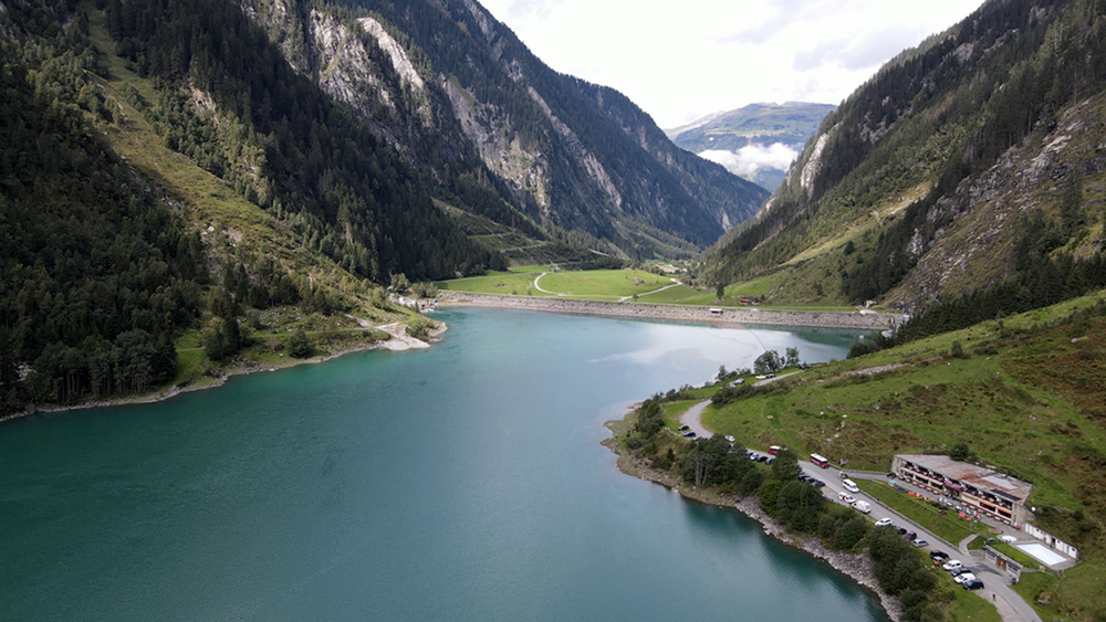
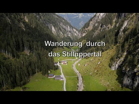
Von unserer Pension, im Ortsteil Dorf-Haus von Mayrhofen, gehen wir durch den alten Dorfkern zum Eingang der Klamm, durchlaufen die diese und gelangen auf die Zufahrtsstraße zum Stilluppersee. Durch das Stilluppertal folgend wir dieser Straße und gelangen zum Stausee unserem heutigen Ziel.

Tour gallery

Tour map and elevation profile

  • Open Street Map
  • Google
Minimum height 643 m Maximum height 1131 m Detailed view

More about the tour author

schleidy
Member since 2013

Send private message

Comments

GPS tracks

Trackpoints
  • GPX / Garmin Map Source (gpx) download
  • TCX / Garmin Training Center® (tcx) download
  • CRS / Garmin Training Center® (crs) download
  • Google Earth (kml) download
  • G7ToWin (g7t) download
  • TTQV (trk) download
  • Overlay (ovl) download
  • Fugawi (txt) download
  • Kompass (DAV) Track (tk) download
  • Track data sheet (pdf) download
  • Original file of the author (gpx) download

More about the tour author

schleidy
Member since 2013

Send private message
Share track
Add to my favorites
Remove from my favorites
Edit tags
My score
Rate
Track: Das Stilluppertal
Type: Hiking
Distance: 14,8 km
Evaluated on:
Duration:
Day(s)
Hour(s)
Minute(s)
Score: Landscape Fun factor Fitness Technique