


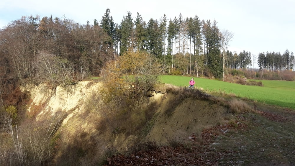
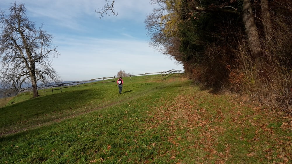
Wanderung beim Gehrenberg Aussichtsturm. Vor bei an der Hangkante mit Aussicht auf Linzgau und Bodensee gehen wir auf schönen Wegen Richtung Wendlingen und Harresheim. Hier gibts Blicke ins Deggenhausertal und Höchsten. Vorbei an Roggenbeuren gehen wir erst Richtung Gangweiler und zum Höchsten Punkt vom Gehrenberg. Zurück zum Wanderparkplatz und Aussichtsturm.
Tour ist Nicht Kinderwagentauglich.
Further information at
https://www.gehrenberg-bodensee.de/Tour gallery
Tour map and elevation profile
Minimum height 525 m
Maximum height 747 m
More about the tour author
|
|
Bockrider |
Comments

Markdorf auf K7750 bis Allerheiligen. Parkmöglichkeit nähe Aussichtsturm.
GPS tracks
Trackpoints-
GPX / Garmin Map Source (gpx) download
-
TCX / Garmin Training Center® (tcx) download
-
CRS / Garmin Training Center® (crs) download
-
Google Earth (kml) download
-
G7ToWin (g7t) download
-
TTQV (trk) download
-
Overlay (ovl) download
-
Fugawi (txt) download
-
Kompass (DAV) Track (tk) download
-
Track data sheet (pdf) download
-
Original file of the author (gpx) download
More about the tour author
|
|
Bockrider |
Add to my favorites
Remove from my favorites
Edit tags
Open track
My score
Rate