


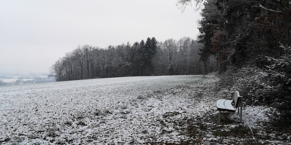
Diese Wanderung kombiniert einige Sehenswürdigkeiten von Donauwörth mit einer Wanderung direkt entlang der Donau. Der Rückweg ist dann über der Donau mit Weitblicken auf die Donau und Lech Ebene. Bei Föhnlagen reicht der Blick bis zu den Alpen.
- Donauspitz
- Statue Junge Donau
- Alter Donauhafen
- Donaupromenade
- Wanderung entlang der Donau bis Fußballplatz von Zirgesheim
- Aufstieg zum Stillberghof
- Edelweißweg
- Dirlitzenberg
- Grillplatz Wichtelesberg
- Sternschanze
- Kreuzweg am Kalvarienberg
- Mangoldfelsen
- Gewürz- und Kräutergarten
- Käte Kruse Puppenmuseum
- Reichsstraße
- Altstadtinsel Ried (Gastronomie)
Tour gallery


Tour map and elevation profile
Minimum height 398 m
Maximum height 512 m
More about the tour author
|
|
JoachimDief |
Comments

Wohnmobilstellplatz an der Neuen Obermayerstraße
GPS tracks
Trackpoints-
GPX / Garmin Map Source (gpx) download
-
TCX / Garmin Training Center® (tcx) download
-
CRS / Garmin Training Center® (crs) download
-
Google Earth (kml) download
-
G7ToWin (g7t) download
-
TTQV (trk) download
-
Overlay (ovl) download
-
Fugawi (txt) download
-
Kompass (DAV) Track (tk) download
-
Track data sheet (pdf) download
-
Original file of the author (gpx) download
More about the tour author
|
|
JoachimDief |
Add to my favorites
Remove from my favorites
Edit tags
Open track
My score
Rate