Login

Forgot your login?

Cookies have to be accepted!
Your browser's cookie functionality is disabled. Please enable this functionality.

Not a member yet?

Register now
Login

Available for registred users only

Log in to use this feature.

Forgot your login?

Cookies have to be accepted!
Your browser's cookie functionality is disabled. Please enable this functionality.

Not a member yet?

Register now
Filter
Categories
Advanced filters
  • Distance (km)
  • Height
Save filters Reset filter

TrackRank

QRCode

Technical data

Distance36,9 km Height395 m Way down358 m Duration00:00 h:m Date07.11.2020
Scores Author Landscape Fun factor Fitness Technique

Statistics

269 Views Scores 5 Downloads Average
Rate
  • Track data sheet
  • Directions
  • Downloads
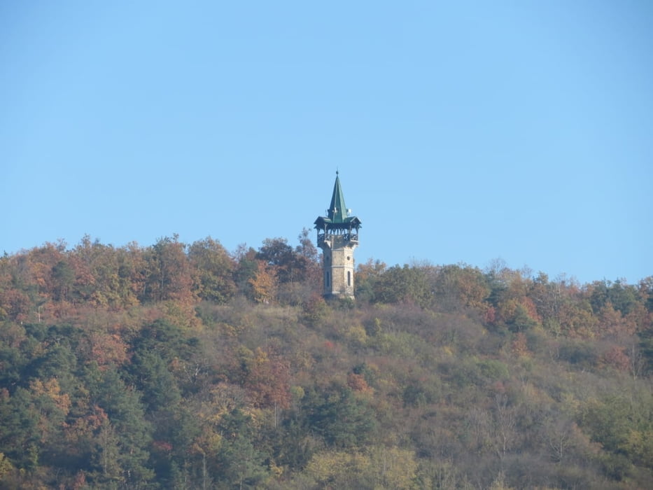
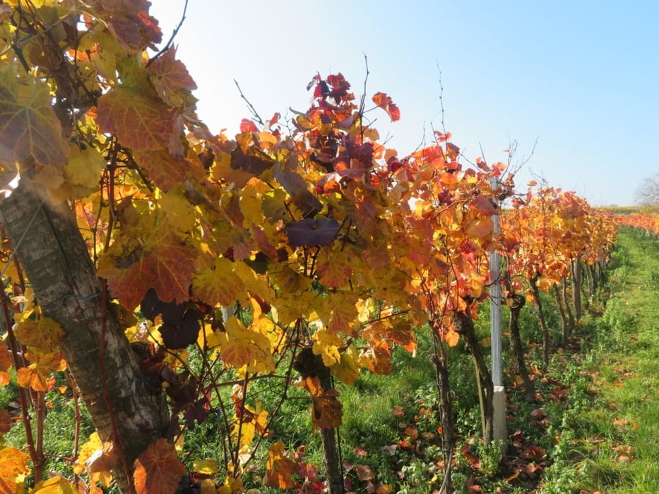
Wunderschöner Radweg entlang Donau und Kamp nordwärts bis Gars am Kamp
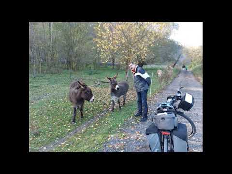
Tour gallery

Tour map and elevation profile

  • Open Street Map
  • Google
Minimum height 192 m Maximum height 265 m Detailed view

More about the tour author

rail-com

Comments

Bahn ÖBB bis Krems an der Donau

GPS tracks

Trackpoints
  • GPX / Garmin Map Source (gpx) download
  • TCX / Garmin Training Center® (tcx) download
  • CRS / Garmin Training Center® (crs) download
  • Google Earth (kml) download
  • G7ToWin (g7t) download
  • TTQV (trk) download
  • Overlay (ovl) download
  • Fugawi (txt) download
  • Kompass (DAV) Track (tk) download
  • Track data sheet (pdf) download
  • Original file of the author (gpx) download

More about the tour author

rail-com

Share track
Add to my favorites
Remove from my favorites
Edit tags
My score
Rate
Track: Kamp-Thaya-March-Radroute: Krems-Gars am Kamp
Type: Bicycle tours
Distance: 36,9 km
Evaluated on:
Duration:
Day(s)
Hour(s)
Minute(s)
Score: Landscape Fun factor Fitness Technique