The trip starts at small town called Feucherolles. Cycling east from there, you can enjoy some nice views at Saint Nom La Breteche, bike through remarkable forests at Noisy Le Roi, visit parcours in Marly Le Roi and finally reach Versailles through Rocquencourt.
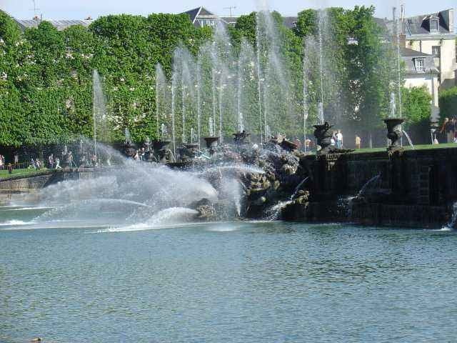
At the parc area closest to the Palace of Versailles cycling is not allowed, but you can go along Petit and Grand Trianons (entering gardens with a bike is forbidden) and around western part of Le Grand Canal. Don't miss the sunset view of the palace from the western end of the canal.
We decided to go back along the lakes near Buc and Guyancourt. Finally we could enjoy some views at crop fields near Chavenay.
Tour map and elevation profile
Minimum height 84 m
Maximum height 178 m
Comments

We have started from Feucherolles, but as it is a round-trip, you could start from any point and return to the same spot after a round.
GPS tracks
Trackpoints-
GPX / Garmin Map Source (gpx) download
-
TCX / Garmin Training Center® (tcx) download
-
CRS / Garmin Training Center® (crs) download
-
Google Earth (kml) download
-
G7ToWin (g7t) download
-
TTQV (trk) download
-
Overlay (ovl) download
-
Fugawi (txt) download
-
Kompass (DAV) Track (tk) download
-
Track data sheet (pdf) download
-
Original file of the author (gpx) download
Add to my favorites
Remove from my favorites
Edit tags
Open track
My score
Rate


